Westbroek
Located in De Bilt Municipality, Utrecht Coordinates: 52°09′00″ N 5°07′30″ E
- Population
- 1,197
- 1.2K
- Elevation
- 1 m
- above sea level
- Local time
- UTC+01:00
- Europe/Amsterdam · UTC+01:00
About Westbroek
Westbroek is a village. Location: De Bilt Municipality, Utrecht. Population: 1,197. Elevation: 1 m.
Westbroek is a village in the Dutch province of Utrecht. It is a part of the municipality of De Bilt, and lies about 6 km northwest of Bilthoven. Westbroek consists mainly of a ribbon of farms along a dike. The village is surrounded by a number of polders: the Polder Westbroek, the Kerkeindse Polder, and the Polder Achttienhoven in the north, and the Molenpolder and Polder de Kooi in the south. The Molenpolder is a nature reserve.
Read more on Wikipedia Text: Wikipedia contributors · CC BY-SA 4.0 · shortened
In comparison
- No. 6 of 10 places in De Bilt Municipality by population
- Nearest larger town: Maartensdijk, 3 km E
- 12 sights and natural places within 10 km Ruigenhoek Fort, Zwarte Berg
Nearby attractions & nature
Everything nearby-
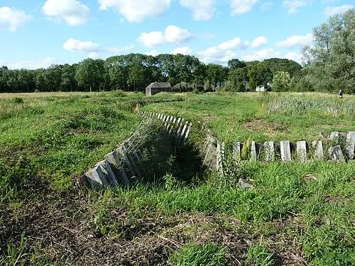 Ruigenhoek Fort Historic site, De Bilt Municipality2.3 km S
-
 Jacobikerk Attraction, Gemeente Utrecht6.1 km S
-
 Museum Catharijneconvent Museum, Gemeente Utrecht7 km S
-
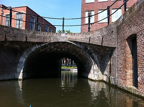 Plompetorenbrug Landmark, Gemeente Utrecht5.9 km S
-
Zwarte Berg Mountain, Hilversum Municipality5.4 km NE
-
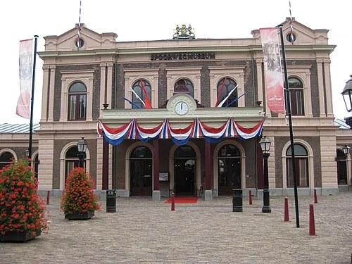 Het Spoorwegmuseum Museum, Gemeente Utrecht6.9 km S
Sources & licences
Data last updated: · 2 independent sources