Elst
Located in Rhenen Municipality, Utrecht Coordinates: 51°59′12″ N 5°29′50″ E
- Elevation
- 15 m
- above sea level
- Local time
- UTC+01:00
- Europe/Amsterdam · UTC+01:00
About Elst
Elst is a village. Location: Rhenen Municipality, Utrecht. Elevation: 15 m.
Elst is a village in the central Netherlands. It is located in the municipality of Rhenen, Utrecht, about 5 km southwest of Veenendaal. Until 1 January 2006, the western tip of the village was in the municipality of Amerongen. The village was first mentioned in 1448 as "op Elscher maelstat", and means "place where alder trees grow". Elst developed into a settlement on the southern flank of a hill and became a linear settlement along the Utrecht-Arnhem road. In 1819, a little church was built.
Read more on Wikipedia Text: Wikipedia contributors · CC BY-SA 4.0 · shortened
In comparison
- Nearest larger town: Klinkenberg, 2 km S
- 4 sights and natural places within 10 km Elsterberg, Amerongsche Berg
Nearby attractions & nature
Everything nearby-
Elsterberg Mountain, Rhenen Municipality1.5 km NE
-
Amerongsche Berg Mountain, Gemeente Utrechtse Heuvelrug2.6 km NW
-
Paasheuvel Mountain, Rhenen Municipality3.7 km E
-
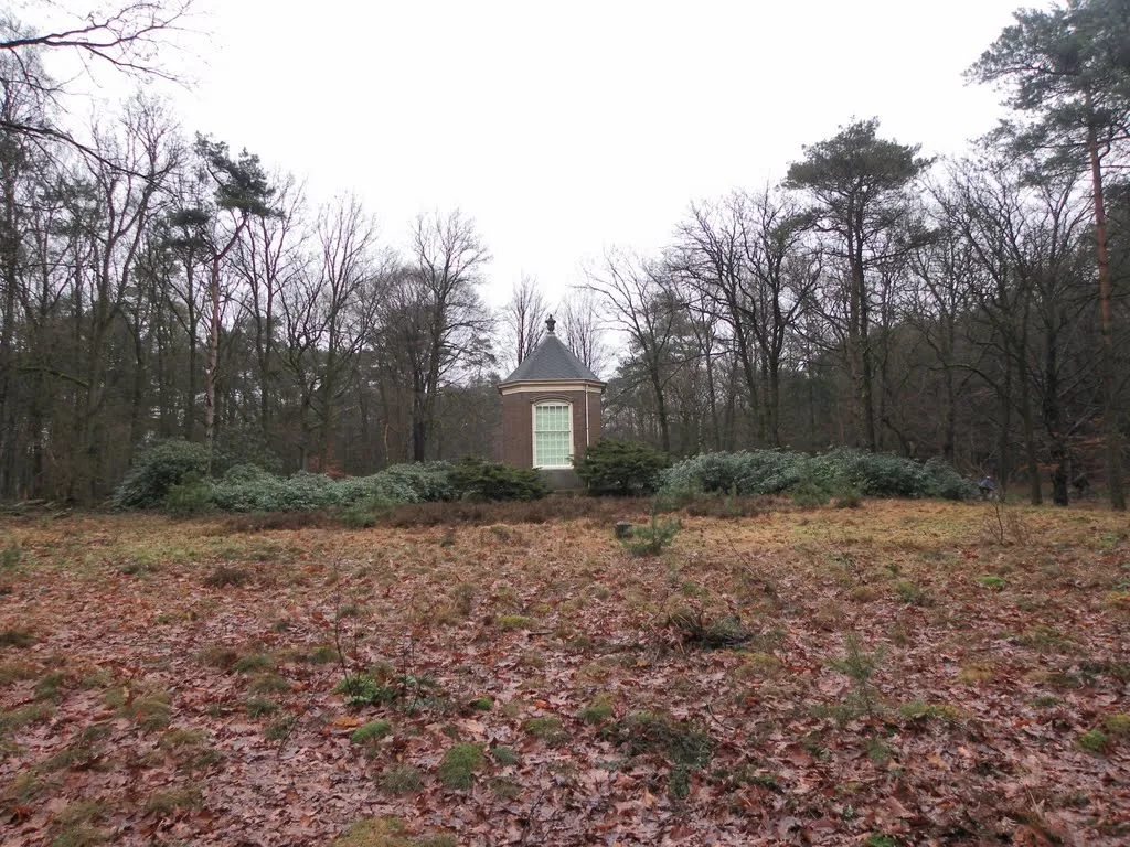 Darthuizerberg Mountain, Gemeente Utrechtse Heuvelrug7.7 km NW
-
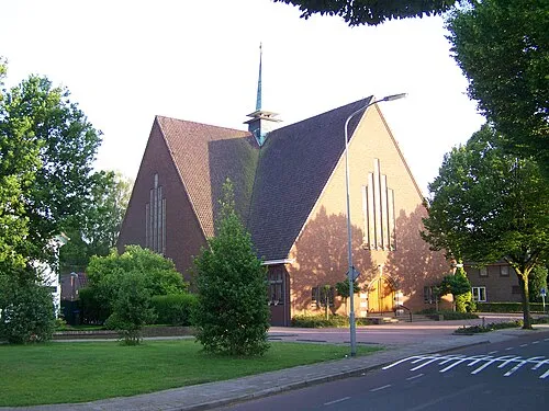 Nieuwe Kerk Attraction, Ede Municipality13 km NE
-
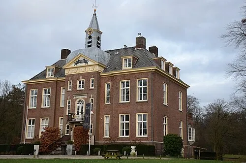 Hoekelum Historic site, Ede Municipality13 km E
Sources & licences
Data last updated: · 2 independent sources