Rhenen Municipality
Located in Utrecht, The Netherlands Coordinates: 51°57′41″ N 5°34′14″ E
- Population
- 20,203
- 20.2K
- Elevation
- 48 m
- above sea level
- Local time
- UTC+01:00
- Europe/Amsterdam · UTC+01:00
- Places inside
- 7
- listed under Rhenen Municipality
About Rhenen Municipality
Rhenen Municipality is a district. Location: Utrecht, The Netherlands. Population: 20,203.
In comparison
- 4 sights and natural places within 10 km Paasheuvel, Elsterberg
- Listed here: Village: 4, Mountain: 2, Town: 1
Places in Rhenen Municipality
7 places-
Rhenen Town18.1K
-
Achterberg Village750
-
Remmerden Village85
-
Elst Village
-
Elsterberg Mountain
-
Laareind Village
-
Paasheuvel Mountain
Nearby attractions & nature
Everything nearby-
Amerongsche Berg Mountain, Gemeente Utrechtse Heuvelrug8 km NW
-
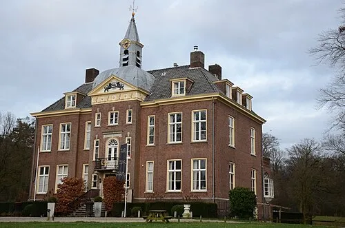 Hoekelum Historic site, Ede Municipality9.4 km NE
-
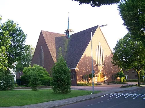 Nieuwe Kerk Attraction, Ede Municipality11 km NE
-
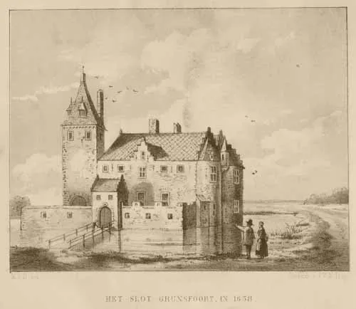 Kasteel Grunsfoort Historic site, Renkum Municipality10 km E
-
Drieberg Mountain, Ede Municipality13 km NE
-
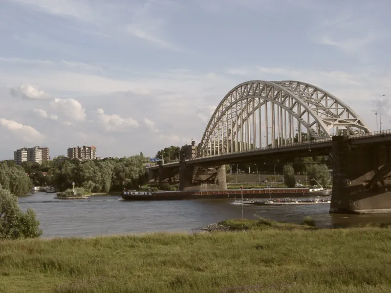 Waalbrug Landmark, Nijmegen Municipality24 km SE
Sources & licences
Data last updated: