Veenendaal Municipality
Local name: Veenendaal
Located in Utrecht, The Netherlands Coordinates: 52°01′29″ N 5°33′20″ E
- Population
- 65,589
- 65.6K
- Elevation
- 10 m
- above sea level
- Local time
- UTC+01:00
- Europe/Amsterdam · UTC+01:00
- Places inside
- 1
- listed under Veenendaal Municipality
About Veenendaal Municipality
Veenendaal Municipality is a district. Location: Utrecht, The Netherlands. Population: 65,589.
Veenendaal (Dutch pronunciation: [ˈveːnə(n)ˌdaːl] ) is a municipality and a town in central Netherlands, located in the province of Utrecht. Veenendaal is the only population centre within its administrative borders. The municipality had a population of 70,000 inhabitants on 8 August 2024 and covers an area of 19.72 km2 (7.61 sq mi).
Read more on Wikipedia Text: Wikipedia contributors · CC BY-SA 4.0 · shortened
At a glance
- Area
- 19.8 km²
Source: Wikidata
In comparison
- 6 sights and natural places within 10 km Elsterberg, Paasheuvel
Places in Veenendaal Municipality
1 place-
Veenendaal Town61.3K
Nearby attractions & nature
Everything nearby-
Elsterberg Mountain, Rhenen Municipality4.4 km SW
-
Paasheuvel Mountain, Rhenen Municipality4.8 km S
-
Amerongsche Berg Mountain, Gemeente Utrechtse Heuvelrug5.4 km W
-
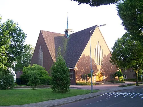 Nieuwe Kerk Attraction, Ede Municipality7.5 km E
-
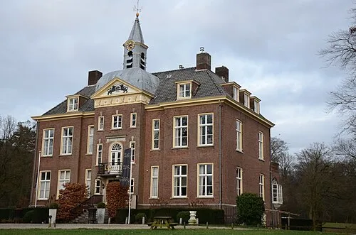 Hoekelum Historic site, Ede Municipality8.4 km E
-
Galgenberg Mountain, Ede Municipality9.2 km NE
Sources & licences
Data last updated: · 2 independent sources