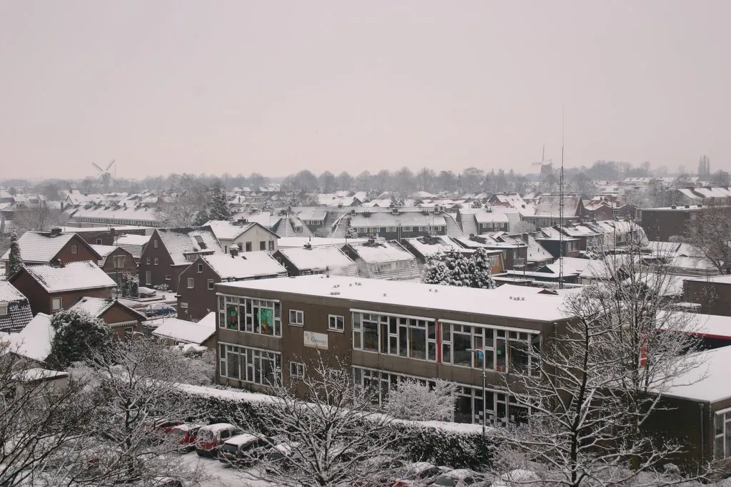
- Population
- 61,271
- 61.3K
- Elevation
- 8 m
- above sea level
- Local time
- UTC+01:00
- Europe/Amsterdam · UTC+01:00
- Airports
- NRN Weeze (Niederrhein) Airport62 km
- AMS Amsterdam Airport Schiphol63 km
About Veenendaal
Veenendaal is a town. Location: Veenendaal Municipality, Utrecht. Population: 61,271. Elevation: 8 m. The best months to visit are June–August. The nearest airport is Weeze (Niederrhein) Airport (62 km). Nearby sights include Elsterberg and Paasheuvel.
Photos of Veenendaal
-

Smiley.toerist · CC BY-SA 4.0 -

Roel Hemkes from Amersfoort, Netherlands · CC BY 2.0 -

Michielverbeek · CC BY-SA 4.0 -

Wim van Rossem for Anefo · CC0 -

Edoderoo · CC BY-SA 3.0


Travel notes for Veenendaal
From Wikivoyage
Veenendaal is a town in Utrecht, with around 63,000 inhabitants.
Get in+
By train:
If you're coming from Utrecht or Amsterdam you can take the Intercity train to Veenendaal-De Klomp (2x/hour). Alternatively, you can take a regional train (Sprinter) from Utrecht to Veenendaal Centrum (2-4x/hour), which is a 5-minute walk from the city centre.
If you're coming from the east (Arnhem or Nijmegen), the only good connection is the Intercity train to Veenendaal-De Klomp (2x/hour).
From Veenendaal-De Klomp bus route 80 or 81 will take you to the city centre in about 10 minutes (direction Wageningen/Driebergen-Zeist, bus stop 'Raadhuisstraat').
1 Veenendaal Centrum railway station. (updated May 2021)
2 Veenendaal West railway station. (updated May 2021)
3 Veenendaal-De Klomp railway station. (updated May 2021)
By car:
Veenendaal is easily reached by car from the A12 (Utrecht - Arnhem).
Source: Wikivoyage · CC BY-SA 4.0 · abridged
Climate of Veenendaal
Best months for sightseeingBest months for sightseeing: June–August.
This month · November
A cold month
Day 9° · Night 3° · Rain 80 mm
- Hottest month
- August (day 23°)
- Coldest month
- February (night 0°)
- Wettest month
- December (82 mm)
- Driest month
- April (48 mm)
Bars: average monthly low and high temperature. Below: precipitation. Monthly averages for 1970–2000 at about 18 km resolution, adjusted for elevation. Highlighted months are mild and relatively dry. Source: WorldClim 2.1 (CC BY 4.0).
Show values as a table
| Month | Jan | Feb | Mar | Apr | May | Jun | Jul | Aug | Sep | Oct | Nov | Dec |
|---|---|---|---|---|---|---|---|---|---|---|---|---|
| Average high (°C) | 5° | 6° | 10° | 13° | 18° | 20° | 22° | 23° | 19° | 14° | 9° | 6° |
| Average low (°C) | 0° | 0° | 2° | 3° | 8° | 10° | 12° | 12° | 9° | 6° | 3° | 1° |
| Precipitation (mm) | 73 | 53 | 70 | 48 | 62 | 74 | 69 | 61 | 73 | 72 | 80 | 82 |
How to get to Veenendaal
The nearest airport is Weeze (Niederrhein) Airport (NRN), 62 km to the southeast as the crow flies. The nearest large city is Amersfoort, 18 km to the northwest.
Airports
- Weeze (Niederrhein) Airport (NRN) Weeze 62 kmsoutheast
- Amsterdam Airport Schiphol (AMS) Amsterdam 63 kmnorthwest
- Eindhoven Airport (EIN) Eindhoven 66 kmsouth
Nearby large cities
- Amersfoort Population: 139.9K 18 kmnorthwest
- Arnhem Population: 162.4K 25 kmeast
- Nijmegen Population: 177.4K 29 kmsoutheast
- Utrecht Population: 376.4K 31 kmwest
- Apeldoorn Population: 136.7K 35 kmnortheast
Straight-line distances; road distances are longer. Airport data: OurAirports.
Day trips from Veenendaal
Within 100 km: 190 historic and cultural sites, 258 natural sites, 185 lakes, rivers and coasts.
0–25 km23 places
- Valenberg Mountain 14 kmE
- Struikberg Mountain 24 kmNE
- Steenenberg Mountain 10 kmNE
- Scheleberg Mountain 10 kmNE
25–60 km179 places
- Putjensberg Mountain 51 kmNE
- Wijlermeer Lake 36 kmSE
- Strang Lake 47 kmSE
- Eselsberg Mountain 54 kmSE
60–100 km431 places
- IJsselmonde Island 74 kmW
- Zandbergen Natural site 95 kmS
- Zeven-Heerlijkhedenheide Natural site 88 kmS
- Wegmeerheide Natural site 81 kmSW
Straight-line distances.
Veenendaal and similar cities
Side by side with cities of similar size in the same country: population, elevation and climate.
| Measure | Veenendaal | Assen | Lelystad | Middelburg |
|---|---|---|---|---|
| Population | 61.3K | 68.8K | 79.8K | 46.5K |
| Elevation | 8 m | 12 m | -1 m | 8 m |
| Summer day (hottest month) | 23° | 22° | 22° | 21° |
| Winter night (coldest month) | 0° | -1° | 1° | 1° |
| Annual rainfall | 817 mm | 829 mm | 803 mm | 757 mm |
| Best months | Jun–Aug | Jun–Aug | Jun–Aug | Jun–Aug |
| Distance | — | 127 km | 54 km | 147 km |
Climate values are 1970–2000 monthly averages; straight-line distance.
Nearby attractions & nature
Everything nearby-
Elsterberg Mountain, Rhenen Municipality4.9 km SW
-
Paasheuvel Mountain, Rhenen Municipality5.3 km S
-
Amerongsche Berg Mountain, Gemeente Utrechtse Heuvelrug5.7 km SW
-
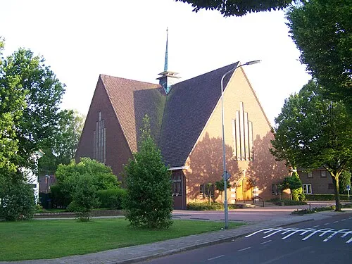 Nieuwe Kerk Attraction, Ede Municipality7.2 km E
-
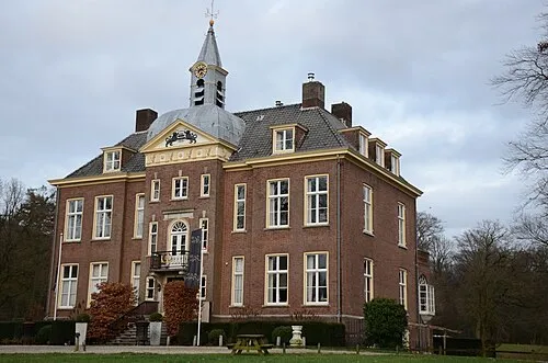 Hoekelum Historic site, Ede Municipality8.2 km E
-
Galgenberg Mountain, Ede Municipality8.7 km NE
-
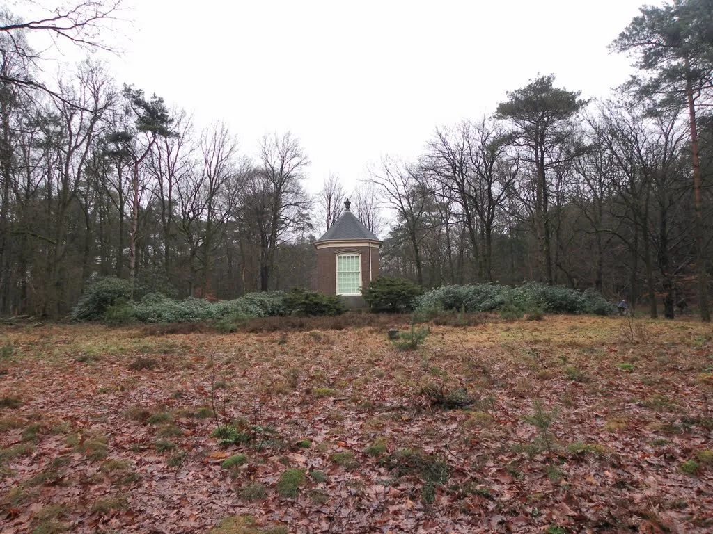 Darthuizerberg Mountain, Gemeente Utrechtse Heuvelrug10 km W
-
Drieberg Mountain, Ede Municipality10 km E
Sources & licences
Data last updated: