Amersfoort Municipality
Located in Utrecht, The Netherlands Coordinates: 52°10′25″ N 5°23′22″ E
- Population
- 156,286
- 156.3K
- Elevation
- 5 m
- above sea level
- Local time
- UTC+01:00
- Europe/Amsterdam · UTC+01:00
- Places inside
- 14
- listed under Amersfoort Municipality
About Amersfoort Municipality
Amersfoort Municipality is a district. Location: Utrecht, The Netherlands. Population: 156,286.
In comparison
- 5 sights and natural places within 10 km Police Custody Camp Amersfoort, DierenPark Amersfoort
- Listed here: Village: 5, Neighbourhood: 4, Attraction: 1, City: 1
Places in Amersfoort Municipality
14 places-
Amersfoort City139.9K
-
Hoogland Town10.6K
-
Randenbroek Neighbourhood7.1K
-
Langenoord Village1.7K
-
Zeldert Village365
-
Calveen Neighbourhood130
-
Coelhorst Village105
-
DierenPark Amersfoort Attraction
-
Galgenberg Mountain
-
Hooglanderveen Village
-
Nieuwland Neighbourhood
-
Police Custody Camp Amersfoort Historic site
-
Schothorst Neighbourhood
-
Zielhorst Village
Nearby attractions & nature
Everything nearby-
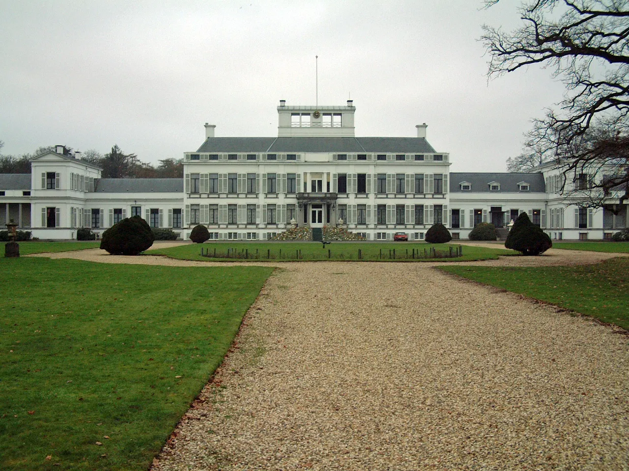 Soestdijk Palace Historic site, Baarn Municipality7.8 km W
-
De Soesterberg Mountain, Soest Municipality7.7 km SW
-
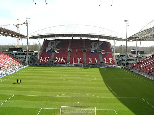 Stadion Galgenwaard Landmark, Gemeente Utrecht20 km SW
-
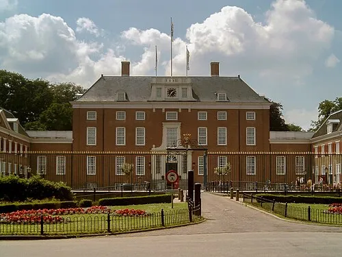 Slot Zeist Historic site, Gemeente Zeist15 km SW
-
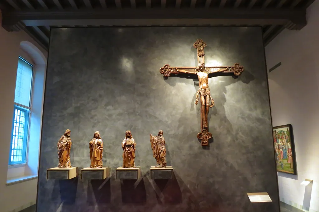 Museum Catharijneconvent Museum, Gemeente Utrecht21 km SW
-
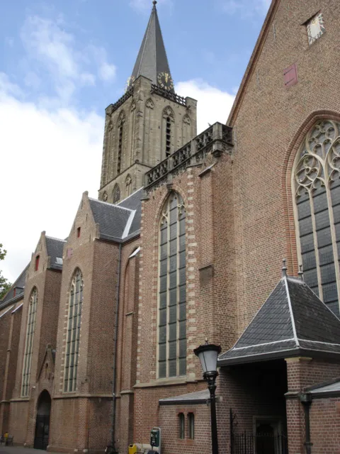 Jacobikerk Attraction, Gemeente Utrecht21 km SW
Sources & licences
Data last updated: