Police Custody Camp Amersfoort
Local name: Durchgangslager Amersfoort
Located in Amersfoort Municipality, Utrecht Coordinates: 52°09′22″ N 5°23′16″ E
- Local time
- UTC+01:00
- Europe/Amsterdam · UTC+01:00
- Elevation
- 5 m
- above sea level
- Airports
- AMS Amsterdam Airport Schiphol46 km
- RTM Rotterdam The Hague Airport69 km
About Police Custody Camp Amersfoort
Police Custody Camp Amersfoort is a historic site. Location: Amersfoort Municipality, Utrecht.
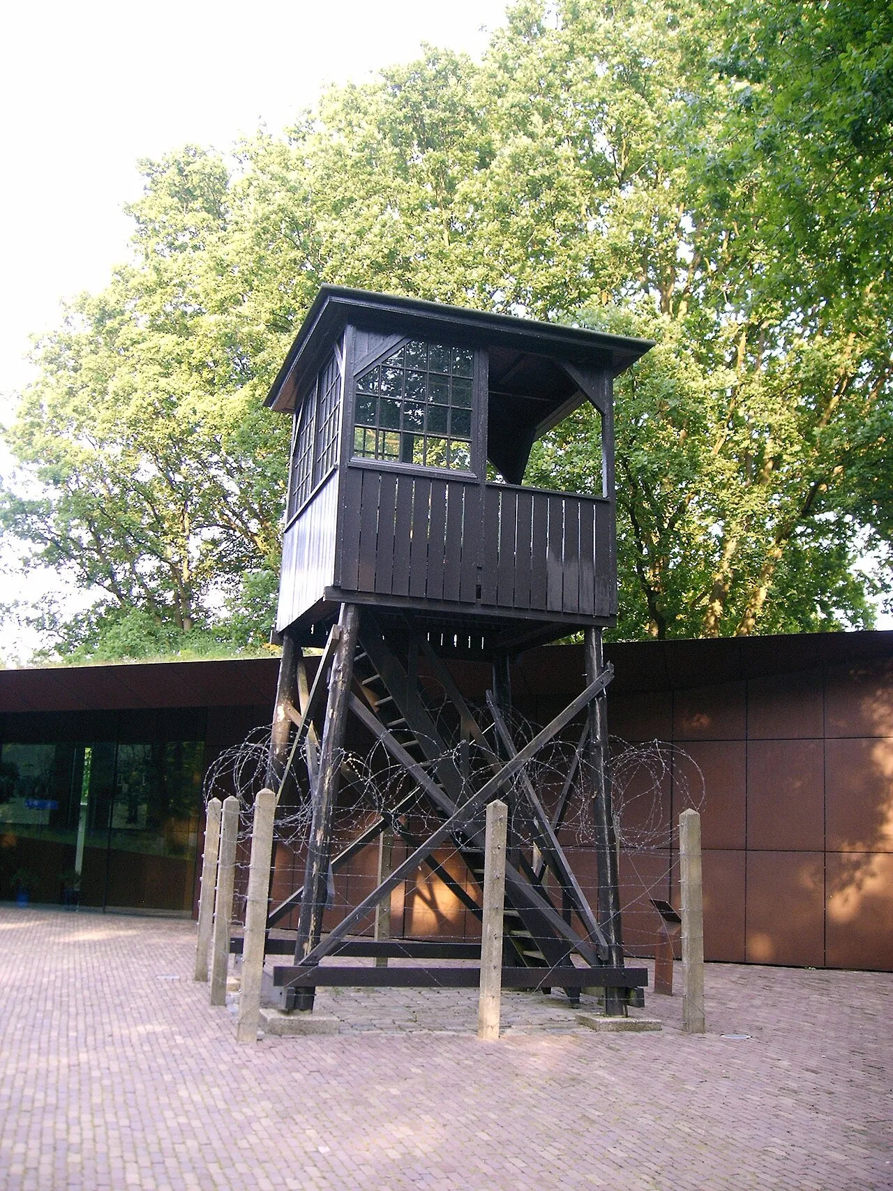
Kamp Amersfoort (Dutch: Kamp Amersfoort, German: Durchgangslager Amersfoort) was a Nazi concentration camp near the city of Amersfoort, the Netherlands. The official name was "Polizeiliches Durchgangslager Amersfoort", P.D.A. or Amersfoort Police Transit Camp. 47,000 prisoners were held there between 1941 and 1945. The camp was situated in the northern part of the municipality of Leusden, on the municipal boundary between Leusden and Amersfoort in the central Netherlands.
Source: Wikipedia · CC BY-SA 4.0
Photos of Police Custody Camp Amersfoort
-

RAF · Public domain -

Willem Nabuurs · CC BY-SA 4.0 -

Willem Nabuurs · CC BY-SA 4.0 -

HenkvD · CC BY-SA 4.0 -

Marja van Vulpen · CC BY-SA 3.0 nl


Climate of Police Custody Camp Amersfoort
Best months for sightseeingBest months for sightseeing: June–August.
This month · November
A cold month
Day 9° · Night 3° · Rain 84 mm
- Hottest month
- August (day 23°)
- Coldest month
- February (night 0°)
- Wettest month
- November (84 mm)
- Driest month
- April (48 mm)
Bars: average monthly low and high temperature. Below: precipitation. Monthly averages for 1970–2000 at about 18 km resolution, adjusted for elevation. Highlighted months are mild and relatively dry. Source: WorldClim 2.1 (CC BY 4.0).
Show values as a table
| Month | Jan | Feb | Mar | Apr | May | Jun | Jul | Aug | Sep | Oct | Nov | Dec |
|---|---|---|---|---|---|---|---|---|---|---|---|---|
| Average high (°C) | 5° | 6° | 10° | 13° | 18° | 20° | 22° | 23° | 19° | 14° | 9° | 6° |
| Average low (°C) | 0° | 0° | 2° | 3° | 8° | 10° | 12° | 12° | 10° | 6° | 3° | 1° |
| Precipitation (mm) | 75 | 54 | 71 | 48 | 63 | 73 | 73 | 63 | 74 | 75 | 84 | 83 |
How to get to Police Custody Camp Amersfoort
The nearest airport is Amsterdam Airport Schiphol (AMS), 46 km to the west as the crow flies. The nearest large city is Amersfoort, 1 km to the south.
Airports
- Amsterdam Airport Schiphol (AMS) Amsterdam 46 kmwest
- Rotterdam The Hague Airport (RTM) Rotterdam 69 kmwest
- Eindhoven Airport (EIN) Eindhoven 79 kmsouth
Nearby large cities
- Amersfoort Population: 139.9K 1 kmsouth
- Utrecht Population: 376.4K 20 kmwest
- Almere Stad Population: 176.4K 27 kmnorthwest
- Apeldoorn Population: 136.7K 40 kmeast
- Arnhem Population: 162.4K 41 kmsoutheast
Straight-line distances; road distances are longer. Airport data: OurAirports.
Day trips from Police Custody Camp Amersfoort
Within 100 km: 169 historic and cultural sites, 159 natural sites, 107 lakes, rivers and coasts.
0–25 km34 places
- Zwarte Berg Mountain 15 kmW
- Toverberg Mountain 23 kmNE
- Tonnenberg Mountain 25 kmNE
- Steenenberg Mountain 20 kmE
25–60 km154 places
- Putjensberg Mountain 49 kmNE
- Wijlermeer Lake 54 kmSE
- Wallwässerung River 60 kmSE
- Steinwässerung River 55 kmSE
60–100 km247 places
- IJsselmonde Island 68 kmSW
- Zeven-Heerlijkhedenheide Natural site 100 kmS
- Wegmeerheide Natural site 89 kmS
- Warandeheide Natural site 98 kmS
Straight-line distances.
Nearby attractions & nature
Everything nearby-
 DierenPark Amersfoort Attraction, Amersfoort Municipality3 km W
-
Galgenberg Mountain, Amersfoort Municipality2.3 km SW
-
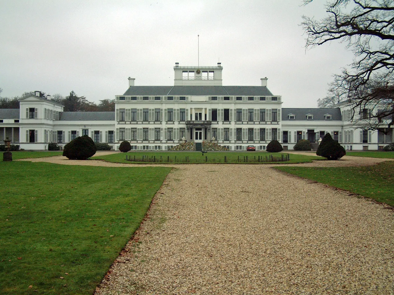 Soestdijk Palace Historic site, Baarn Municipality8.5 km NW
-
De Soesterberg Mountain, Soest Municipality6.6 km SW
-
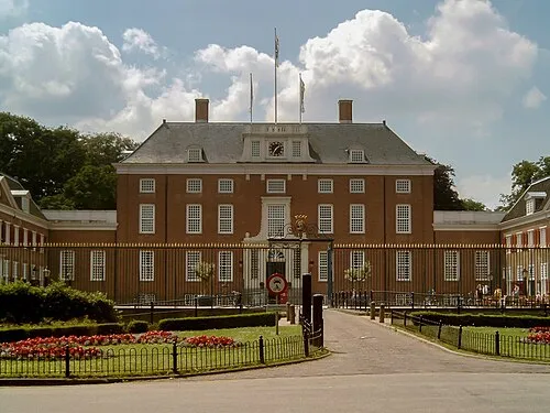 Slot Zeist Historic site, Gemeente Zeist14 km SW
-
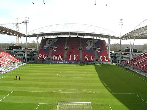 Stadion Galgenwaard Landmark, Gemeente Utrecht19 km SW
-
 Museum Catharijneconvent Museum, Gemeente Utrecht20 km SW
-
 Jacobikerk Attraction, Gemeente Utrecht20 km W
Nearest towns and villages
-
Amersfoort City, Amersfoort Municipality0.1 km S
-
Randenbroek Neighbourhood, Amersfoort Municipality1.2 km SE
-
Hoogland Town, Amersfoort Municipality3.1 km N
-
Leusden Town, Gemeente Leusden4 km SE
Sources & licences
Data last updated: · 2 independent sources