Soestduinen
Located in Soest Municipality, Utrecht Coordinates: 52°08′45″ N 5°18′00″ E
- Population
- 150
- 150
- Elevation
- 12 m
- above sea level
- Local time
- UTC+01:00
- Europe/Amsterdam · UTC+01:00
About Soestduinen
Soestduinen is a village. Location: Soest Municipality, Utrecht. Population: 150. Elevation: 12 m.
Soestduinen is a hamlet in the Dutch province of Utrecht. It is a part of the municipality of Soest, and lies about 3 km south of Soest. The hamlet was first mentioned in 1936 as Soestduinen, and means the dunes near Soest. The railway station Soestduinen existed between 1863 and 1998, and was called Soestduinen since 1922. The hamlet has always had place name signs, but since 2009, it reads Soest with Soestduinen underneath to emphasise that it is a hamlet belonging to Soest.
Read more on Wikipedia Text: Wikipedia contributors · CC BY-SA 4.0 · shortened
In comparison
- No. 7 of 9 places in Soest Municipality by population
- Nearest larger town: Hees, 3 km NW
- 6 sights and natural places within 10 km De Soesterberg, DierenPark Amersfoort
Nearby attractions & nature
Everything nearby-
De Soesterberg Mountain, Soest Municipality1.5 km S
-
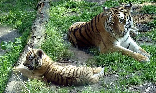 DierenPark Amersfoort Attraction, Amersfoort Municipality3.2 km E
-
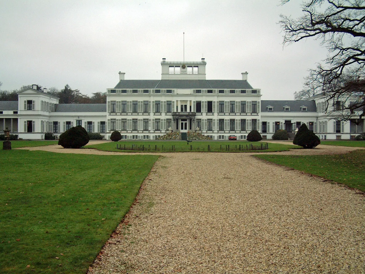 Soestdijk Palace Historic site, Baarn Municipality5.5 km N
-
Galgenberg Mountain, Amersfoort Municipality4.5 km E
-
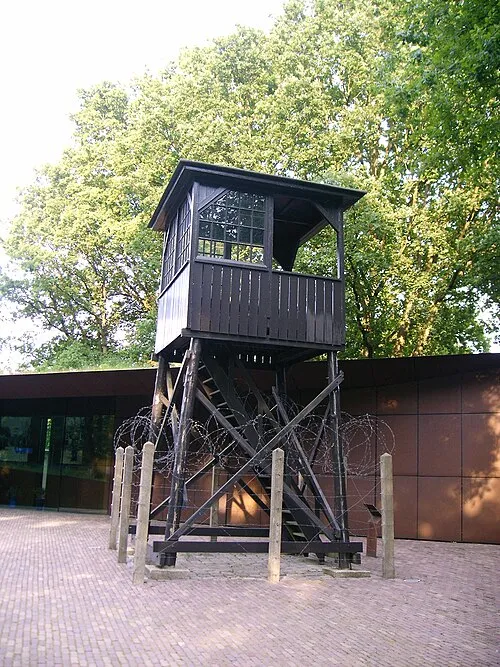 Police Custody Camp Amersfoort Historic site, Amersfoort Municipality6.1 km E
-
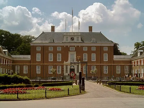 Slot Zeist Historic site, Gemeente Zeist8.7 km SW
Sources & licences
Data last updated: · 2 independent sources