Tienhoven
Located in Stichtse Vecht, Utrecht Coordinates: 52°09′54″ N 5°05′00″ E
- Elevation
- -1 m
- above sea level
- Local time
- UTC+01:00
- Europe/Amsterdam · UTC+01:00
About Tienhoven
Tienhoven is a village. Location: Stichtse Vecht, Utrecht. Elevation: -1 m.
Tienhoven is a village in the Dutch province of Utrecht. It is a part of the municipality of Stichtse Vecht, and lies about 7 km (4.3 mi) north of Utrecht. Tienhoven was a separate municipality until 1957, when it was merged with Maarssen. The village was first mentioned in 1243 as "decem mansorum sitorum in Marsenvene", and means "ten parcels of land (in the moorland of Maarssen)" which were sold by Herman van Maarssen to the chapter of Saint Peter.
Read more on Wikipedia Text: Wikipedia contributors · CC BY-SA 4.0 · shortened
In comparison
- Nearest larger town: Breukeleveen, 2 km NW
- 10 sights and natural places within 10 km Ruigenhoek Fort, Nieuwersluis Fort
Nearby attractions & nature
Everything nearby-
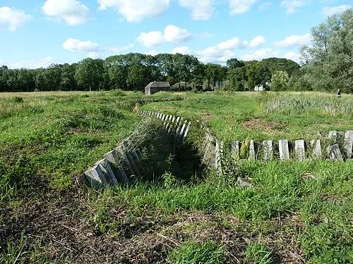 Ruigenhoek Fort Historic site, De Bilt Municipality5.1 km SE
-
 Jacobikerk Attraction, Gemeente Utrecht8.1 km S
-
 Museum Catharijneconvent Museum, Gemeente Utrecht9.1 km S
-
Hoorneboeg Mountain, Hilversum Municipality6.5 km NE
-
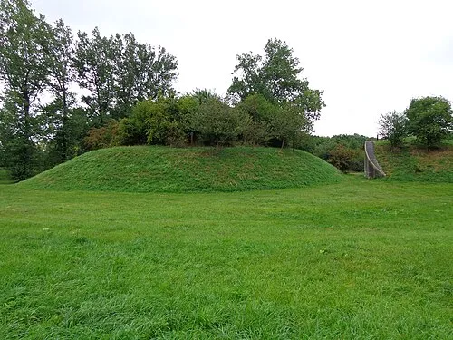 Nieuwersluis Fort Historic site, Stichtse Vecht6.5 km NW
-
Zwarte Berg Mountain, Hilversum Municipality6.6 km NE
Sources & licences
Data last updated: · 2 independent sources