Sarıkemer
Located in Söke İlçesi, Aydın Province Coordinates: 37°33′58″ N 27°21′51″ E
- Population
- 2,698
- 2.7K
- Elevation
- 5 m
- above sea level
- Local time
- UTC+03:00
- Europe/Istanbul · UTC+03:00
About Sarıkemer
Sarıkemer is a village. Location: Söke İlçesi, Aydın Province. Population: 2,698. Elevation: 5 m.
Sarıkemer is a neighbourhood of the municipality and district of Söke, Aydın Province, Turkey. Its population is 2,103 (2022). Before the 2013 reorganisation, it was a town (belde). It is situated in the alluvial plain of the Büyükmenderes River, known as the Maeander in antiquity, which flows within the town. Sarıkemer is 24 kilometres (15 mi) south of Söke and 75 kilometres (47 mi) southwest of Aydın. The main economic activity of the town is cotton farming.
Read more on Wikipedia Text: Wikipedia contributors · CC BY-SA 4.0 · shortened
In comparison
- No. 6 of 42 places in Söke İlçesi by population
- Nearest larger town: Yenidoğan, 17 km N
- 7 sights and natural places within 10 km Myos, Milet Harabeleri
Nearby attractions & nature
Everything nearby-
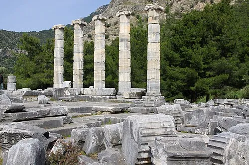 Priene Historic site, Söke İlçesi12 km NW
-
Myos Historic site, Söke İlçesi6.8 km NE
-
Milet Harabeleri Historic site, Didim8.5 km SW
-
Kızmezar Tepe Mountain, Söke İlçesi9.4 km NE
-
Miletos Historic site, Didim8.8 km SW
-
Faustina baths Historic site, Didim8.8 km SW
Sources & licences
Data last updated: · 2 independent sources