Karacahayıt
Located in Söke İlçesi, Aydın Province Coordinates: 37°36′00″ N 27°29′00″ E
- Population
- 558
- 558
- Elevation
- 17 m
- above sea level
- Local time
- UTC+03:00
- Europe/Istanbul · UTC+03:00
About Karacahayıt
Karacahayıt is a village. Location: Söke İlçesi, Aydın Province. Population: 558. Elevation: 17 m.
Karacahayıt is a neighbourhood in the municipality and district of Söke, Aydın Province, Turkey. Its population is 558 (2022).
Read more on Wikipedia Text: Wikipedia contributors · CC BY-SA 4.0 · shortened
In comparison
- No. 18 of 42 places in Söke İlçesi by population
- Nearest larger town: Serçin, 10 km SW
- 3 sights and natural places within 10 km Kızmezar Tepe, Myos
Nearby attractions & nature
Everything nearby-
Kızmezar Tepe Mountain, Söke İlçesi3.5 km NW
-
Myos Historic site, Söke İlçesi4.7 km W
-
Murtat Tepe Mountain, Milas6.9 km SE
-
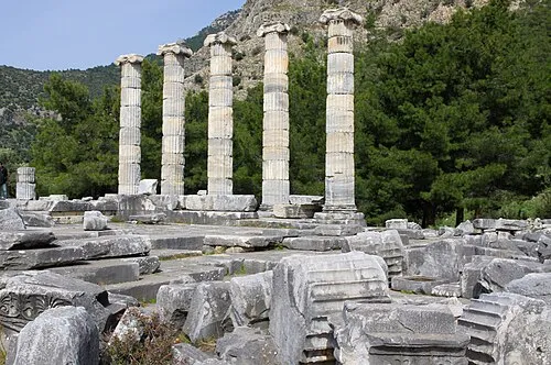 Priene Historic site, Söke İlçesi18 km W
-
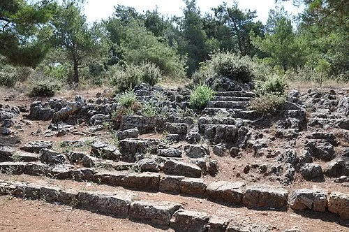 Panionium Historic site, Söke İlçesi18 km NW
-
Yukarı Dağ Mountain, Koçarlı İlçesi19 km SE
Sources & licences
Data last updated: · 2 independent sources