Bitlis Province
Local name: Bitlis ili
Located in Turkey Coordinates: 38°20′31″ N 42°23′29″ E
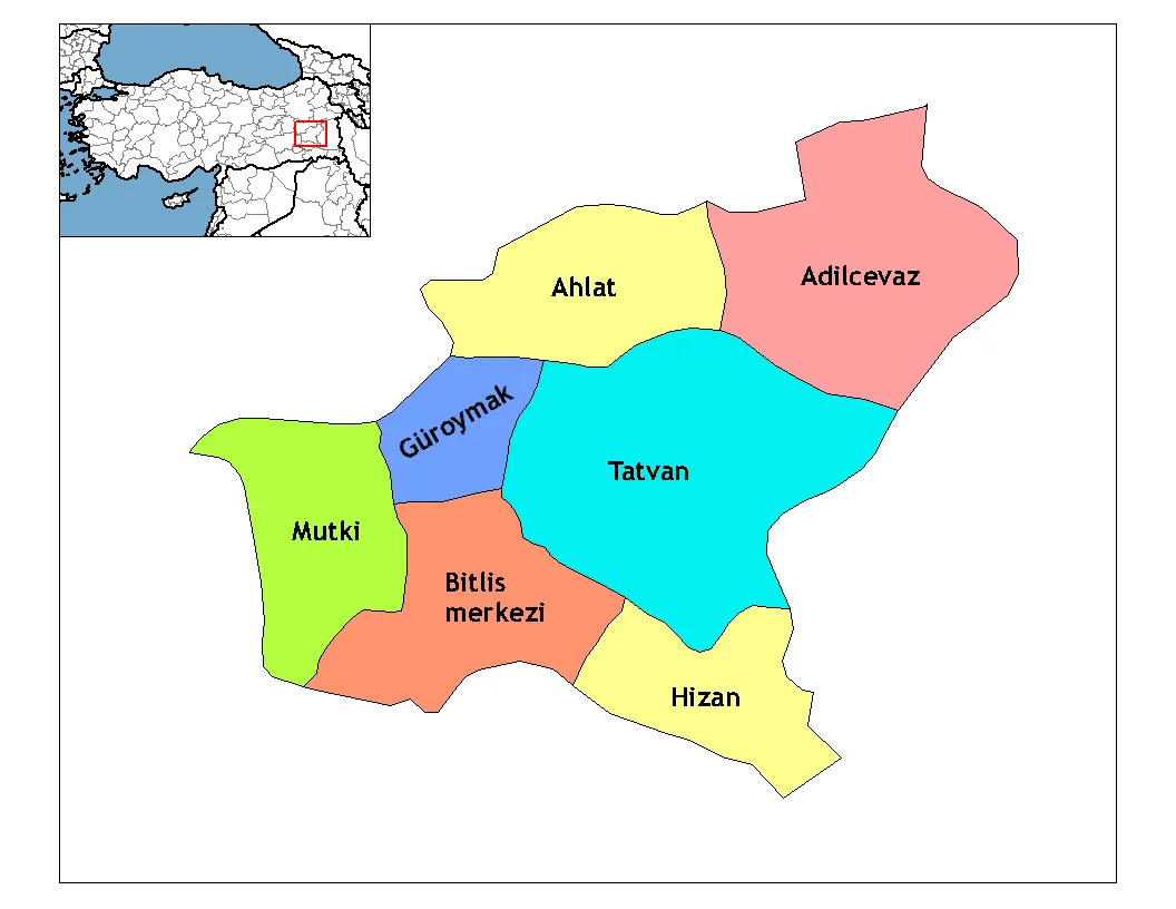
- Population
- 353,988
- 354K
- Elevation
- 2,084 m
- above sea level
- Local time
- UTC+03:00
- Europe/Istanbul · UTC+03:00
- Places inside
- 136
- listed under Bitlis Province
About Bitlis Province
Bitlis Province is a region. Location: Turkey. Population: 353,988.
Bitlis Province (Turkish: Bitlis ili; Armenian: Բաղեշի մարզ, romanized: Bagheshi marz; Kurdish: Parêzgeha Bidlîsê) is a province of eastern Turkey, located to the west of Lake Van. It takes its name from the central city, Bitlis. Its area is 8,294 km2, and its population is 353,988 (2022). The province was part of Moxoene of the Kingdom of Armenia. Before the Armenian genocide, the area was part of the Six Armenian Vilayets and considered part of Western Armenia by Armenians.
Read more on Wikipedia Text: Wikipedia contributors · CC BY-SA 4.0 · shortened
At a glance
- Area
- 10,582 km²
Source: Wikidata
In comparison
- 14 sights and natural places within 10 km Divrik Tepesi, Lolan Tepesi
- Listed here: River: 68, Natural site: 21, Municipality: 18, Mountain: 8
Places in Bitlis Province
136 places-
Sini Dağı Mountain
-
Şişer Tepe Mountain
-
Suçıkan Deresi River
-
Suvar Deresi River
-
Tabanözü Deresi River
-
Tatvan Bucağı Municipality
-
Tavşansuyu Pınarı Natural site
-
Tendürek Deresi River
-
Tosba Pınarı Natural site
-
Tusso Deresi River
-
Ulu Dere River
-
Urus Çay River
-
Yazlık Village
-
Yeniköprü Çayı River
-
Yeniköy Village
-
Yuvacık Deresi River
Largest cities and towns
Nature and heritage in Bitlis Province
-
Tırnakdağı Tepesi Mountain, Adilcevaz İlçesi
-
Petek Dağı Mountain, Hizan İlçesi
-
Panor Dağı Mountain, Hizan İlçesi
-
Kurukaval Tepe Mountain, Tatvan İlçesi
-
Kırmızıtaş Tepesi Mountain, Bitlis
-
Kırkşehit Tepe Mountain, Adilcevaz İlçesi
Other regions in Turkey
-
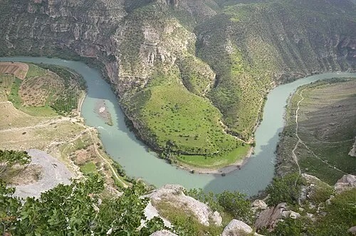 Siirt Province Region, Turkey58 km SW
-
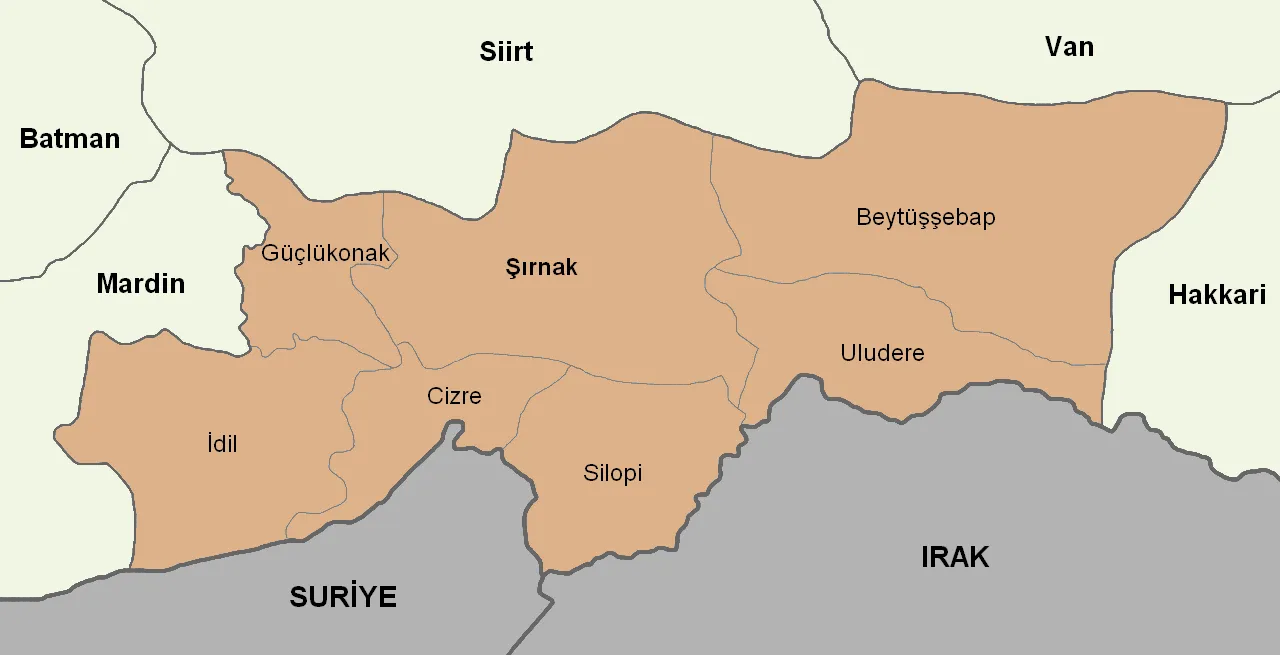 Şırnak Province Region, Turkey94 km S
-
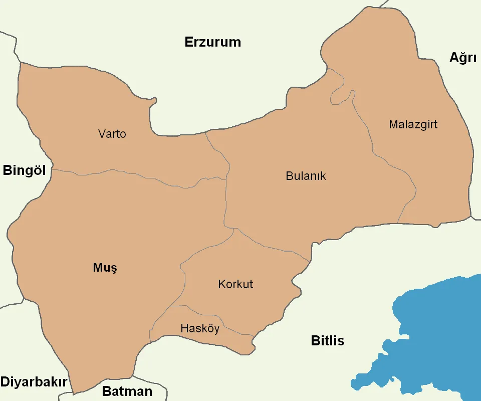 Muş Province Region, Turkey92 km NW
-
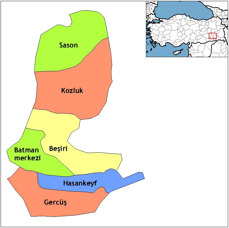 Batman Province Region, Turkey100 km W
-
Hizan İlçesi District, Bitlis Province13 km S
-
Tatvan İlçesi District, Bitlis Province19 km NW
Sources & licences
Data last updated: · 2 independent sources