Şırnak Province
Local name: Şırnak ili
Located in Turkey Coordinates: 37°30′00″ N 42°30′00″ E
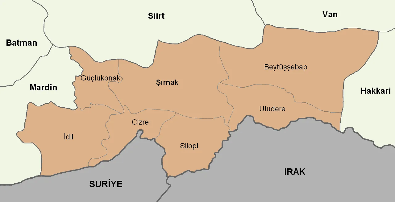
- Population
- 557,605
- 557.6K
- Elevation
- 1,379 m
- above sea level
- Local time
- UTC+03:00
- Europe/Istanbul · UTC+03:00
- Places inside
- 203
- listed under Şırnak Province
About Şırnak Province
Şırnak Province is a region. Location: Turkey. Population: 557,605.
Şırnak Province (Turkish: Şırnak ili, Kurdish: Parêzgeha Şirnex) is a province in Turkey in the Southeastern Anatolia Region. Şırnak Province was created in 1990, with areas that were formerly part of the Siirt, Hakkâri and Mardin Provinces. It borders both Kurdistan Region of Iraq and Syria. The current Governor of the province is Cevdet Atay. The province had a population of 570,745 in 2023. Its area is 7,078 km2. It encompasses 19 municipalities, 240 villages and 192 hamlets.
Read more on Wikipedia Text: Wikipedia contributors · CC BY-SA 4.0 · shortened
At a glance
- Built
- 1990
- Area
- 7,172 km²
Source: Wikidata
In comparison
- 14 sights and natural places within 10 km Çamaşır Pınarı, Chiyanellakh Urochishche
- Listed here: River: 116, Natural site: 37, Mountain: 22, Municipality: 10
Places in Şırnak Province
203 places-
Cizre İlçesi District130.9K
-
Silopi İlçesi District117.7K
-
İdil İlçesi District77.1K
-
Şırnak İlçesi District63.3K
-
Uludere İlçesi District46.7K
-
Beytüşşebap District16.1K
-
Güçlükonak İlçesi District11.7K
-
Acı Dere River
-
Afkamasya Deresi River
-
Ağıl Deresi River
-
Ağpınarı Natural site
-
Aksu Deresi River
-
Alem Dağı Mountain
-
Altın Dağları Mountain
-
Atarkin Deresi River
-
Avaslu Deresi River
-
Avmasori Deresi River
-
Avyar Deresi River
-
Aziz Dere River
-
Bahçe Deresi River
-
Baki Deresi River
-
Ballıkaya Deresi River
-
Bandikeseve Pınarı Natural site
-
Başköy Deresi River
-
Behrancı Deresi River
-
Bekir Pınarı Natural site
-
Berçiya Gölü Lake
-
Bere Deresi River
-
Beribeş Deresi River
-
Besin Kaynağı Natural site
-
Beş Pınarları Natural site
-
Besrabuluze Deresi River
-
Bestegebu Deresi River
-
Betonpınarı Natural site
-
Beyazgöl Dere River
-
Beytüşşebap Bucağı Municipality
-
Bezirhane Deresi River
-
Bilmat Deresi River
-
Binat Deresi River
-
Bincan Deresi River
-
Bişoka Deresi River
-
Bölek Village
-
Büyük Dere River
-
Büyük Pınar Natural site
-
Büyükrefikdüzü Tepesi Mountain
-
Çaçi Dağları Mountain
-
Çağlayan Deresi River
-
Çamaşır Pınarı Natural site
-
Çar Deresi River
-
Çayır Pınarı Natural site
-
Cehennem Deresi River
-
Celekuzege Tepesi Mountain
-
Cemibahri Deresi River
-
Çemişeyli Dere River
-
Çeşme Dere River
-
Çeşme Dere River
-
Cevizdüzü Deresi River
-
Çimen Pınarı Natural site
-
Cizre Bucağı Municipality
-
Çınar Kaynak Natural site
Largest cities and towns
Nature and heritage in Şırnak Province
-
Yeditepeler Dağı Mountain, Şırnak İlçesi
-
Üçpınar Dağı Mountain, Beytüşşebap
-
Topça Dağı Mountain, Şırnak İlçesi
-
Sini Dağı Mountain, Şırnak İlçesi
-
Gora Sasa Mountain, Uludere İlçesi
-
Sırmalı Dağ Mountain, Şırnak İlçesi
Other regions in Turkey
-
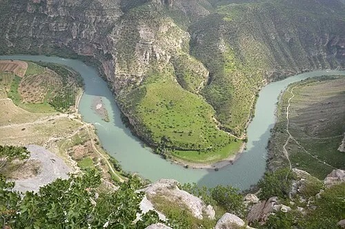 Siirt Province Region, Turkey71 km NW
-
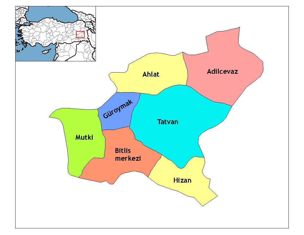 Bitlis Province Region, Turkey94 km N
-
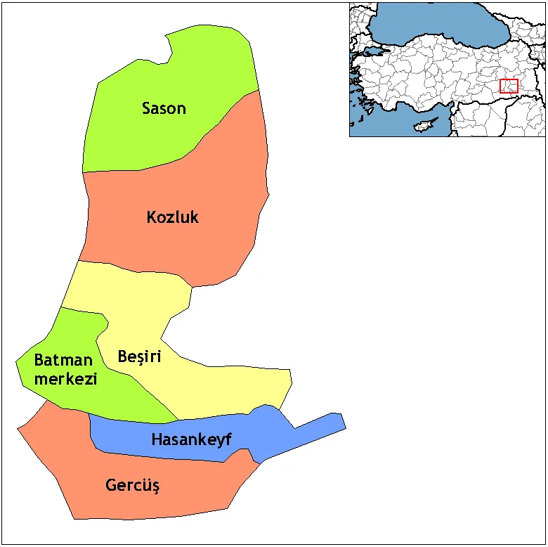 Batman Province Region, Turkey117 km NW
-
Eruh District District, Siirt Province40 km NW
-
Pervari İlçesi District, Siirt Province42 km N
-
Siirt Merkez District, Siirt Province70 km NW
Sources & licences
Data last updated: · 2 independent sources