Siirt Province
Local name: Siirt ili
Located in Turkey Coordinates: 37°57′41″ N 41°56′45″ E
- Population
- 331,311
- 331.3K
- Elevation
- 944 m
- above sea level
- Local time
- UTC+03:00
- Europe/Istanbul · UTC+03:00
- Places inside
- 209
- listed under Siirt Province
About Siirt Province
Siirt Province is a region. Location: Turkey. Population: 331,311.
Siirt Province, (Turkish: Siirt ili, Kurdish: Parêzgeha Sêrtê; is a province of Turkey, located in the southeast. The province borders Bitlis to the north, Batman to the west, Mardin to the southwest, Şırnak to the south, and Van to the east. Its area is 5,717 km2, and its population is 331,311 (2022). Its capital is Siirt. It encompasses 12 municipalities, 280 villages and 214 hamlets. The province is considered part of Turkish Kurdistan and has a Kurdish majority.
Read more on Wikipedia Text: Wikipedia contributors · CC BY-SA 4.0 · shortened
At a glance
- Area
- 6,182 km²
Source: Wikidata
In comparison
- 131 sights and natural places within 10 km Yıldırımtaşı Tepesi, Küp Tepesi
- Listed here: River: 103, Natural site: 57, Municipality: 15, Mountain: 12
Places in Siirt Province
209 places-
Siirt Merkez District160.3K
-
Kurtalan İlçesi District36.3K
-
Pervari İlçesi District33.5K
-
Baykan İlçesi District27.8K
-
Şirvan İlçesi District24K
-
Eruh District District19.9K
-
Tillo İlçesi District4K
-
Sugeldi Village383
-
Kayatepe Village250
-
Kurukavak Village193
-
Alakan Deresi River
-
Alikaplan Pınarı Natural site
-
Ancilik Deresi River
-
Andık Pınarı Natural site
-
Angüs Deresi River
-
Arapçınarı Deresi River
-
Avgira Deresi River
-
Avriş Deresi River
-
Aydınlar Bucağı Municipality
-
Aynbir Çeşmesi Natural site
-
Ayngevri Deresi River
-
Badik Pınar Natural site
-
Bağgöze Bucağı Municipality
-
Bağlıca Bucağı Municipality
-
Bahçe Deresi River
-
Bargı Dere River
-
Başören Çayı River
-
Bastokan Gölü Lake
-
Baykan Bucağı Municipality
-
Benemazen Deresi River
-
Bent Deresi River
-
Berha Deresi River
-
Beşlik Deresi River
-
Beşpınar Bucağı Municipality
-
Besri Deresi River
-
Besteberiker Deresi River
-
Besti Deresi River
-
Beyaz Çeşme Natural site
-
Bigiret Deresi River
-
Bimuç Pınarı Natural site
-
Birayo Pınarı Natural site
-
Birberroç Pınarı Natural site
-
Bistanşeyh Deresi River
-
Bitilo Çeşmesi Natural site
-
Bitlis Çayı River
-
Bizinka Village
-
Buhtom Deresi River
-
Bunlu Dere River
-
Büyük Çay River
-
Büyükkepı Dere River
-
Çadere River
-
Çalaş Village
-
Çatak Çayı River
-
Çatak Çayı River
-
Çay Deresi River
-
Cayir Pınar Natural site
-
Cemikari Deresi River
-
Cevizlik Bucağı Municipality
-
Çimenlik Tepesi Mountain
-
Cip Deresi River
Largest cities and towns
Nature and heritage in Siirt Province
-
Nar Tepesi Mountain, Pervari İlçesi
-
Kov Dağı Mountain, Şirvan İlçesi
-
Katı Dağı Mountain, Pervari İlçesi
-
Doğruyol Dağı Mountain, Şirvan İlçesi
-
Güneydilek Tepesi Mountain, Kurtalan İlçesi
-
Buğra Tepesi Mountain, Pervari İlçesi
Other regions in Turkey
-
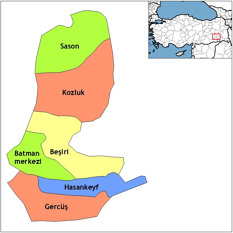 Batman Province Region, Turkey54 km W
-
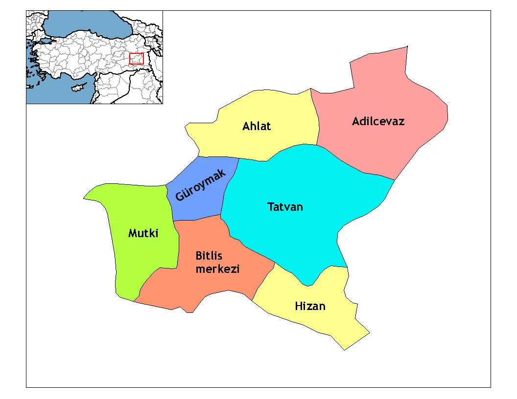 Bitlis Province Region, Turkey58 km NE
-
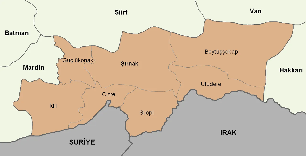 Şırnak Province Region, Turkey71 km SE
-
Bitlis District, Bitlis Province42 km N
-
Mutki İlçesi District, Bitlis Province50 km N
-
Beşiri İlçesi District, Batman Province50 km W
Sources & licences
Data last updated: · 2 independent sources