Siirt Province
Local name: Siirt ili
Located in Turkey Coordinates: 37°57′41″ N 41°56′45″ E
- Population
- 331,311
- 331.3K
- Elevation
- 944 m
- above sea level
- Local time
- UTC+03:00
- Europe/Istanbul · UTC+03:00
- Places inside
- 209
- listed under Siirt Province
About Siirt Province
Siirt Province is a region. Location: Turkey. Population: 331,311.
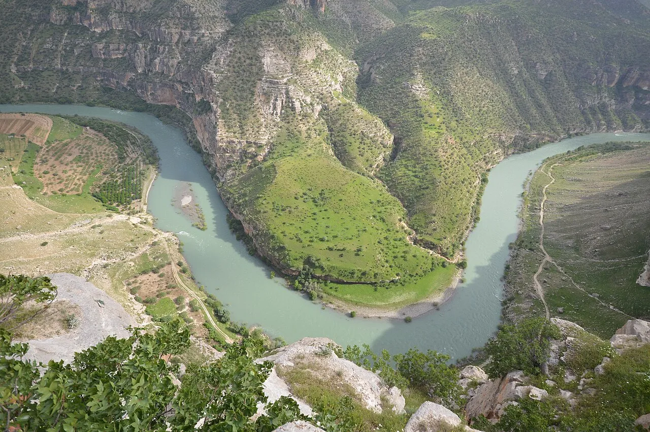
Siirt Province, (Turkish: Siirt ili, Kurdish: Parêzgeha Sêrtê; is a province of Turkey, located in the southeast. The province borders Bitlis to the north, Batman to the west, Mardin to the southwest, Şırnak to the south, and Van to the east. Its area is 5,717 km2, and its population is 331,311 (2022). Its capital is Siirt. It encompasses 12 municipalities, 280 villages and 214 hamlets. The province is considered part of Turkish Kurdistan and has a Kurdish majority.
Read more on Wikipedia Text: Wikipedia contributors · CC BY-SA 4.0 · shortened
At a glance
- Area
- 6,182 km²
Source: Wikidata
In comparison
- 131 sights and natural places within 10 km Yıldırımtaşı Tepesi, Küp Tepesi
- Listed here: River: 103, Natural site: 57, Municipality: 15, Mountain: 12
Places in Siirt Province
209 places-
Dampa Deresi River
-
Dede Pınar Natural site
-
Değirmen Dere River
-
Değirmen Deresi River
-
Derinkapı Deresi River
-
Derok Pınarı Natural site
-
Deryeşkeri Deresi River
-
Dilektepe Bucağı Municipality
-
Dırav Deresi River
-
Doğanca Bucağı Municipality
-
Dohik Deresi River
-
Dorok Pınarı Natural site
-
Doyumlu Village
-
Dul Deresi River
-
Dut Çeşme Natural site
-
Elmapınar Deresi River
-
Erdon Pınarı Natural site
-
Eruh Bucağı Municipality
-
Eva Pınarı Natural site
-
Fakir Deresi River
-
Fik Deresi River
-
Gaıkiro Pınarı Natural site
-
Ganibirinca Pınarı Natural site
-
Ganileşk Pınarı Natural site
-
Gehaşin Boğazı Natural site
-
Geniyekehoka Pınarı Natural site
-
Giran Village
-
Giregiviş Pınarı Natural site
-
Git Deresi River
-
Gökçe Dağları Mountain
-
Gökçesu Çayı River
-
Güher Deresi River
-
Gusır Gölü Lake
-
Güvercin Deresi River
-
Haciosman Pınarı Natural site
-
Hamido Deresi River
-
Hasteri Mountains Mountain
-
Heşal Pınarı Natural site
-
Kabristan Dağı Mountain
-
Kanicano Çeşmesi Natural site
-
Kaniharip Pinari Natural site
-
Kani Tepesi Mountain
-
Kanyacer Pınarı Natural site
-
Kapılı Dere River
-
Kara Dere River
-
Kasaba Deresi River
-
Kasili River
-
Kavacık Dere River
-
Kavaközü Deresi River
-
Kavuşşahap Dağları Mountain
-
Kayalıkçeşmepınarı Natural site
-
Keklik Pınar Natural site
-
Kel Dere River
-
Kerhan Deresi River
-
Kernenezir Village
-
Kestane Tepesi Mountain
-
Kevrisoı Deresi River
-
Kilis Deresi River
-
Kimyanis Deresi River
-
Kiriran Deresi River
Largest cities and towns
Nature and heritage in Siirt Province
-
Nar Tepesi Mountain, Pervari İlçesi
-
Kov Dağı Mountain, Şirvan İlçesi
-
Katı Dağı Mountain, Pervari İlçesi
-
Doğruyol Dağı Mountain, Şirvan İlçesi
-
Güneydilek Tepesi Mountain, Kurtalan İlçesi
-
Buğra Tepesi Mountain, Pervari İlçesi
Other regions in Turkey
-
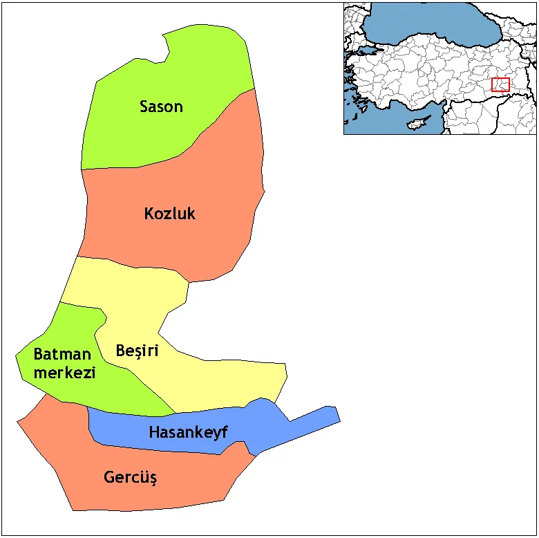 Batman Province Region, Turkey54 km W
-
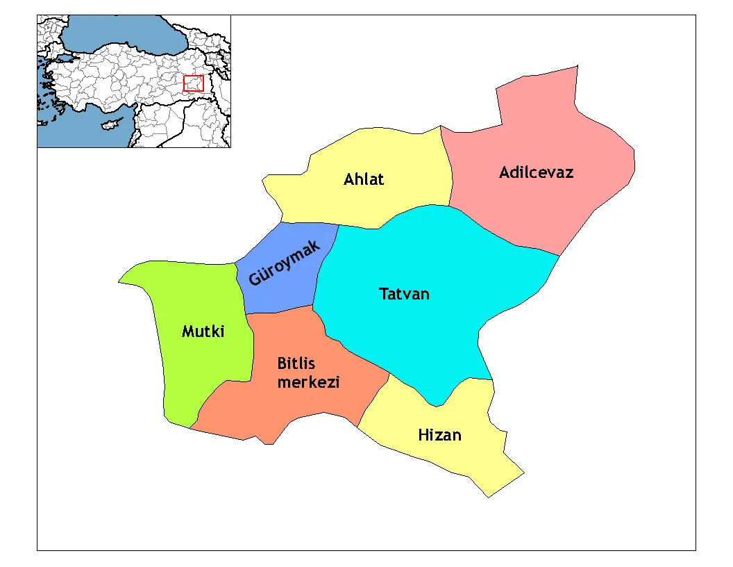 Bitlis Province Region, Turkey58 km NE
-
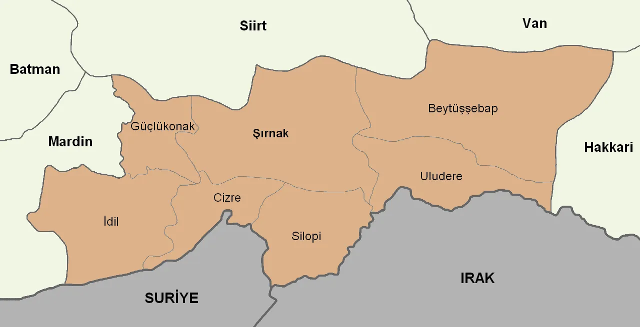 Şırnak Province Region, Turkey71 km SE
-
Siirt Merkez District, Siirt Province5.3 km SW
-
Tillo İlçesi District, Siirt Province5.9 km E
-
Şirvan İlçesi District, Siirt Province13 km NE
Sources & licences
Data last updated: · 2 independent sources