Siirt Province
Local name: Siirt ili
Located in Turkey Coordinates: 37°57′41″ N 41°56′45″ E
- Population
- 331,311
- 331.3K
- Elevation
- 944 m
- above sea level
- Local time
- UTC+03:00
- Europe/Istanbul · UTC+03:00
- Places inside
- 209
- listed under Siirt Province
About Siirt Province
Siirt Province is a region. Location: Turkey. Population: 331,311.
Siirt Province, (Turkish: Siirt ili, Kurdish: Parêzgeha Sêrtê; is a province of Turkey, located in the southeast. The province borders Bitlis to the north, Batman to the west, Mardin to the southwest, Şırnak to the south, and Van to the east. Its area is 5,717 km2, and its population is 331,311 (2022). Its capital is Siirt. It encompasses 12 municipalities, 280 villages and 214 hamlets. The province is considered part of Turkish Kurdistan and has a Kurdish majority.
Read more on Wikipedia Text: Wikipedia contributors · CC BY-SA 4.0 · shortened
At a glance
- Area
- 6,182 km²
Source: Wikidata
In comparison
- 131 sights and natural places within 10 km Yıldırımtaşı Tepesi, Küp Tepesi
- Listed here: River: 103, Natural site: 57, Municipality: 15, Mountain: 12
Places in Siirt Province
209 places-
Kişipaşa Deresi River
-
Kır Deresi River
-
Kırmızı Çeşme Natural site
-
Kırmızı Dere River
-
Kırmızı Pınar Natural site
-
Koca Çay River
-
Korulu Village
-
Kosi Pınari Natural site
-
Kulavaçayı Deresi River
-
Külindir Pınarı Natural site
-
Küran Dağı Mountain
-
Kureş Deresi River
-
Kurtalan Bucağı Municipality
-
Kuru Çeşmesi Natural site
-
Kuruka Dere River
-
Kuvare Deresi River
-
Liçik Pınarı Natural site
-
Litat Deresi River
-
Mabarazo Deresi River
-
Maharakeri Tepesi Mountain
-
Mansur Deresi River
-
Mehmot Pınarı Natural site
-
Mesitirika Deresi River
-
Millaha Pınarı Natural site
-
Mircit Pınarı Natural site
-
Mirk Pınarı Natural site
-
Muh Kaynağı Natural site
-
Müküs Çayı River
-
Narlı Village
-
Narlı Bucağı Municipality
-
Nazlı Pınar Natural site
-
Nergızı Pınar Natural site
-
Oatamas Pınarı Natural site
-
Okçular Deresi River
-
Örensu Village
-
Ozero Zervin Lake
-
Özpınar Bucağı Municipality
-
Paşa Çeşmesi Natural site
-
Pervari Bucağı Municipality
-
Piran Pınarı Natural site
-
Pirinç Pınarı Natural site
-
Pınarca Çayı River
-
Razuke Dere River
-
Ricıl Deresi River
-
Rikini Deresi River
-
Sağlık Dağı Mountain
-
Salbo Pınarı Natural site
-
Salep Pınarı Natural site
-
Sarnıç Deresi River
-
Seksen Dere River
-
Serkehnirosuyu River
-
Şeyhdeğirmeni Deresi River
-
Şeyhibrahim Pınarı Natural site
-
Siirtari Gölü Lake
-
Silut Sarnıcı Natural site
-
Sinebel Deresi River
-
Sipile Deresi River
-
Sirife Deresi River
-
Şirvan Bucağı Municipality
-
Sito Pınarı River
Largest cities and towns
Nature and heritage in Siirt Province
-
Nar Tepesi Mountain, Pervari İlçesi
-
Kov Dağı Mountain, Şirvan İlçesi
-
Katı Dağı Mountain, Pervari İlçesi
-
Doğruyol Dağı Mountain, Şirvan İlçesi
-
Güneydilek Tepesi Mountain, Kurtalan İlçesi
-
Buğra Tepesi Mountain, Pervari İlçesi
Other regions in Turkey
-
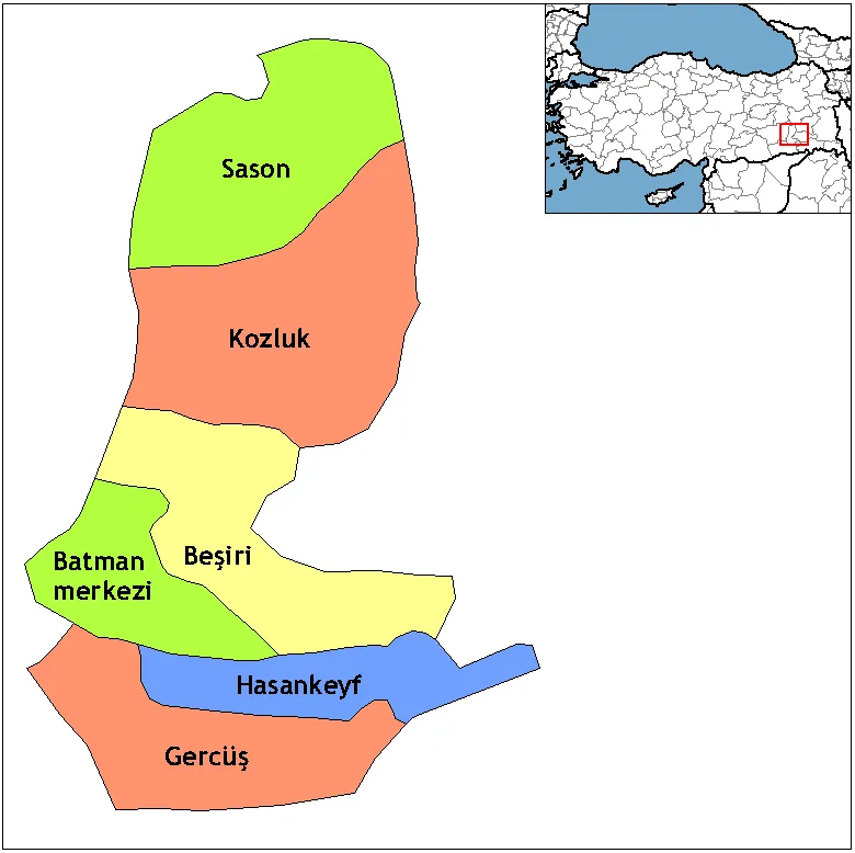 Batman Province Region, Turkey54 km W
-
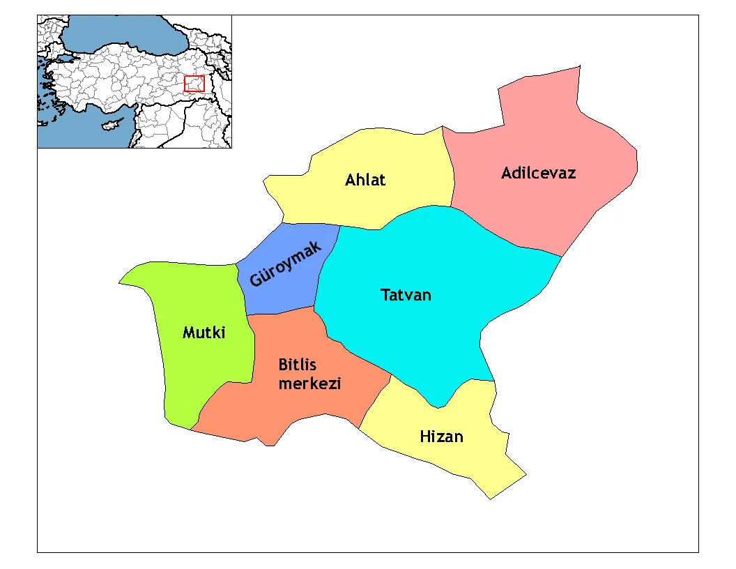 Bitlis Province Region, Turkey58 km NE
-
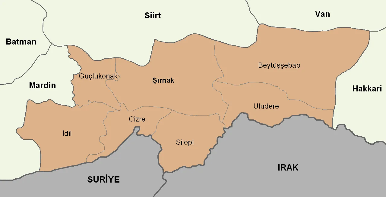 Şırnak Province Region, Turkey71 km SE
-
Siirt Merkez District, Siirt Province5.3 km SW
-
Tillo İlçesi District, Siirt Province5.9 km E
-
Şirvan İlçesi District, Siirt Province13 km NE
Sources & licences
Data last updated: · 2 independent sources