Erzurum Province
Local name: Erzurum ili
Located in Turkey Coordinates: 40°00′00″ N 41°30′00″ E
- Population
- 749,754
- 749.8K
- Elevation
- 1,778 m
- above sea level
- Local time
- UTC+03:00
- Europe/Istanbul · UTC+03:00
- Places inside
- 296
- listed under Erzurum Province
About Erzurum Province
Erzurum Province is a region. Location: Turkey. Population: 749,754.
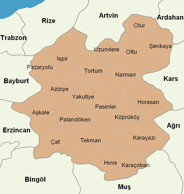
Erzurum Province (Turkish: Erzurum ili) is a province and metropolitan municipality in the Eastern Anatolia Region of Turkey. Its area is 25,006 km2, and its population is 749,754 (2022). The capital of the province is the city of Erzurum. It is the fourth largest province in all of Turkey. It is bordered by the provinces of Kars and Ağrı to the east, Muş and Bingöl to the south, Erzincan and Bayburt to the west, Rize and Artvin to the north and Ardahan to the northeast.
Read more on Wikipedia Text: Wikipedia contributors · CC BY-SA 4.0 · shortened
At a glance
- Area
- 25,355 km²
Source: Wikidata
In comparison
- 4 sights and natural places within 10 km Baba Tepe, Çay Deresi
- Listed here: River: 197, Municipality: 41, Mountain: 21, District: 20
Places in Erzurum Province
296 places-
Erzurum City767.8K
-
Yakutiye District182.2K
-
Palandöken District161.5K
-
Aziziye District51K
-
Horasan İlçesi District42.4K
-
Karayazı İlçesi District31.7K
-
Pasinler İlçesi District31.6K
-
Oltu İlçesi District31.3K
-
Hınıs İlçesi District29.2K
-
Tekman İlçesi District28.8K
-
Karaçoban İlçesi District25K
-
Aşkale İlçesi District24.3K
-
Şenkaya İlçesi District20.8K
-
Çat İlçesi District19.2K
-
Tortum İlçesi District18.8K
-
Köprüköy İlçesi District17.7K
-
İspir İlçesi District16.2K
-
Narman İlçesi District15.3K
-
Uzundere İlçesi District8.3K
-
Olur İlçesi District7.2K
-
Pazaryolu İlçesi District4.2K
-
Acemoğlu Tepesi Mountain
-
Ada Deresi River
-
Ağılın Pınarı Natural site
-
Ahirçimen Çayı River
-
Ahlatlı Dere River
-
Akdağları Mountain
-
Akşar Bucağı Municipality
-
Aksu Deresi River
-
Aktakan Dere River
-
Aktaş Deresi River
-
Alabalık Deresi River
-
Alabalık Deresi River
-
Alacasu Deresi River
-
Allahuekber Tepesi Mountain
-
Ana Dere River
-
Anurı Deresi River
-
Arabakırığı Deresi River
-
Aracoclar Deresi River
-
Aras Bucağı Municipality
-
Armutlu Deresi River
-
Armutlu Deresi River
-
Aşkale Bucağı Municipality
-
Avdere River
-
Ayı Deresi River
-
Ayvazoğlu Deresi River
-
Bağırsak Deresi River
-
Balıkçı Deresi River
-
Bardız Çayı River
-
Baş Çayı River
-
Başkale Çayı River
-
Başköy Çayı River
-
Bayat Deresi River
-
Bayrambey Deresi River
-
Bayramlı Village
-
Bingöl Dağları Mountain
-
Boğazoğlu Deresi River
-
Boz Çay River
-
Bulanık Dere River
-
Büyük Çay River
Largest cities and towns
Nature and heritage in Erzurum Province
-
Ziyaret Tepesi Mountain, Aziziye
-
Yıldırım Dağı Mountain, Palandöken
-
Ulya Tepesi Mountain, Aziziye
-
Turnagöl Dağı Mountain, Aziziye
-
Topçu Dağı Mountain, Köprüköy İlçesi
-
Tahtab Dağı Mountain, Hınıs İlçesi
Other regions in Turkey
-
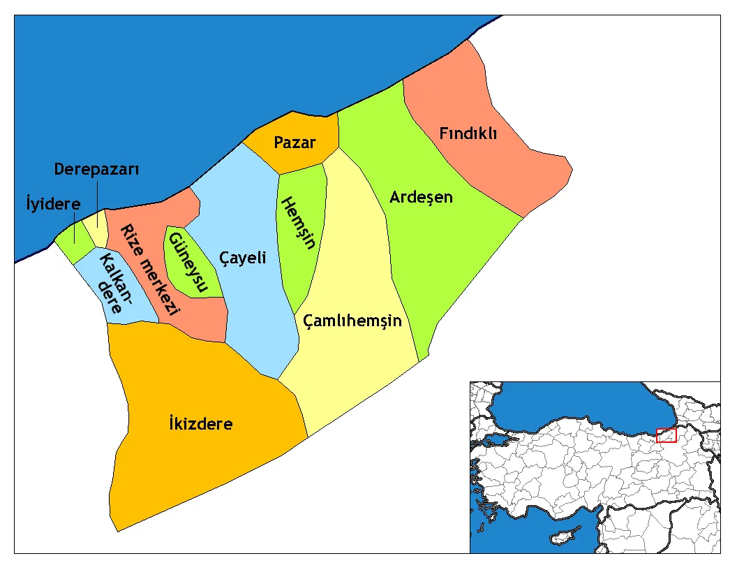 Rize Province Region, Turkey113 km NW
-
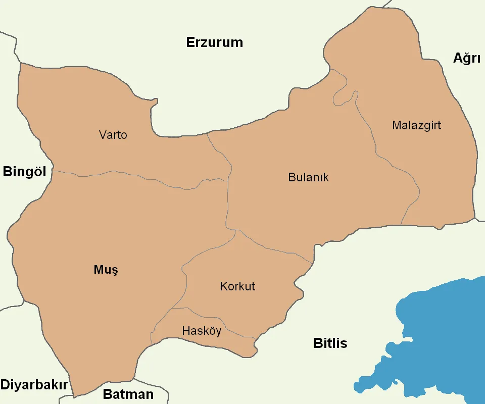 Muş Province Region, Turkey113 km S
-
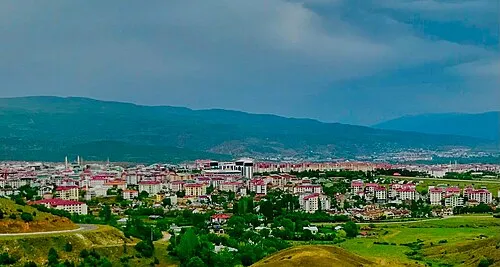 Bingöl Province Region, Turkey117 km SW
-
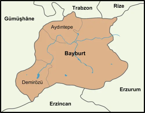 Bayburt Province Region, Turkey112 km W
Sources & licences
Data last updated: · 2 independent sources