Karasu - Aras Dağları
Located in Erzurum Province, Turkey Coordinates: 39°49′59″ N 41°18′09″ E
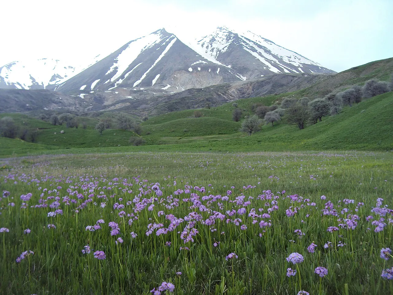
- Elevation
- 3,153 m
- above sea level
- Local time
- UTC+03:00
- Europe/Istanbul · UTC+03:00
About Karasu - Aras Dağları
Karasu - Aras Dağları is a mountain. Location: Erzurum Province, Turkey. Elevation: 3,153 m.
Aras Mountains (Turkish: Aras Dağları), is a mountain range in northeastern Turkey. Also known as Haykakan Par (Armenian: Հայկական Պար). It is located on the border of Erzurum, Kars, Ağrı and Iğdır provinces. It is a ridge at the middle of the Armenian highlands. It starts near sources of the Araxes river and stretches from the south bank as far west as Mount Ararat. The length of the ridge 200 km, the height - up to 3445 m. It was formed by a chain of volcanoes that arose along a major tectonic fault.
Read more on Wikipedia Text: Wikipedia contributors · CC BY-SA 4.0 · shortened
In comparison
- No. 135 of 12182 mountains in Turkey by elevation
- 10 sights and natural places within 10 km Büyükejder Tepesi, Yıldırım Dağı
Nearest towns and villages
-
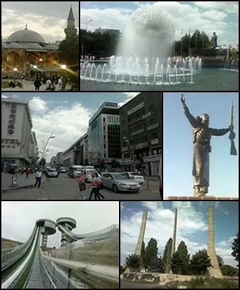 Erzurum City, Erzurum Province8.7 km N
-
Palandöken Bucağı Municipality, Erzurum Province6.5 km N
-
Yakutiye Bucağı Municipality, Erzurum Province7.8 km N
-
Palandöken City, Palandöken6.5 km N
-
Aziziye Village, Palandöken7.5 km SE
-
Yakutiye City, Palandöken7.8 km N
Nearby attractions & nature
Everything nearby-
Büyükejder Tepesi Mountain, Palandöken<0.1 km N
-
Yıldırım Dağı Mountain, Palandöken1.2 km E
-
Sultanseki Tepesi Mountain, Palandöken3.5 km NW
-
Eğerli Dağı Mountain, Palandöken5.4 km W
-
Eğerlidağ Tepesi Mountain, Palandöken5.3 km W
-
Palandöken Dağları Mountain, Erzurum Province7.1 km SW
-
Molla Tepesi Mountain, Tekman İlçesi9.1 km SE
-
Top Tepe Mountain, Tekman İlçesi9.5 km S
Sources & licences
Data last updated: · 2 independent sources