Hakkâri Province
Local name: Hakkâri ili
Located in Turkey Coordinates: 37°35′00″ N 44°10′00″ E
- Population
- 282,191
- 282.2K
- Elevation
- 1,856 m
- above sea level
- Local time
- UTC+03:00
- Europe/Istanbul · UTC+03:00
- Places inside
- 167
- listed under Hakkâri Province
About Hakkâri Province
Hakkâri Province is a region. Location: Turkey. Population: 282,191.
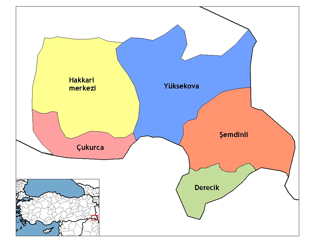
Hakkâri Province (pronounced [hacːaːɾi], Turkish: Hakkâri ili; Kurdish: Parêzgeha Colemêrg), is a province in the southeast of Turkey. It borders Van Province to the north, and Şırnak Province to the west. The administrative centre is the city of Hakkâri. Its area is 7,095 km2, and its population is 287,625 (2023). The current Governor is Ali Çelik. The province encompasses 8 municipalities, 140 villages and 313 hamlets. The province is considered part of Turkish Kurdistan and has a Kurdish majority.
Read more on Wikipedia Text: Wikipedia contributors · CC BY-SA 4.0 · shortened
At a glance
- Area
- 9,521 km²
Source: Wikidata
In comparison
- 16 sights and natural places within 10 km Nehil Çayı, Aviş Deresi
- Listed here: River: 108, Natural site: 32, Lake: 8, Municipality: 7
Places in Hakkâri Province
167 places-
Yüksekova District116.3K
-
Şemdinni İlçesi District67.2K
-
Çukurca İlçesi District15.6K
-
Ağaçdibi Deresi River
-
Ahir Deresi River
-
Alan Dere River
-
Avabiş Pınarı Natural site
-
Aviş Deresi River
-
Ayı Deresi River
-
Ayran Gölü Lake
-
Azık Pınarı Natural site
-
Bağışlı Municipality
-
Bakdere River
-
Balı Deresi River
-
Balıklı Dere River
-
Başak Dağı Mountain
-
Baş Pınar Natural site
-
Bataklık Pınar Natural site
-
Bayran Deresi River
-
Bazi Deresi River
-
Bedri Pınar Natural site
-
Benli Pınar Natural site
-
Beşpınar Deresi River
-
Bevuta Pınarı Natural site
-
Beyaz Çay River
-
Beyaz Dere River
-
Beyaz Dere River
-
Beyaz Dere River
-
Beyaz Pınar Natural site
-
Beyazsu Deresi River
-
Bezirhan Deresi River
-
Bingöl Deresi River
-
Birdik Deresi River
-
Bulkan Deresi River
-
Büyük Çay River
-
Büyük Dere River
-
Büyükgelka Gölü Lake
-
Büyük Göl Lake
-
Çağlayan Deresi River
-
Çanaklı Dere River
-
Canan Deresi River
-
Çapan Deresi River
-
Çatalca Dere River
-
Çatal Pınarı Natural site
-
Celyon Deresi River
-
Cemikatlı Dere River
-
Cemil Pınarı Natural site
-
Çemitöremiş Deresi River
-
Çemsili Dere River
-
Cevizli Dere River
-
Çiçek Deresi River
-
Çığlı Bucağı Municipality
-
Çığlı Dere River
-
Çığlı Suyu River
-
Çukurca Municipality
-
Dağ Pınarı Natural site
-
Davulcu Gölü Lake
-
Davuş Deresi River
-
Değirmen Dere River
-
Değirmen Deresi River
Largest cities and towns
Nature and heritage in Hakkâri Province
-
Mutlu Dağı Mountain, Yüksekova
-
Kuşak Dağı Mountain, Yüksekova
-
Kuringan Tepe Mountain, Şemdinni İlçesi
-
Kızılkaya Mountain, Yüksekova
-
Kılıçlı Dağı Mountain, Şemdinni İlçesi
-
Karadağ Mountain, Hakkari
Other regions in Turkey
-
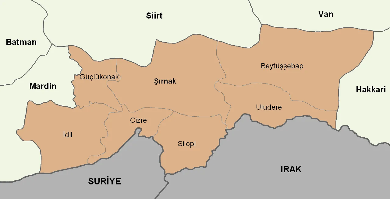 Şırnak Province Region, Turkey148 km W
-
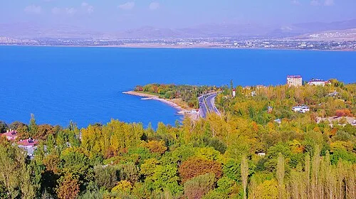 Van Province Region, Turkey100 km NW
-
Başkale İlçesi District, Van Province54 km N
-
Doski Aşireti Bölgesi District, Hakkâri Province23 km S
-
İpekyolu District, Van Province118 km NW
-
Edremit District, Van Province117 km NW
Sources & licences
Data last updated: · 2 independent sources