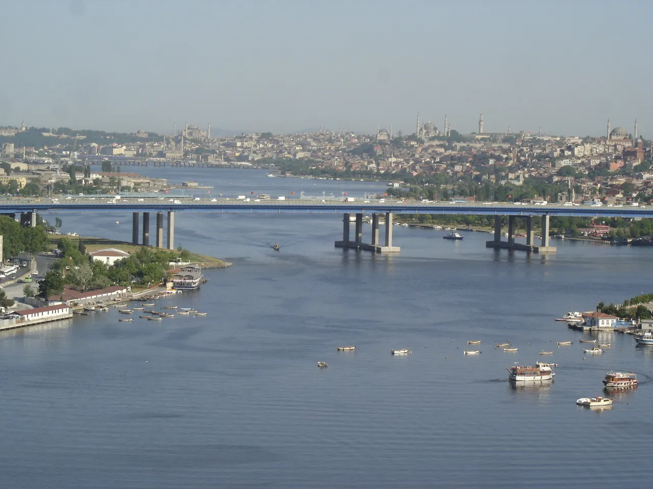
Haliç Bridge
Located in Turkey Coordinates: 41°02′36″ N 28°56′30″ E
- Local time
- UTC+03:00
- Europe/Istanbul · UTC+03:00
- Elevation
- 19 m
- above sea level
About Haliç Bridge
Haliç Bridge is a landmark. Location: Turkey.
The Haliç Bridge (Turkish: Haliç Köprüsü), or the Golden Horn Bridge, is a road bridge across the Golden Horn in Istanbul, Turkey. It connects the neighbourhoods of Ayvansaray in the southwest and Halıcıoğlu in the northwest. The bridge carries the O-1 motorway, also known as the Istanbul Inner Beltway. It was constructed between 1971 and 1974, and entered service on 10 September 1974. The engineering work was carried out by IHI Corporation of Japan and Julius Berger-Bauboag AG of Germany.
Read more on Wikipedia Text: Wikipedia contributors · CC BY-SA 4.0 · shortened
At a glance
- Built
- 1974
- Opened
- 1974
- Height
- 22 m
- Length
- 1 km
Source: Wikidata
In comparison
- 100 sights and natural places within 10 km Kâğıthane Deresi, Alibey Deresi
Nearby attractions & nature
Everything nearby-
Chora church Attraction, Fatih1.4 km S
-
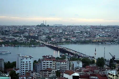 Atatürk Bridge Landmark, Turkey2.9 km SE
-
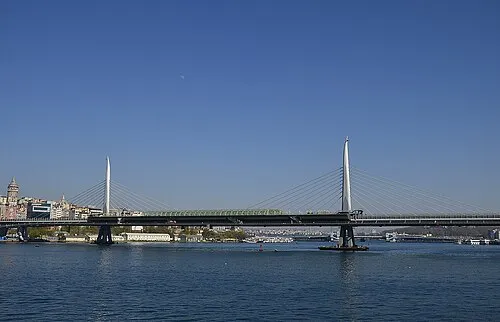 Golden Horn Metro Bridge Landmark, Beyoğlu3.1 km SE
-
Saint Mary of the Mongols Attraction, Fatih1.6 km SE
-
The Ecumenical Patriarchate Attraction, Fatih1.8 km SE
-
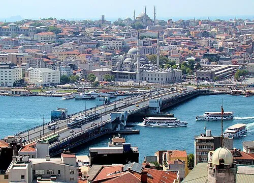 Galata Bridge Landmark, Istanbul3.7 km SE
-
Prodromos / Church of St. John Prodromos in Trullo / Hirami Ahmet Pasha Mosque / Hirâmi Ahmed Paşa Camii Attraction, Fatih2 km SE
-
Laleli mosque Attraction, Fatih3.9 km S
Nearest towns and villages
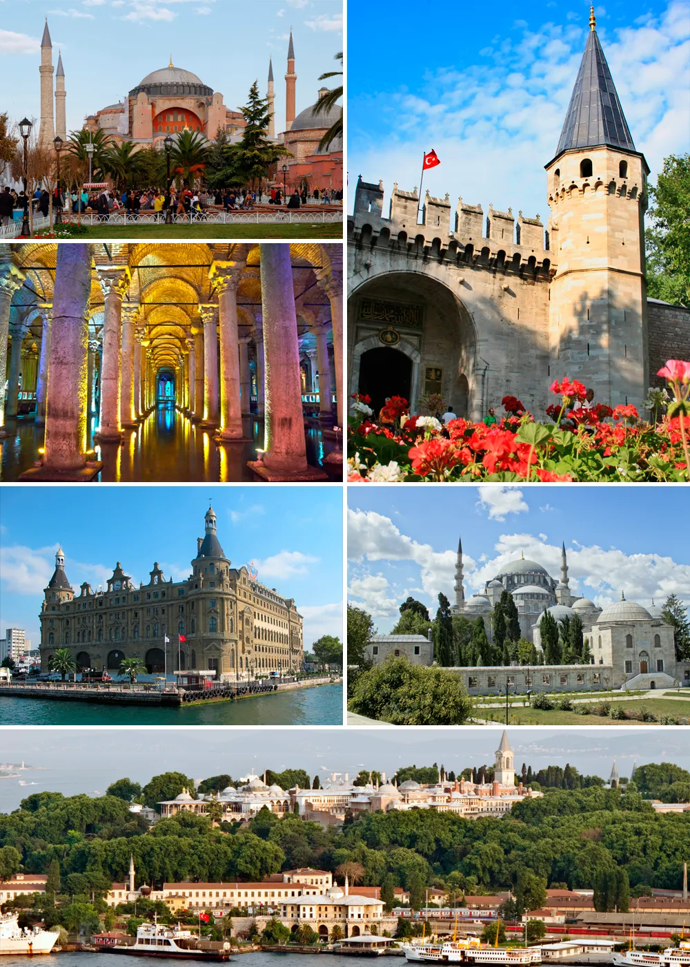
More sights in Turkey
-
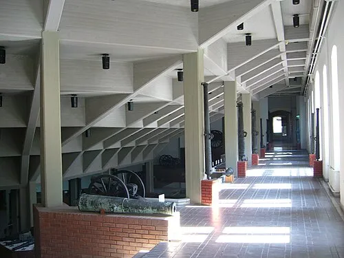 Istanbul Military Museum Museum, Şişli3.9 km E
-
Sirkeci Müslihiddin Attraction, Beyoğlu2.3 km E
-
Eski Imaret Mosque (Soter Akataleptos Monastery) Attraction, Fatih2.7 km SE
-
Fatih mosque Attraction, Fatih2.7 km S
-
(former) Eastern Orthodox Church of the Holy Apostles Attraction, Fatih2.7 km S
-
Christ Pentokrator Monastery / Theotokos Eleousa Church / Zeyrek Mosque Attraction, Fatih2.9 km SE
Sources & licences
Data last updated: · 2 independent sources