Balat
Located in Fatih, Istanbul Coordinates: 41°01′44″ N 28°56′53″ E
- Population
- 17,106
- 17.1K
- Elevation
- 1 m
- above sea level
- Local time
- UTC+03:00
- Europe/Istanbul · UTC+03:00
About Balat
Balat is a neighbourhood. Location: Fatih, Istanbul. Population: 17,106.
Balat is a neighbourhood in the municipality and district of Fatih, Istanbul Province, Turkey. Its population is 11,656 (2022). It is in the old city on the European side of Istanbul, on the western shore of the Golden Horn, sandwiched between Fener and Ayvansaray. Historically, it was the center of the Jewish community in Istanbul. The name Balat is probably derived from Greek palation (palace), from Latin palatium, after the nearby Palace of Blachernae.
Read more on Wikipedia Text: Wikipedia contributors · CC BY-SA 4.0 · shortened
At a glance
- Area
- 41 ha
Source: Wikidata
In comparison
- No. 5 of 9 places in Fatih by population
- Nearest larger town: Fatih, 1 km SW
- 107 sights and natural places within 10 km Saint Mary of the Mongols, The Ecumenical Patriarchate
Nearby attractions & nature
Everything nearby-
Saint Mary of the Mongols Attraction, Fatih0.1 km NE
-
The Ecumenical Patriarchate Attraction, Fatih0.3 km E
-
Prodromos / Church of St. John Prodromos in Trullo / Hirami Ahmet Pasha Mosque / Hirâmi Ahmed Paşa Camii Attraction, Fatih0.4 km SE
-
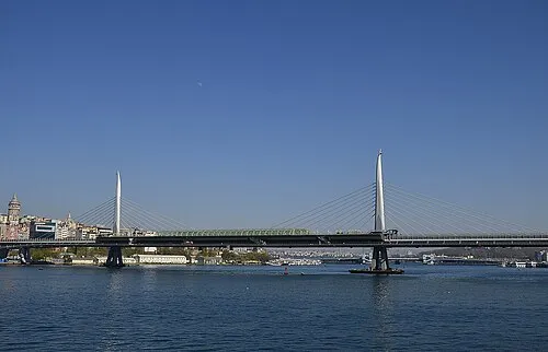 Golden Horn Metro Bridge Landmark, Beyoğlu1.7 km SE
-
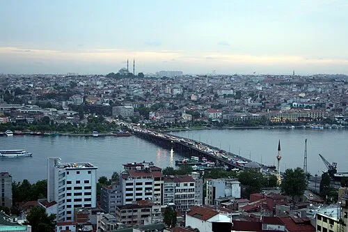 Atatürk Bridge Landmark, Turkey1.5 km E
-
Chora church Attraction, Fatih0.8 km W
Sources & licences
Data last updated: · 2 independent sources