Antakya
Located in Antakya İlçesi, Hatay Province Coordinates: 36°12′24″ N 36°09′26″ E
- Population
- 399,045
- 399K
- Elevation
- 104 m
- above sea level
- Local time
- UTC+03:00
- Europe/Istanbul · UTC+03:00
About Antakya
Antakya is a city. Location: Antakya İlçesi, Hatay Province. Population: 399,045. Elevation: 104 m.
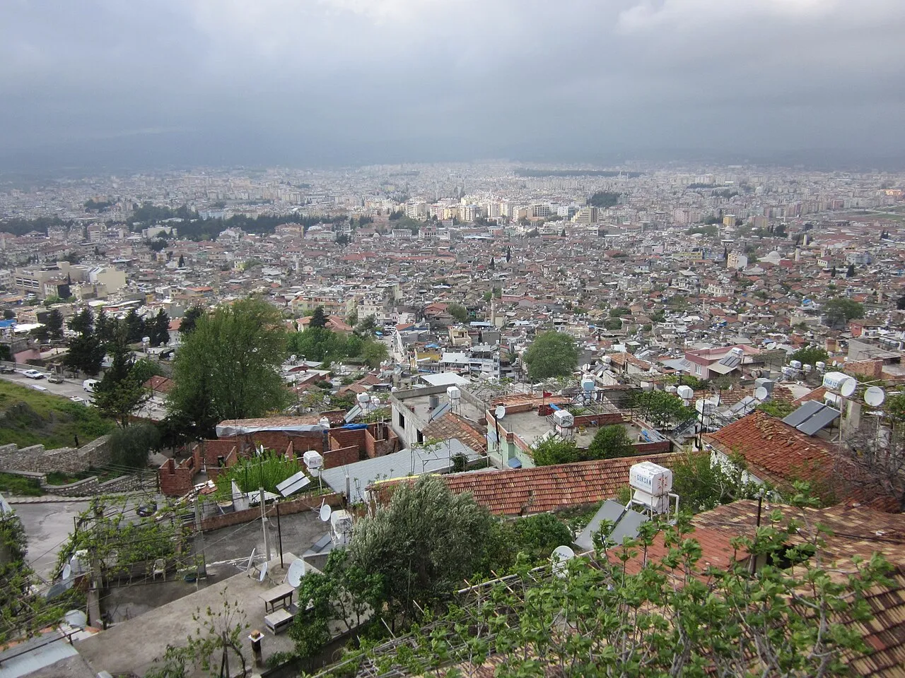
Antakya (Turkish pronunciation: [anˈtakja]), Turkish form of Antioch, is a municipality and the capital district of Hatay Province, Turkey, with an area of 703 km2 (271 sq mi) and a population of around 400,000 people as of 2022. It is in the Hatay Province, which is the southernmost region of Turkey. The city is located in a well-watered and fertile valley on the Orontes River, about 20 kilometres (12 mi) from the Levantine Sea.
Read more on Wikipedia Text: Wikipedia contributors · CC BY-SA 4.0 · shortened
At a glance
- Built
- 301 BC
Source: Wikidata
In comparison
- Most populous of 15 places in Antakya İlçesi
- 9 sights and natural places within 10 km Nacar Dağı, Barbarlı Dere
Nearby attractions & nature
Everything nearby-
Nacar Dağı Mountain, Hatay Province2.1 km SE
-
Hatay Archeological Museum - Hatay Arkeoloji Müzesi Museum, Antakya İlçesi2.9 km NE
-
Barbarlı Dere River, Hatay Province2.2 km S
-
Kartal Tepe Mountain, Defne5.4 km S
-
Nacar Dağı Mountain, Defne5.3 km S
-
Maran Tepe Mountain, Antakya İlçesi7.3 km NW
-
Kartal Tepesi Mountain, Defne5.4 km S
-
Aliderviş Tepe Mountain, Defne8.2 km SW
Sources & licences
Data last updated: · 2 independent sources