Hatay Province
Local name: Hatay ili
Located in Turkey Coordinates: 36°30′00″ N 36°15′00″ E
- Population
- 1,562,185
- 1.6M
- Elevation
- 1,255 m
- above sea level
- Local time
- UTC+03:00
- Europe/Istanbul · UTC+03:00
- Places inside
- 178
- listed under Hatay Province
About Hatay Province
Hatay Province is a region. Location: Turkey. Population: 1,562,185.
Hatay Province (Turkish: Hatay ili, pronounced [ˈhataj]) is the southernmost province and metropolitan municipality of Turkey. Its area is 5,524 km2 (2,133 sq mi), and its population is 1,686,043 (2022). It is situated mostly outside Anatolia, along the eastern coast of the Levantine Sea. The province borders Syria to its south and east, the Turkish province of Adana to the northwest, Osmaniye to the north, and Gaziantep to the northeast.
Read more on Wikipedia Text: Wikipedia contributors · CC BY-SA 4.0 · shortened
At a glance
- Area
- 5,403 km²
Source: Wikidata
In comparison
- 18 sights and natural places within 10 km Okuz Tepe, Çobandede Tepesi
- Listed here: River: 89, Municipality: 26, Natural site: 23, District: 15
Places in Hatay Province
178 places-
Antakya İlçesi District399K
-
İskenderun İlçesi District251.7K
-
Defne District134.6K
-
Dörtyol İlçesi District128.9K
-
Kırıkhan İlçesi District121K
-
Samandağ District116.2K
-
Arsuz District109.6K
-
Reyhanlı İlçesi District108.1K
-
Altınözü İlçesi District60.3K
-
Hassa İlçesi District56.7K
-
Erzin İlçesi District41.3K
-
Payas District39K
-
Yayladağı İlçesi District36.8K
-
Belen İlçesi District34.4K
-
Kumlu İlçesi District13.3K
-
Uchagyz Village275
-
Ağoluk Pınarı Natural site
-
Aknınar Pınar Natural site
-
Aktepe Bucağı Municipality
-
Aliç Dere River
-
Alıslıtepeleri Mountain
-
Altınözü Bucağı Municipality
-
Amanos Dağları Mountain
-
Amardazı Tepesi Mountain
-
Anba Deresi River
-
Arsuz İlçesi Municipality
-
Aşağı Gökyar Deresi River
-
Aşağı Zerkum Çeşmesi Natural site
-
Atiksuyu Natural site
-
Avcılar Çayı River
-
Aynisuhan Dağı Mountain
-
Babatorun Bucağı Municipality
-
Balcan Dere River
-
Balık Gölü Lake
-
Ballığın Deresi River
-
Barbarlı Dere River
-
Başlamış Ilıcası Natural site
-
Belen Bucağı Municipality
-
Beyaz Çay River
-
Beyaz Çay River
-
Bitgen Dağı Mountain
-
Bölüksu River
-
Büyükdere Natural site
-
Büyükkara Çay River
-
Çakal Dere River
-
Çalakgediği Deresi River
-
Çatalçam Deresi River
-
Cebeynem Deresi River
-
Çeğlanındüzü Deresi River
-
Çelikyeri Deresi River
-
Cerrahoğlu Village
-
Çiftlarslan Tepesi Mountain
-
Çınarlı Deresi River
-
Çoklu Dere River
-
Davut Paşa Mountain
-
Degirmen River
-
Değirmen Dere River
-
Değirmen Dere River
-
Değirmensuyu Deresi River
-
Deli Çay River
Largest cities and towns
-
Antakya City, Antakya İlçesi399K
-
İskenderun City, İskenderun İlçesi251.7K
-
Arsuz City, Arsuz109.6K
-
Payas City, Payas41.4K
-
Denizciler Town, İskenderun İlçesi17.5K
-
Narlıca Town, Antakya İlçesi18.4K
-
Samandağ City, Samandağ123.4K
-
Akbez Town, Hassa İlçesi10.2K
Nature and heritage in Hatay Province
-
Cebeli Akra Mountain, Yayladağı İlçesi
-
Ziyaret Dağı Mountain, Yayladağı İlçesi
-
Yassıdan Dağı Mountain, Belen İlçesi
-
Susuz Tepe Mountain, Arsuz
-
Sincer Tepesi Mountain, Antakya İlçesi
-
Kızıl Dağ Mountain, Arsuz
Other regions in Turkey
-
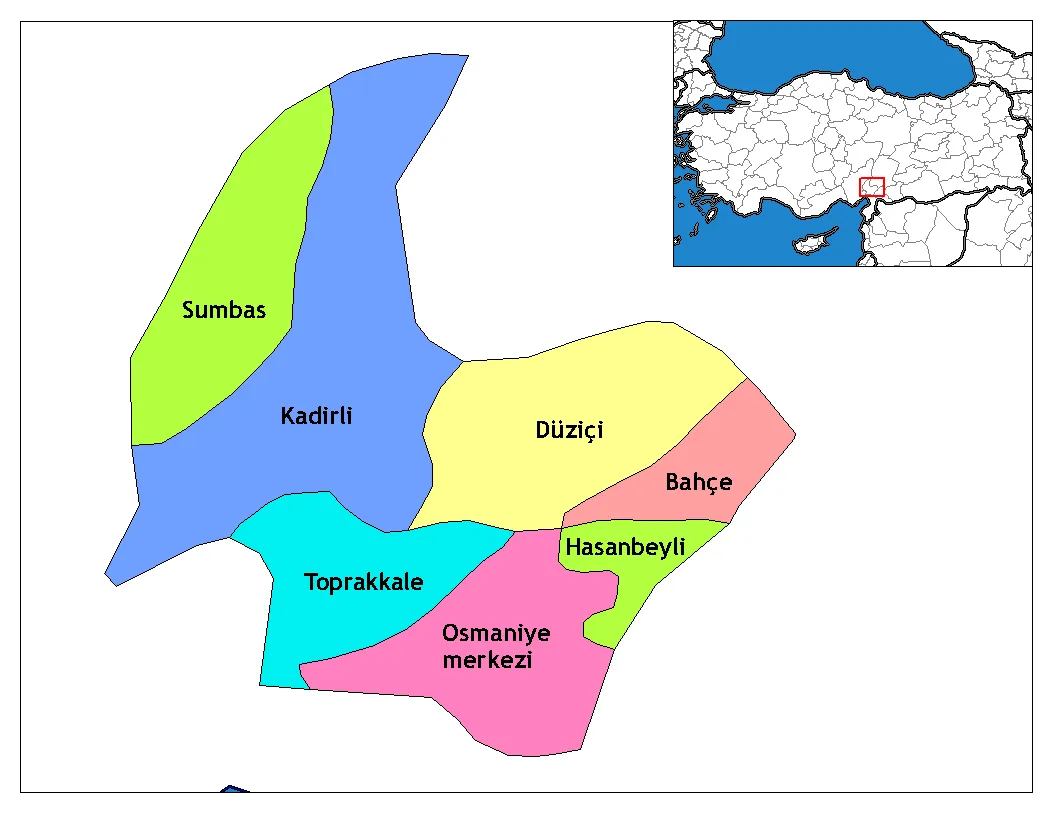 Osmaniye Province Region, Turkey82 km N
-
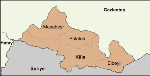 Kilis Province Region, Turkey84 km E
-
 Adana Province Region, Turkey101 km NW
-
Yumurtalık District, Adana Province51 km NW
Sources & licences
Data last updated: · 2 independent sources