Hatay Province
Local name: Hatay ili
Located in Turkey Coordinates: 36°30′00″ N 36°15′00″ E
- Population
- 1,562,185
- 1.6M
- Elevation
- 1,255 m
- above sea level
- Local time
- UTC+03:00
- Europe/Istanbul · UTC+03:00
- Places inside
- 178
- listed under Hatay Province
About Hatay Province
Hatay Province is a region. Location: Turkey. Population: 1,562,185.
Hatay Province (Turkish: Hatay ili, pronounced [ˈhataj]) is the southernmost province and metropolitan municipality of Turkey. Its area is 5,524 km2 (2,133 sq mi), and its population is 1,686,043 (2022). It is situated mostly outside Anatolia, along the eastern coast of the Levantine Sea. The province borders Syria to its south and east, the Turkish province of Adana to the northwest, Osmaniye to the north, and Gaziantep to the northeast.
Read more on Wikipedia Text: Wikipedia contributors · CC BY-SA 4.0 · shortened
At a glance
- Area
- 5,403 km²
Source: Wikidata
In comparison
- 18 sights and natural places within 10 km Okuz Tepe, Çobandede Tepesi
- Listed here: River: 89, Municipality: 26, Natural site: 23, District: 15
Places in Hatay Province
178 places-
Deli Çay River
-
Deli Çay River
-
Delihalil Tepe Mountain
-
Delioğlar Pınar Natural site
-
Demrekgölü Lake
-
Derebahçe Deresi River
-
Derebani Dere River
-
Domuz Dere River
-
Dörtyol Bucağı Municipality
-
Dureyurt Deresi River
-
Dutlu Dere River
-
Erzin Bucağı Municipality
-
Eskiceyhanyatağı River
-
Fenek Deresi River
-
Fındık Çayı River
-
Gökkaya Deresi River
-
Gökpınar Deresi River
-
Gökyar Deresi River
-
Gölceyhan River
-
Gombede Pınarı Natural site
-
Gönençayı Deresi River
-
Güvenç Bucağı Municipality
-
Güzel Çay River
-
Hacılar Deresi River
-
Harami Çeşme Natural site
-
Harbiye Bucağı Municipality
-
Hassa Bucağı Municipality
-
Hatapçı Dere River
-
Hıdırbey Bucağı Municipality
-
Hıdırilyas Tepesi Mountain
-
Hırlavuk Burnu Natural site
-
Hocaali Deresi River
-
Hopur Çayı River
-
Ilıca River
-
İnceçarsak Deresi River
-
İncesu Village
-
İskenderun Bucağı Municipality
-
Kahüpki Kaynağı Natural site
-
Kale Dere River
-
Kalikmo Deresi River
-
Kalla River
-
Karaçalılık Deresi River
-
Karaçay Bucağı Municipality
-
Karaçay Deresi River
-
Karakaya Deresi River
-
Karakaya Deresi River
-
Karalarözü River
-
Karalarözü River
-
Karanlık Dere River
-
Karbeyaz Bucağı Municipality
-
Karmezar Pınarı Natural site
-
Kazankaya Dere River
-
Kazankaya Deresi River
-
Kizil-Ark River
-
Kırıkhan Bucağı Municipality
-
Kırıkköprü Village
-
Kışlak Bucağı Municipality
-
Kışlak Dere River
-
Kızılkaya Tepesi Mountain
-
Koca Çay River
Largest cities and towns
-
Antakya City, Antakya İlçesi399K
-
İskenderun City, İskenderun İlçesi251.7K
-
Arsuz City, Arsuz109.6K
-
Payas City, Payas41.4K
-
Denizciler Town, İskenderun İlçesi17.5K
-
Narlıca Town, Antakya İlçesi18.4K
-
Samandağ City, Samandağ123.4K
-
Akbez Town, Hassa İlçesi10.2K
Nature and heritage in Hatay Province
-
Cebeli Akra Mountain, Yayladağı İlçesi
-
Ziyaret Dağı Mountain, Yayladağı İlçesi
-
Yassıdan Dağı Mountain, Belen İlçesi
-
Susuz Tepe Mountain, Arsuz
-
Sincer Tepesi Mountain, Antakya İlçesi
-
Kızıl Dağ Mountain, Arsuz
Other regions in Turkey
-
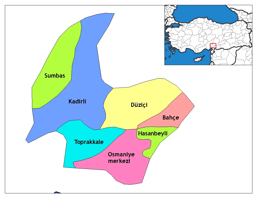 Osmaniye Province Region, Turkey82 km N
-
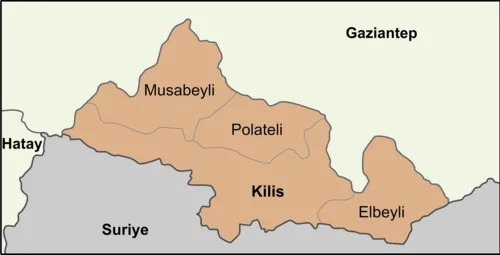 Kilis Province Region, Turkey84 km E
-
Belen İlçesi District, Hatay Province5.1 km W
-
İskenderun İlçesi District, Hatay Province14 km N
-
Kırıkhan İlçesi District, Hatay Province17 km E
-
Antakya İlçesi District, Hatay Province29 km S
Sources & licences
Data last updated: · 2 independent sources