İskenderun
Located in İskenderun İlçesi, Hatay Province Coordinates: 36°35′14″ N 36°10′24″ E
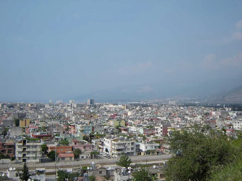
- Population
- 251,682
- 251.7K
- Elevation
- 9 m
- above sea level
- Local time
- UTC+03:00
- Europe/Istanbul · UTC+03:00
About İskenderun
İskenderun is a city. Location: İskenderun İlçesi, Hatay Province. Population: 251,682. Elevation: 9 m.
İskenderun (Arabic: إسكندرونة), historically known as Alexandretta (Greek: Αλεξανδρέττα, lit. 'little Alexandria') and Scanderoon, is a municipality and district of Hatay Province, Turkey. Its area is 247 km2, and its population is 251,682 (2022). It is on the Mediterranean coast. Located on an alluvial plain, the city was heavily damaged by powerful earthquakes in February 2023 and subsequent aftershocks, floods and fires. The city's history dates back to the Hellenistic period.
Read more on Wikipedia Text: Wikipedia contributors · CC BY-SA 4.0 · shortened
At a glance
- Area
- 247 km²
Source: Wikidata
In comparison
- Most populous of 6 places in İskenderun İlçesi
- Nearest larger town: Antakya, 42 km S
- 29 sights and natural places within 10 km Zorlu Tepe, Almadagh
Nearby attractions & nature
Everything nearby-
Zorlu Tepe Mountain, İskenderun İlçesi2.6 km S
-
Almadagh Mountain, İskenderun İlçesi2.8 km NE
-
Çağşak Tepesi Mountain, İskenderun İlçesi3.9 km E
-
Daz Tepesi Mountain, İskenderun İlçesi5.7 km SE
-
Mys Sakhri-Sakaliya Natural site, İskenderun İlçesi5.2 km NE
-
Koca Dere River, Hatay Province3.6 km NE
-
Karaincir Tepesi Mountain, İskenderun İlçesi6.6 km E
-
Kabak Tepe Mountain, İskenderun İlçesi6.8 km SE
Other cities and towns in İskenderun İlçesi
-
 Denizciler Town, İskenderun İlçesi7 km NE
-
Karayılan Town, İskenderun İlçesi14 km N
Sources & licences
Data last updated: · 2 independent sources