Seldiren
Located in Samandağ, Hatay Province Coordinates: 36°13′50″ N 35°59′20″ E
- Population
- 511
- 511
- Elevation
- 448 m
- above sea level
- Local time
- UTC+03:00
- Europe/Istanbul · UTC+03:00
About Seldiren
Seldiren is a village. Location: Samandağ, Hatay Province. Population: 511. Elevation: 448 m.
Seldiren is a neighbourhood of the municipality and district of Samandağ, Hatay Province, Turkey. Its population is 511 (2022). It is in the forests of Nur (Amanus) Mountains. Distance to Samandağ is about 20 kilometres (12 mi). The village was founded in the early 1800s by people from north of Hatay Province. The main economic activity is agriculture and forestry.
Read more on Wikipedia Text: Wikipedia contributors · CC BY-SA 4.0 · shortened
In comparison
- No. 9 of 11 places in Samandağ by population
- Nearest larger town: Toygarlı, 8 km E
- 2 sights and natural places within 10 km Karaçay Deresi, Musa Dagh
Nearby attractions & nature
Everything nearby-
Karaçay Deresi River, Hatay Province3.5 km SW
-
Musa Dagh Mountain, Samandağ7.1 km SW
-
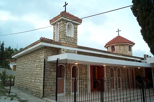 Church of the Holy Mother of God Attraction, Samandağ13 km S
-
Maran Tepe Mountain, Antakya İlçesi11 km E
-
Aliderviş Tepe Mountain, Defne12 km SE
-
Büyükdere Natural site, Hatay Province10 km SE
Sources & licences
Data last updated: · 2 independent sources