Iğdır Province
Local name: Iğdır ili
Located in Turkey Coordinates: 39°55′00″ N 44°00′00″ E
- Population
- 203,594
- 203.6K
- Elevation
- 856 m
- above sea level
- Local time
- UTC+03:00
- Europe/Istanbul · UTC+03:00
- Places inside
- 24
- listed under Iğdır Province
About Iğdır Province
Iğdır Province is a region. Location: Turkey. Population: 203,594.
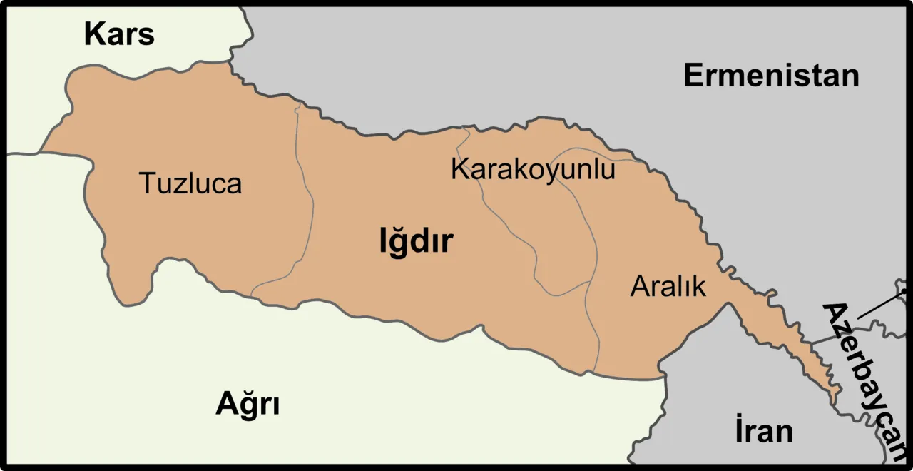
Iğdır Province (Turkish: Iğdır ili, Kurdish: Parêzgeha Îdirê, Azerbaijani: İğdır ili, Armenian: Իգդիրի մարզ, romanized: Igdiri marz) is a province in eastern Turkey, located along the borders with Armenia, Azerbaijan (the area of Nakhchivan Autonomous Republic), and Iran. Its adjacent provinces are Kars to the northwest and Ağrı to the west and south. Its area is 3,664 km2, and its population is 203,594 (2022). Its population was 168,634 in 2000 and 142,601 in 1990.
Read more on Wikipedia Text: Wikipedia contributors · CC BY-SA 4.0 · shortened
At a glance
- Area
- 3,588 km²
Source: Wikidata
In comparison
- 3 sights and natural places within 10 km Kanber Deresi, Zorköy Deresi
- Listed here: River: 12, District: 4, Lake: 2, Municipality: 2
Places in Iğdır Province
24 places-
Iğdır İlçesi District152.5K
-
Tuzluca İlçesi District21.5K
-
Aralık İlçesi District18.5K
-
Karakoyunlu İlçesi District12.6K
-
Aşağı Dere River
-
Aşıran Deresi River
-
Aşma Deresi River
-
Ayı Pınarı Natural site
-
Bozhane Deresi River
-
Buruksu River
-
Büyükyar Deresi River
-
Çerkezağıl Deresi River
-
Eğritaş Deresi River
-
Erhacı Gölü Lake
-
Gaziler Bucağı Municipality
-
Genuti Mountain
-
Kanber Deresi River
-
Kazlıgöl Lake
-
Mollaahmet Deresi River
-
Sarıabdal Deresi River
-
Sarıabdal Deresi River
-
Satılmış Pınar Natural site
-
Taşburun Bucağı Municipality
-
Vaiskom Harabesi Historic site
Largest cities and towns
-
Halfeli Municipality Town, Iğdır İlçesi8.4K
-
Iğdır City, Iğdır İlçesi101.7K
-
Tuzluca İlçe Merkezi Municipality, Tuzluca İlçesi9.9K
-
Bağlar Mahallesi Neighbourhood, Iğdır Municipality17.5K
-
Aşağıerhacı Village, Iğdır İlçesi4.4K
-
Hoşhaber Municipality Village, Iğdır İlçesi2.7K
-
Topçular Mahallesi Neighbourhood, Iğdır Municipality12K
-
Özgür Mahallesi Neighbourhood, Iğdır Municipality11.2K
Nature and heritage in Iğdır Province
-
Oyuklu Dağ Mountain, Tuzluca İlçesi
-
Kuzkuzbabadağı Tepe Mountain, Tuzluca İlçesi
-
Kopgel Mountain, Aralık İlçesi
-
Great Ararat Mountain, Aralık İlçesi
-
Kūh-e Ārārāt-e Bozorg Mountain, Aralık İlçesi
-
Atburnu Tepesi Mountain, Tuzluca İlçesi
Other regions in Turkey
-
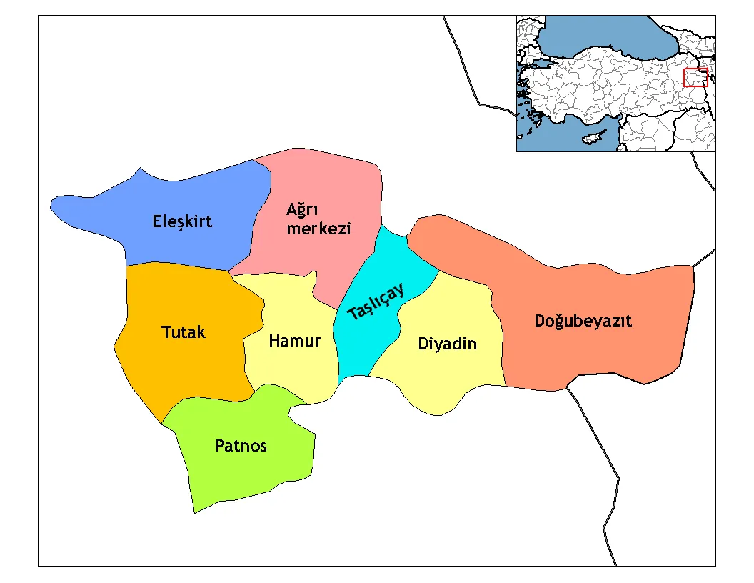 Ağrı Province Region, Turkey77 km W
-
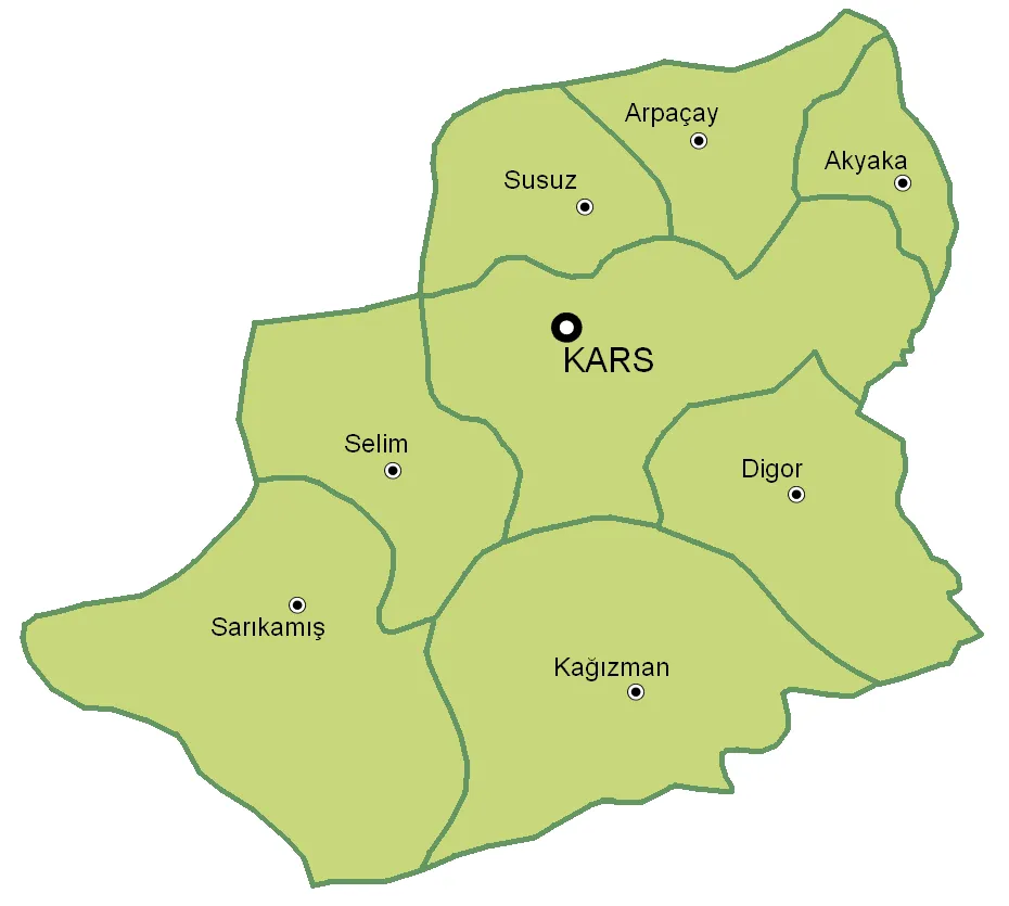 Kars Province Region, Turkey96 km NW
-
Doğubayazıt District District, Ağrı Province41 km S
-
Diyadin District District, Ağrı Province49 km SW
-
Taşlıçay District District, Ağrı Province61 km SW
-
Digor İlçesi District, Kars Province71 km NW
Sources & licences
Data last updated: · 2 independent sources