Ağrı Province
Local name: Ağrı il
Located in Turkey Coordinates: 39°40′00″ N 43°10′00″ E
- Population
- 510,626
- 510.6K
- Elevation
- 1,712 m
- above sea level
- Local time
- UTC+03:00
- Europe/Istanbul · UTC+03:00
- Places inside
- 146
- listed under Ağrı Province
About Ağrı Province
Ağrı Province is a region. Location: Turkey. Population: 510,626.
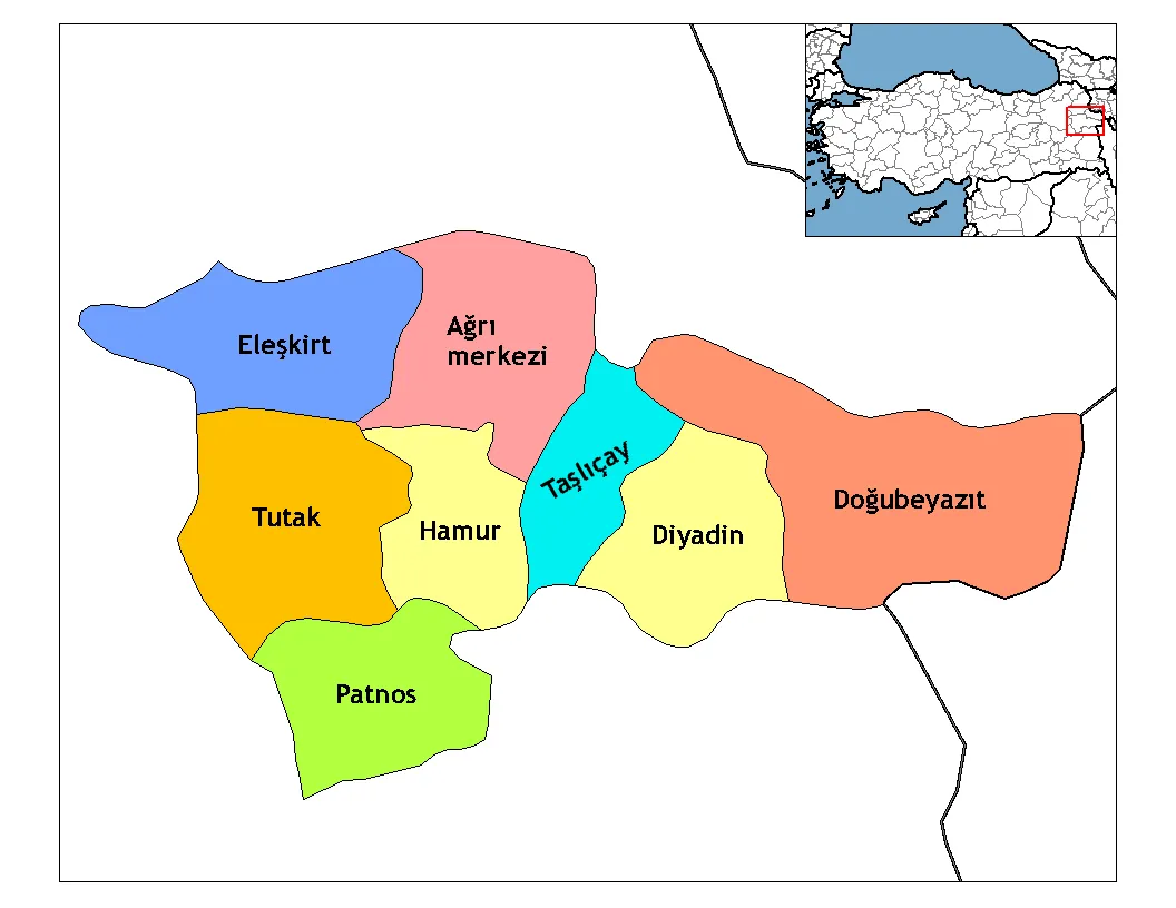
Ağrı Province (Turkish: Ağrı ili, Armenian: Արարատ մարզ, Kurdish: Parêzgeha Agirîyê) is located in eastern Turkey, bordering Iran to the east and the provinces of Kars to the north, Erzurum to the northwest, Muş and Bitlis to the southwest, Van to the south, and Iğdır to the northeast. Its area is 11,099 km2, and its population is 511,238 (2023). The provincial capital is Ağrı, situated on a 1,650 metres (5,410 ft) high plateau. Doğubayazıt was the capital of the province until 1946.
Read more on Wikipedia Text: Wikipedia contributors · CC BY-SA 4.0 · shortened
At a glance
- Area
- 11,376 km²
Source: Wikidata
In comparison
- 5 sights and natural places within 10 km Eşkik Deresi, Mehmetyusuf Pınarı
- Listed here: River: 88, Natural site: 16, Municipality: 12, Mountain: 10
Places in Ağrı Province
146 places-
Patnos District District125.7K
-
Doğubayazıt District District119.6K
-
Diyadin District District45.4K
-
Eleşkirt İlçesi District38.2K
-
Tutak İlçesi District33.8K
-
Taşlıçay District District22.2K
-
Hamur İlçesi District20.9K
-
Adaletabat Village
-
Ağrı District
-
Ahmetbey Deresi River
-
Ahmetbey Deresi River
-
Akyayla Dağı Mountain
-
Araralı Deresi River
-
Aşağıkülecik Deresi River
-
Avharik Deresi River
-
Aydoboğazı Deresi River
-
Bahçeköy Deresi River
-
Balıkgölü Deresi River
-
Balıkgölü Deresi River
-
Başıma Dere River
-
Beyaz Göl Lake
-
Beyaztaş Dere River
-
Bezirgan Deresi River
-
Büyüksu Çayı River
-
Buzkaya Dağı Mountain
-
Çakçak Deresi River
-
Çakırbey Deresi River
-
Çatalipaşa Deresi River
-
Cem Deresi River
-
Çengel Deresi River
-
Çifte Pınar Natural site
-
Çirpili Deresi River
-
Çögege Deresi River
-
Çoraksu Deresi River
-
Cumaçay Bucağı Municipality
-
Cuma Çayı River
-
Cuma Çayı River
-
Dadıkan Dere River
-
Darkut Village
-
Dede Deresi River
-
Değirmen Deresi River
-
Değirmen Deresi River
-
Demir Tepe Mountain
-
Derekent Village
-
Derin Dere River
-
Develi Pınarı Natural site
-
Direk Deresi River
-
Diyadin Bucağı Municipality
-
Doğansu Bucağı Municipality
-
Doğansu Deresi River
-
Doğubayazıt Bucağı Municipality
-
Durak Dağı Mountain
-
Eleşkirt Bucağı Municipality
-
Eleşkirt Deresi River
-
Eşkik Deresi River
-
Geli Deresi River
-
Gelutan Dere River
-
Gendel Çayırı Deresi River
-
Gernaoksuyu River
-
Gökoğlan Village
Largest cities and towns
-
Ağrı City, Ağrı124.5K
-
Doğubeyazıt City, Doğubayazıt District81.1K
-
Patnos City, Patnos District57.9K
-
Fırat Neighbourhood, Ağrı29K
-
Diyadin City, Diyadin District18.9K
-
Doğansu Village, Patnos District4.9K
-
Abide Neighbourhood, Ağrı15K
-
Ahmedihani Neighbourhood, Doğubayazıt District13.2K
Nature and heritage in Ağrı Province
-
Little Ararat Mountain, Doğubayazıt District
-
Tendürek Dağı Mountain, Doğubayazıt District
-
Zor Dağ Mountain, Doğubayazıt District
-
Top Dağı Mountain, Patnos District
-
Köse Dağı Mountain, Eleşkirt İlçesi
-
Kandil Dağı Mountain, Hamur İlçesi
Other regions in Turkey
-
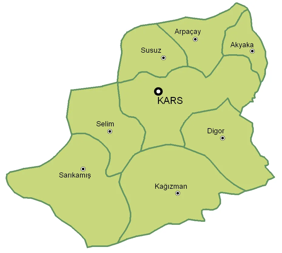 Kars Province Region, Turkey84 km N
-
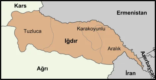 Iğdır Province Region, Turkey77 km E
-
Erciş District, Van Province59 km S
-
Kağızman İlçesi District, Kars Province53 km N
-
Tuzluca İlçesi District, Iğdır Province59 km NE
-
Iğdır İlçesi District, Iğdır Province76 km E
Sources & licences
Data last updated: · 2 independent sources