Tendürek Dağı
Located in Doğubayazıt District, Ağrı Province Coordinates: 39°21′19″ N 43°52′07″ E
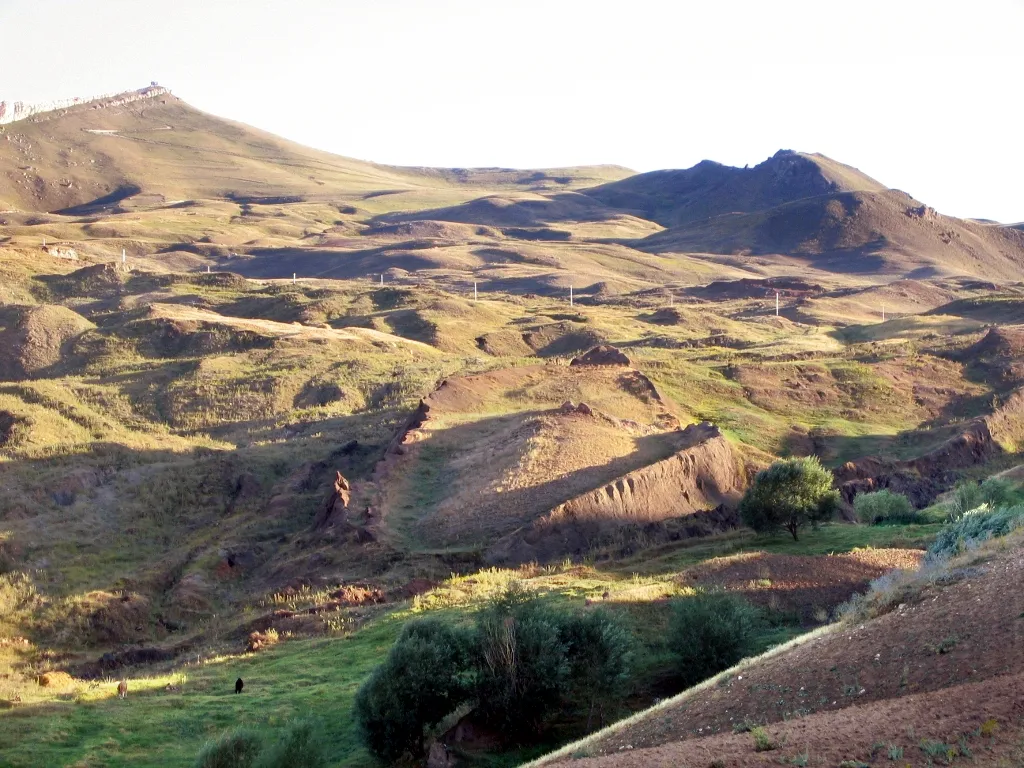
- Elevation
- 3,584 m
- above sea level
- Local time
- UTC+03:00
- Europe/Istanbul · UTC+03:00
About Tendürek Dağı
Tendürek Dağı is a mountain. Location: Doğubayazıt District, Ağrı Province. Elevation: 3,584 m.
Mount Tendürek (Turkish: Tendürek Dağı; Armenian: Թոնդրակ, romanized: T’ondrak) is a shield volcano on the border of Ağrı and Van provinces in eastern Turkey, near the border with Iran. The volcano, which is mostly known for being near the supposed wreck site of Noah's Ark, is very large; its lava flows cover roughly 650 km2 (251 mi2) across a swath of flat land.
Read more on Wikipedia Text: Wikipedia contributors · CC BY-SA 4.0 · shortened
In comparison
- No. 18 of 12182 mountains in Turkey by elevation
- 2 sights and natural places within 10 km Küçük Tendürük Tepesi, Gülizar Tepe
Nearest towns and villages
Nearby attractions & nature
Everything nearby-
Küçük Tendürük Tepesi Mountain, Doğubayazıt District4.8 km E
-
Gülizar Tepe Mountain, Ağrı Province6.2 km NW
-
Akyayla Tepe Mountain, Doğubayazıt District22 km NE
-
Attepesi Mountain, Çaldıran İlçesi15 km SW
-
Susuz Tepe Mountain, Doğubayazıt District14 km N
-
Ziyaret Tepe Mountain, Çaldıran İlçesi15 km E
-
Aytepe Mountain, Çaldıran İlçesi16 km SE
-
Ala Dağlar Mountain, Turkey23 km W
Sources & licences
Data last updated: · 2 independent sources