Susuz Tepe
Located in Doğubayazıt District, Ağrı Province Coordinates: 39°28′38″ N 43°49′02″ E
- Elevation
- 2,309 m
- above sea level
- Local time
- UTC+03:00
- Europe/Istanbul · UTC+03:00
About Susuz Tepe
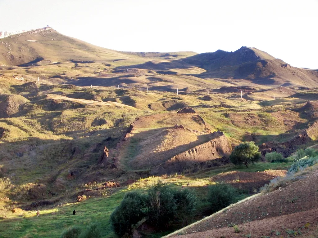
Susuz Tepe is a mountain. Location: Doğubayazıt District, Ağrı Province. Elevation: 2,309 m.
In comparison
- No. 1510 of 12182 mountains in Turkey by elevation
- 3 sights and natural places within 10 km Gövük Tepe, İçtegel Pınarı
Airports nearest to Susuz Tepe
- Iğdır Airport (IGD) Iğdır 56 km
- Ağrı Airport (AJI) Ağrı 71 km
- Zvartnots International Airport (EVN) Yerevan 90 km
Straight-line distance; airports with scheduled flights only. Source: OurAirports (public domain).
Nearest towns and villages
-
Çömçeli Village, Doğubayazıt District3.9 km N
-
Ayrancı Village, Doğubayazıt District4.5 km E
-
Yukarı Tütek Village, Diyadin District4.5 km SW
-
Rahmankulu Village, Diyadin District6 km W
-
Esnemez Village, Doğubayazıt District7.9 km E
-
Aşağıtütek Village, Diyadin District5.8 km NW
Nearby attractions & nature
Everything nearby-
Gövük Tepe Mountain, Diyadin District6.6 km NW
-
İçtegel Pınarı Natural site, Ağrı Province8.2 km NE
-
Gülizar Tepe Mountain, Ağrı Province10 km S
-
 Tendürek Dağı Mountain, Doğubayazıt District14 km S
-
Hakim Tepesi Mountain, Doğubayazıt District12 km NE
-
Kurt Deresi River, Ağrı Province8.9 km N
-
Ziyaret Tepesi Mountain, Diyadin District14 km NW
-
Akyayla Tepe Mountain, Doğubayazıt District20 km E
Sources & licences
Data last updated: