Kabataş
Located in Beyoğlu, Istanbul Coordinates: 41°02′04″ N 28°59′35″ E
- Elevation
- 2 m
- above sea level
- Local time
- UTC+03:00
- Europe/Istanbul · UTC+03:00
About Kabataş
Kabataş is a neighbourhood. Location: Beyoğlu, Istanbul.
Kabataş is a busy waterside area of Beyoğlu municipality on the European shore of the Bosphorus between Karaköy and Beşiktaş in Istanbul, Turkey. It is a major transport interchange served by the T1 tram line to Bağcılar and the funicular railway to Taksim Square. Ferries depart for Üsküdar and Kadıköy on the Asian shore as well as to the Princes Islands. There are also high-speed ferry services to Bursa.
Read more on Wikipedia Text: Wikipedia contributors · CC BY-SA 4.0 · shortened
In comparison
- Nearest larger town: Harbiye, 1 km N
- 114 sights and natural places within 10 km Dolmabahçe Mosque, Atatürk Cultural Center
Nearby attractions & nature
Everything nearby-
Dolmabahçe Mosque Attraction, Beyoğlu0.3 km NE
-
Atatürk Cultural Center Attraction, Beyoğlu0.5 km NW
-
Taksim Gezi Park Natural site, Beyoğlu0.7 km NW
-
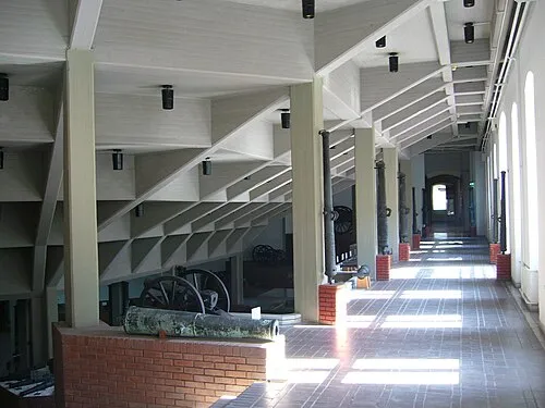 Istanbul Military Museum Museum, Şişli1.5 km N
-
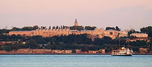 Topkapı Palace Historic site, Fatih2.5 km S
-
Dolmabahçe Palace Historic site, Beşiktaş0.9 km NE
Sources & licences
Data last updated: · 2 independent sources