Tophane
Located in Beyoğlu, Istanbul Coordinates: 41°01′34″ N 28°58′53″ E
- Elevation
- 6 m
- above sea level
- Local time
- UTC+03:00
- Europe/Istanbul · UTC+03:00
About Tophane
Tophane is a neighbourhood. Location: Beyoğlu, Istanbul.
Tophane (Turkish pronunciation: [topˈhane]) (lit. "Armoury") is a quarter in the Beyoğlu district of Istanbul, Turkey, running downhill from Galata to the shore of the Bosphorus where it joins up with Karaköy to the southwest and Fındıklı to the northeast. In the Ottoman era, it was the city's first industrial zone. Despite rapid gentrification, parts of Tophane remain conservative and there have been clashes over some developments in the area.
Read more on Wikipedia Text: Wikipedia contributors · CC BY-SA 4.0 · shortened
In comparison
- Nearest larger town: Eminönü, 1 km SW
- 112 sights and natural places within 10 km Istanbul Modern, Yeraltı Camii
Nearby attractions & nature
Everything nearby-
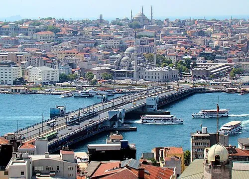 Galata Bridge Landmark, Istanbul1 km SW
-
Istanbul Modern Museum, Beyoğlu0.1 km E
-
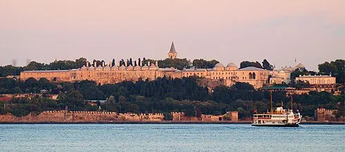 Topkapı Palace Historic site, Fatih1.5 km S
-
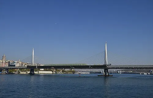 Golden Horn Metro Bridge Landmark, Beyoğlu1.3 km W
-
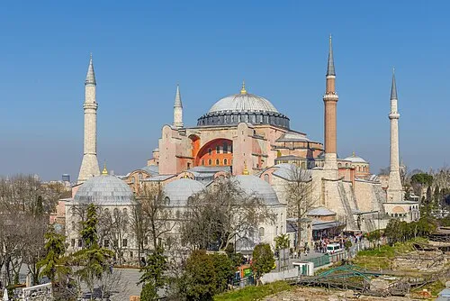 Hagia Sophia Attraction, Fatih2 km S
-
Yeraltı Camii Attraction, Beyoğlu0.6 km SW
Sources & licences
Data last updated: · 2 independent sources