Eminönü
Located in Fatih, Istanbul Coordinates: 41°01′03″ N 28°58′16″ E
- Population
- 55,548
- 55.5K
- Elevation
- 1 m
- above sea level
- Local time
- UTC+03:00
- Europe/Istanbul · UTC+03:00
About Eminönü
Eminönü is a neighbourhood. Location: Fatih, Istanbul. Population: 55,548.
Eminönü, historically known as Pérama, is a predominantly commercial waterfront area of Istanbul within the Fatih district near the confluence of the Golden Horn with the southern entrance of the Bosphorus strait and the Sea of Marmara. It is located in the part of Istanbul known as the historical peninsula, connected to Karaköy (historic Galata) via the Galata Bridge across the Golden Horn. It was administered as part of the Sultanahmet district from 1928 to 2009 when Sultanahmet was absorbed into Fatih.
Read more on Wikipedia Text: Wikipedia contributors · CC BY-SA 4.0 · shortened
In comparison
- No. 2 of 9 places in Fatih by population
- Nearest larger town: Istanbul, 2 km W
- 107 sights and natural places within 10 km Yeni Cami, Rüstem Pasha Mosque
Nearby attractions & nature
Everything nearby-
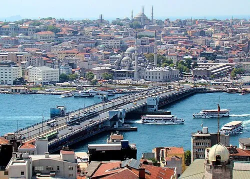 Galata Bridge Landmark, Istanbul0.3 km NE
-
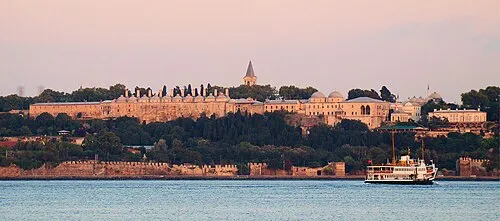 Topkapı Palace Historic site, Fatih1.2 km SE
-
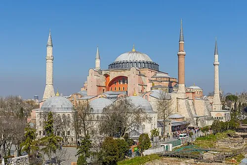 Hagia Sophia Attraction, Fatih1.2 km SE
-
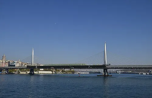 Golden Horn Metro Bridge Landmark, Beyoğlu0.7 km NW
-
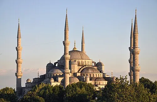 Blue Mosque Attraction, Fatih1.4 km S
-
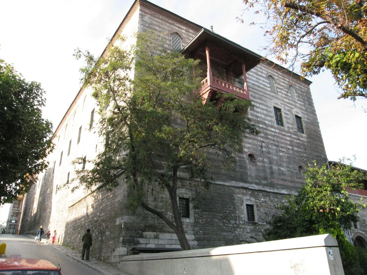 Turkish and Islamic Arts Museum Museum, Fatih1.3 km S
Sources & licences
Data last updated: · 2 independent sources