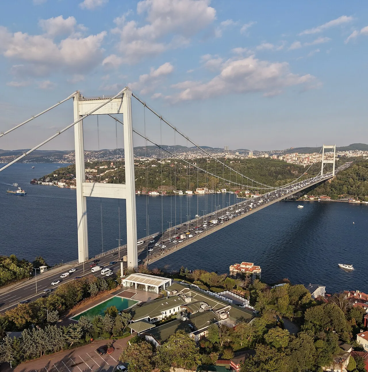
Fatih Sultan Mehmet Bridge
Located in Istanbul, Turkey Coordinates: 41°05′28″ N 29°03′40″ E
- Local time
- UTC+03:00
- Europe/Istanbul · UTC+03:00
- Elevation
- 0 m
- above sea level
About Fatih Sultan Mehmet Bridge
Fatih Sultan Mehmet Bridge is a landmark. Location: Istanbul, Turkey.
The Fatih Sultan Mehmet Bridge ("Sultan Mehmed the Conqueror Bridge"; Turkish: Fatih Sultan Mehmet Köprüsü, abbreviated as F.S.M. Köprüsü), also known as the Second Bosphorus Bridge (İkinci Köprü), is a bridge in Istanbul, Turkey spanning the Bosphorus Strait (Turkish: Boğaziçi). When completed in 1988, it was the 5th-longest suspension bridge span in the world. The bridge is named after the 15th-century Ottoman Sultan Mehmed the Conqueror, who conquered the Byzantine capital, Constantinople (Istanbul), in 1453.
Read more on Wikipedia Text: Wikipedia contributors · CC BY-SA 4.0 · shortened
At a glance
- Built
- 1988
- Opened
- 1988
- Architect
- Hyder Consulting
- Height
- 110 m
- Length
- 1.5 km
Source: Wikidata
In comparison
- 38 sights and natural places within 10 km Hagios Phokas monastery, Göksu Deresi
Nearby attractions & nature
Everything nearby-
Hagios Phokas monastery Historic site, Sarıyer0.8 km SW
-
Küçüksu Kasrı Historic site, Üsküdar1.4 km S
-
Göksu Deresi River, Istanbul1 km SE
-
Balıklı Dere River, Istanbul1 km SE
-
Bosporus Powerline Crossing 1, Tower East Landmark, Üsküdar2.3 km S
-
Bosporus Powerline Crossing 1, Tower West Landmark, Beşiktaş2.8 km SW
-
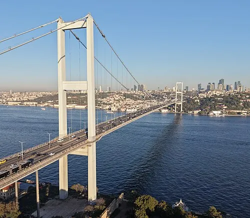 15 July Martyrs Bridge Landmark, Istanbul5.5 km SW
-
Göz Tepe Mountain, Beykoz2.1 km SE
Nearest towns and villages
-
Kanlıca Neighbourhood, Beykoz1.1 km NE
-
Anadoluhisarı Neighbourhood, Beykoz0.9 km SE
-
Etiler Neighbourhood, Beşiktaş2.2 km W
-
Bebek Neighbourhood, Beşiktaş2.1 km SW
More sights in Istanbul
-
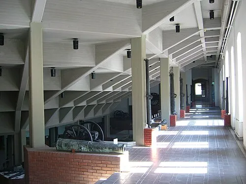 Istanbul Military Museum Museum, Şişli7.8 km SW
-
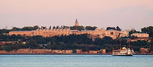 Topkapı Palace Historic site, Fatih11 km SW
-
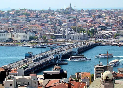 Galata Bridge Landmark, Istanbul11 km SW
-
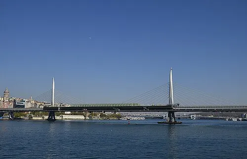 Golden Horn Metro Bridge Landmark, Beyoğlu11 km SW
-
Türker İnanoğlu Maslak Landmark, Sarıyer4.8 km NW
-
Ortaköy Mosque Attraction, Beşiktaş5.7 km SW
Sources & licences
Data last updated: · 2 independent sources