Hagios Phokas monastery
Located in Sarıyer, Istanbul Coordinates: 41°05′05″ N 29°03′24″ E
- Local time
- UTC+03:00
- Europe/Istanbul · UTC+03:00
- Elevation
- 18 m
- above sea level
About Hagios Phokas monastery
Hagios Phokas monastery is a historic site. Location: Sarıyer, Istanbul.
In comparison
- 41 sights and natural places within 10 km Fatih Sultan Mehmet Bridge, Göksu Deresi
Nearby attractions & nature
Everything nearby-
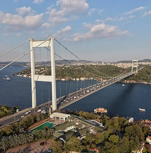 Fatih Sultan Mehmet Bridge Landmark, Istanbul0.8 km NE
-
Küçüksu Kasrı Historic site, Üsküdar1 km SE
-
Bosporus Powerline Crossing 1, Tower East Landmark, Üsküdar1.6 km S
-
Bosporus Powerline Crossing 1, Tower West Landmark, Beşiktaş2 km SW
-
Göksu Deresi River, Istanbul0.9 km E
-
Balıklı Dere River, Istanbul0.9 km E
-
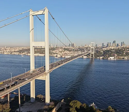 15 July Martyrs Bridge Landmark, Istanbul4.7 km SW
-
Göz Tepe Mountain, Beykoz2.1 km E
Nearest towns and villages
-
Rumelihisarı Neighbourhood, Sarıyer0.4 km N
-
Bebek Neighbourhood, Beşiktaş1.4 km SW
-
Etiler Neighbourhood, Beşiktaş1.7 km W
-
Göztepe Village, Beykoz2 km E
More sights in Sarıyer
-
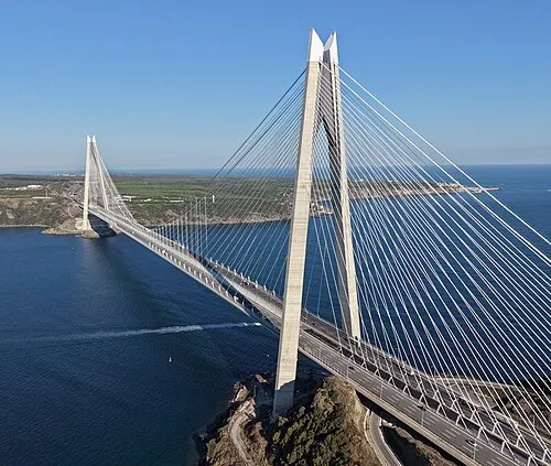 Yavuz Sultan Selim Bridge Landmark, Sarıyer14 km N
-
Türker İnanoğlu Maslak Landmark, Sarıyer5.2 km NW
-
Bosporus Powerline Crossing 2, Pylon West Landmark, Sarıyer10 km N
-
Bosporus Powerline Crossing 3, Pylon West Landmark, Sarıyer10 km N
-
Türkeli Feneri Landmark, Sarıyer17 km N
Sources & licences
Data last updated: