Sarıyer
Located in Istanbul, Turkey Coordinates: 41°12′53″ N 29°03′24″ E
- Population
- 335,598
- 335.6K
- Elevation
- 72 m
- above sea level
- Local time
- UTC+03:00
- Europe/Istanbul · UTC+03:00
- Places inside
- 29
- listed under Sarıyer
About Sarıyer
Sarıyer is a district. Location: Istanbul, Turkey. Population: 335,598.
In comparison
- 19 sights and natural places within 10 km Büyük Liman, Bosporus Powerline Crossing 3, Pylon West
- Listed here: Neighbourhood: 10, Village: 10, Landmark: 5, Town: 2
Places in Sarıyer
29 places-
Zekeriya Town22.6K
-
Tarabya Neighbourhood17.9K
-
İstinye Neighbourhood15.7K
-
Yeniköy Neighbourhood15K
-
Maslak Neighbourhood12.3K
-
Rumelihisarı Neighbourhood11.4K
-
Uskumruköy Town9.9K
-
Büyükdere Neighbourhood8.6K
-
Rumelifeneri Village4.3K
-
Kumköy Village3.9K
-
Rumelikavağı Neighbourhood3.7K
-
Bahçeköy Village3.7K
-
Arıköy Village2K
-
Garipçe Village391
-
Ayazağa Village
-
Boyacıköy Neighbourhood
-
Demirci Village
-
Gümüşdere Village
-
Gümüşköy Neighbourhood
-
Hagios Phokas monastery Historic site
-
Kartal Tepesi Mountain
-
Kısırkaya Village
-
Sarıyer Village
-
Türkeli Feneri Landmark
-
Türker İnanoğlu Maslak Landmark
-
Yavuz Sultan Selim Bridge Landmark
-
Yenimahalle Neighbourhood
Nearby attractions & nature
Everything nearby-
Büyük Liman Natural site, Istanbul4 km SE
-
Keçilik Koyu Natural site, Istanbul6.1 km SE
-
Yoros Kalesi Historic site, Beykoz5.1 km SE
-
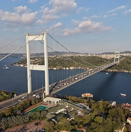 Fatih Sultan Mehmet Bridge Landmark, Istanbul14 km S
-
Bosporus Powerline Crossing 2, Pylon East Landmark, Beykoz5.9 km SE
-
Bosporus Powerline Crossing 3, Pylon East Landmark, Beykoz5.9 km SE
Sources & licences
Data last updated: