Karaköy
Located in Istanbul, Turkey Coordinates: 41°01′32″ N 28°58′48″ E
- Elevation
- 12 m
- above sea level
- Local time
- UTC+03:00
- Europe/Istanbul · UTC+03:00
About Karaköy
Karaköy is a municipality. Location: Istanbul, Turkey. Elevation: 12 m.
Karaköy (Turkish pronunciation: [kaˈɾacøj]), historically known as Galata, is a quarter in the Beyoğlu district of Istanbul, Turkey, located at the northern part of the Golden Horn mouth on the European side of Bosphorus. Karaköy is one of the oldest and most historic districts of the city, and is today an important commercial center and transport hub. It is connected with the surrounding neighborhoods by streets radiating out from Karaköy Square.
Read more on Wikipedia Text: Wikipedia contributors · CC BY-SA 4.0 · shortened
In comparison
- Nearest larger town: Eminönü, 1 km SW
- 112 sights and natural places within 10 km Istanbul Modern, Yeraltı Camii
Nearby attractions & nature
Everything nearby-
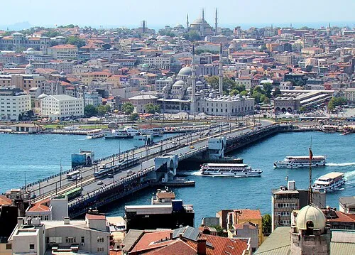 Galata Bridge Landmark, Istanbul0.9 km SW
-
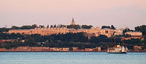 Topkapı Palace Historic site, Fatih1.4 km S
-
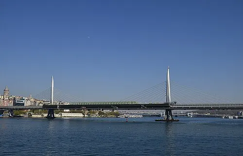 Golden Horn Metro Bridge Landmark, Beyoğlu1.2 km W
-
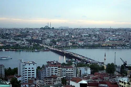 Atatürk Bridge Landmark, Turkey1.3 km W
-
Istanbul Modern Museum, Beyoğlu0.3 km E
-
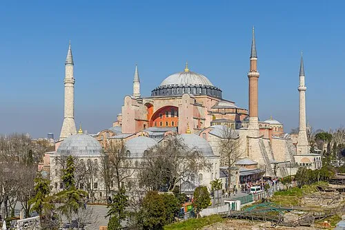 Hagia Sophia Attraction, Fatih1.9 km S
-
Yeraltı Camii Attraction, Beyoğlu0.5 km SW
-
Galata Tower Landmark, Beyoğlu0.5 km W
Other cities and towns in Istanbul
Sources & licences
Data last updated: · 2 independent sources