Mecidiyeköy
Located in Şişli, Istanbul Coordinates: 41°04′00″ N 29°00′00″ E
- Population
- 23,760
- 23.8K
- Elevation
- 118 m
- above sea level
- Local time
- UTC+03:00
- Europe/Istanbul · UTC+03:00
About Mecidiyeköy
Mecidiyeköy is a village. Location: Şişli, Istanbul. Population: 23,760. Elevation: 118 m.
Mecidiyeköy (Turkish pronunciation: [meˈd͡ʒiːdijecøj] is a neighbourhood in the municipality and district of Şişli, Istanbul Province, Turkey. Its population is 20,006 (2022). It is a heavily built-up residential and business neighbourhood, squeezed in between the Fulya, Kuştepe, Gültepe, Esentepe, and Gülbahar neighbourhoods. Mecidiyeköy means "Mecid's Village" in Turkish, a name it acquired because it was during the reign of the Ottoman sultan Abdülmecid I that it started to be settled.
Read more on Wikipedia Text: Wikipedia contributors · CC BY-SA 4.0 · shortened
At a glance
- Area
- 46 ha
Source: Wikidata
In comparison
- No. 2 of 5 places in Şişli by population
- Nearest larger town: Şişli, 1 km SW
- 109 sights and natural places within 10 km Great Mabeyn Mansion, Yıldız Hamidiye Mosque
Nearby attractions & nature
Everything nearby-
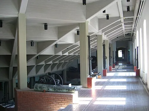 Istanbul Military Museum Museum, Şişli2.4 km SW
-
Great Mabeyn Mansion Historic site, Beşiktaş2 km SE
-
Yıldız Hamidiye Mosque Attraction, Beşiktaş2.1 km SE
-
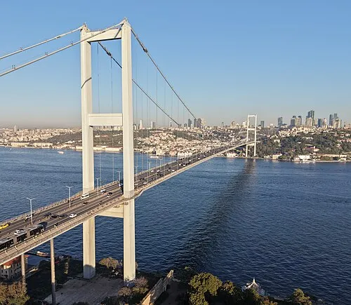 15 July Martyrs Bridge Landmark, Istanbul3.7 km SE
-
Maçka Park Natural site, Şişli2.6 km S
-
Cemil Topuzlu Open-Air Theatre Attraction, Şişli2.4 km S
Sources & licences
Data last updated: · 2 independent sources