Tahtalı Çayı
Located in İzmir Province, Turkey Coordinates: 38°03′19″ N 27°01′12″ E
- Elevation
- 3 m
- above sea level
- Local time
- UTC+03:00
- Europe/Istanbul · UTC+03:00
About Tahtalı Çayı
Tahtalı Çayı is a river. Location: İzmir Province, Turkey.
In comparison
- 8 sights and natural places within 10 km Büyük Çay, Sıçan Adası
Nearest towns and villages
Nearby attractions & nature
Everything nearby-
Büyük Çay River, İzmir Province1.3 km E
-
Sıçan Adası Island, İzmir Province1.3 km SW
-
Çamalan Deresi River, İzmir Province3.5 km W
-
Doğanbey Limanı Natural site, İzmir Province4.7 km W
-
Karacadağ Mountain, Menderes District7.1 km E
-
Palamut Dağı Mountain, Menderes District7.1 km E
-
Çukuraltı Limanı Natural site, İzmir Province7.6 km SE
-
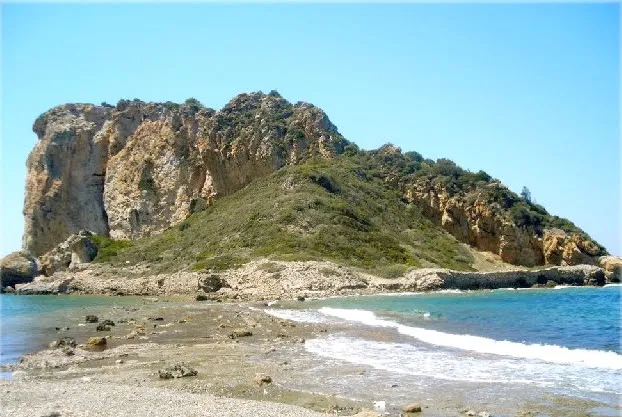 Çıfıtkalesi Adası Island, İzmir Province14 km W
Sources & licences
Data last updated: