Magazberd Fortress
Located in Kars, Kars Province Coordinates: 40°28′31″ N 43°32′31″ E
- Local time
- UTC+03:00
- Europe/Istanbul · UTC+03:00
- Elevation
- 1,439 m
- above sea level
About Magazberd Fortress
Magazberd Fortress is a historic site. Location: Kars, Kars Province.
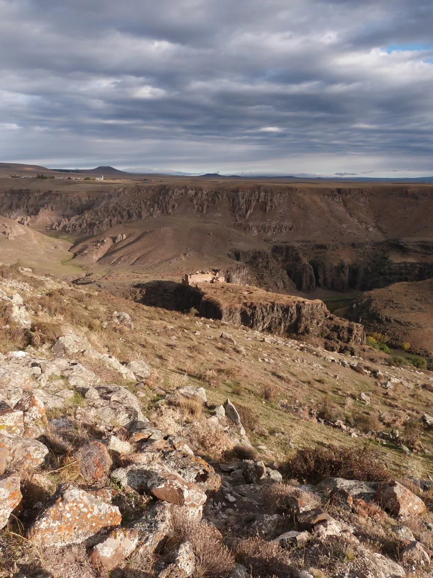
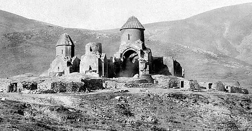
Magazberd or Maghasberd (Armenian: Մաղասաբերդ) is an archaeological site in Turkey's Kars Province, southwest of the ruined city of Ani. It consists of an Armenian castle and city, with a contemporary Ottoman cemetery in the narrow valley to the north.
Read more on Wikipedia Text: Wikipedia contributors · CC BY-SA 4.0 · shortened
In comparison
- 42 sights and natural places within 10 km Kayaoğlu Deresi, Saint Grigor Monastery (Aghkaberd, Ani)
Nearby attractions & nature
Everything nearby-
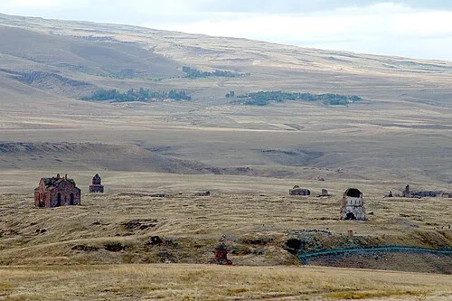 Ani Historic site, Kars4.4 km NE
-
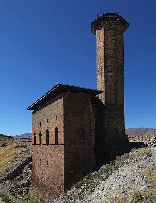 Menucihr Mosque Attraction, Kars4.1 km NE
-
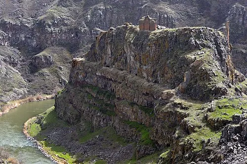 Saint Grigor Monastery (Aghkaberd, Ani) Attraction, Ani3.3 km NE
-
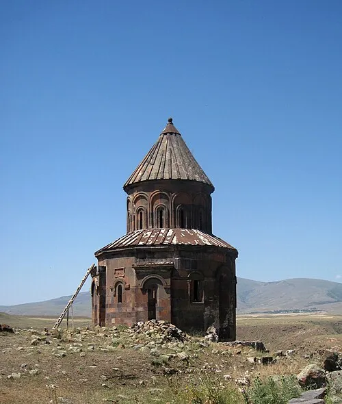 Saint Gregory of Abughamrents Church Attraction, Kars4.3 km NE
-
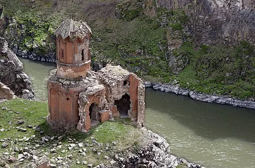 Monastery of the Hripsimyan Virgins Attraction, Kars4.4 km NE
-
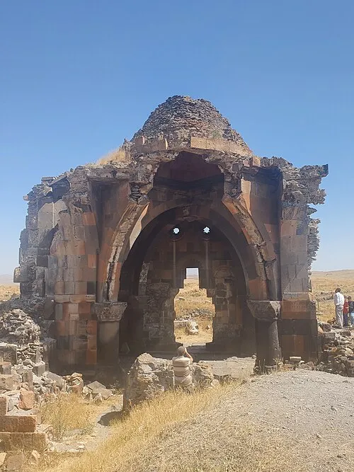 Church of the Holy Apostles Attraction, Kars4.5 km NE
-
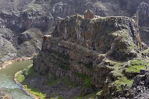 Kizkale Church Attraction, Kars3.3 km NE
-
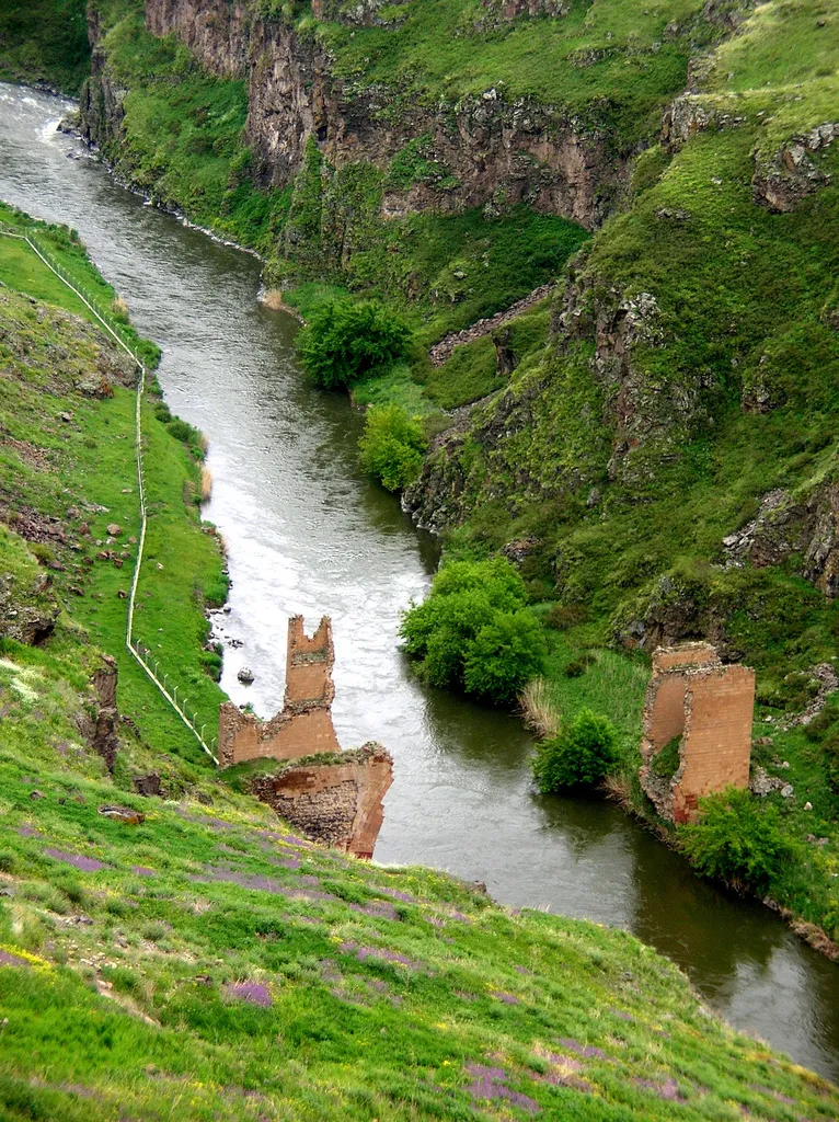 Bridge ruins over the Akhuryan river Historic site, Kars Province4.2 km NE
Nearest towns and villages
More sights in Kars
-
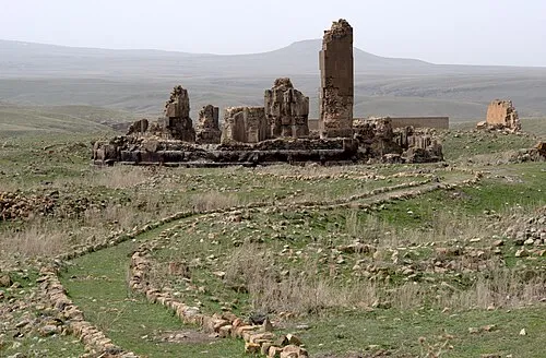 Cathedral of Saint Gregory the Illuminator Attraction, Kars4.5 km NE
-
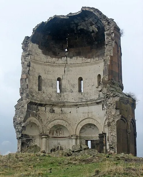 Church of the Holy Redeemer of Ani Attraction, Kars4.6 km NE
-
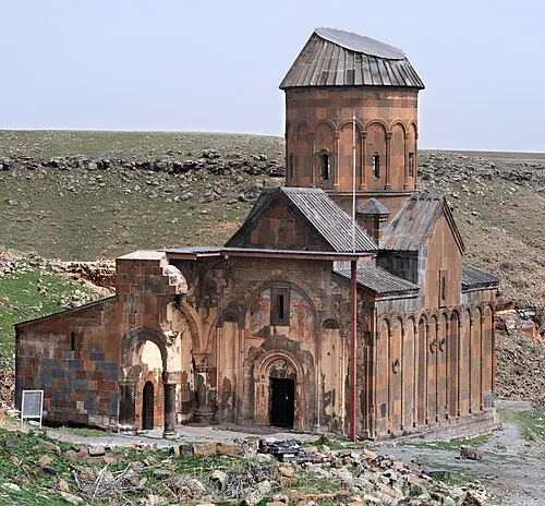 Tigran Honents Church Attraction, Kars4.6 km NE
-
 Bagnayr Monastery Historic site, Kars6.4 km NW
-
 Hovvi Church Historic site, Kars5.3 km NE
-
Abukhanmi Church Historic site, Kars3.5 km NE
Sources & licences
Data last updated: · 2 independent sources