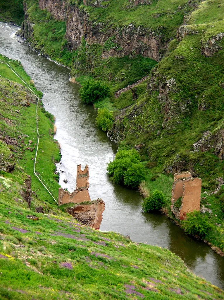
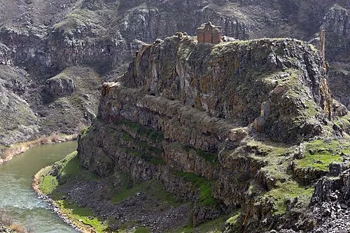
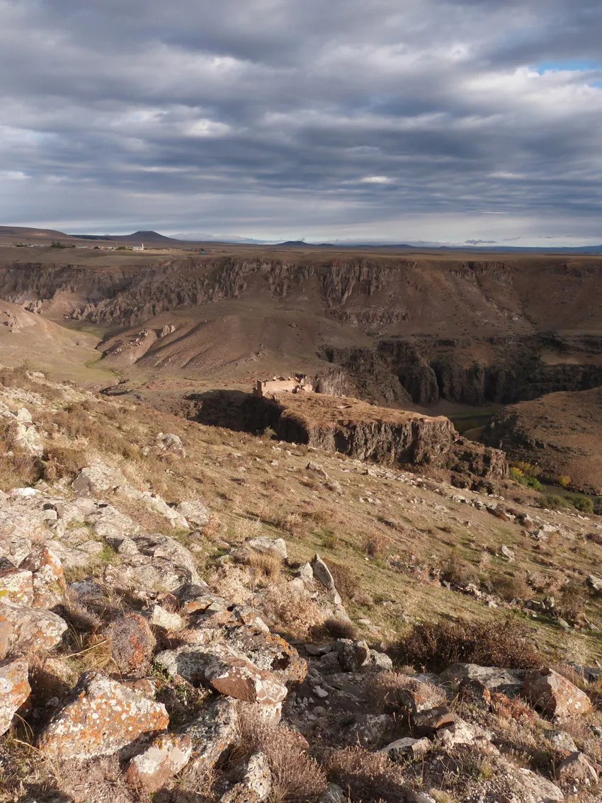
Bridge ruins over the Akhuryan river
Located in Kars Province, Turkey Coordinates: 40°30′15″ N 43°34′22″ E
- Local time
- UTC+03:00
- Europe/Istanbul · UTC+03:00
- Elevation
- 1,427 m
- above sea level
- Airports
- LWN Shirak International Airport37 km
- KSY Kars Airport39 km
About Bridge ruins over the Akhuryan river
Bridge ruins over the Akhuryan river is a historic site. Location: Kars Province, Turkey. The best months to visit are June, September. The nearest airport is Shirak International Airport (37 km). Nearby sights include Ani and Monastery of the Hripsimyan Virgins.
Climate of Bridge ruins over the Akhuryan river
Best months for sightseeingBest months for sightseeing: June, September.
This month · November
A cold month
Day 9° · Night -2° · Rain 25 mm
Better nearby cities in November
- Cizre · 373 km south20°
- Silopi · 375 km south20°
- Hottest month
- August (day 29°)
- Coldest month
- January (night -13°)
- Wettest month
- May (75 mm)
- Driest month
- January (16 mm)
Bars: average monthly low and high temperature. Below: precipitation. Monthly averages for 1970–2000 at about 18 km resolution, adjusted for elevation. Highlighted months are mild and relatively dry. Source: WorldClim 2.1 (CC BY 4.0).
Show values as a table
| Month | Jan | Feb | Mar | Apr | May | Jun | Jul | Aug | Sep | Oct | Nov | Dec |
|---|---|---|---|---|---|---|---|---|---|---|---|---|
| Average high (°C) | -3° | -1° | 5° | 14° | 19° | 24° | 29° | 29° | 25° | 17° | 9° | 1° |
| Average low (°C) | -13° | -12° | -5° | 2° | 6° | 9° | 13° | 13° | 8° | 3° | -2° | -8° |
| Precipitation (mm) | 16 | 22 | 24 | 46 | 75 | 63 | 38 | 30 | 23 | 33 | 25 | 19 |
How to get to Bridge ruins over the Akhuryan river
The nearest airport is Shirak International Airport (LWN), 37 km to the northeast as the crow flies. The nearest large city is Iğdır, 76 km to the southeast.
Airports
- Shirak International Airport (LWN) Gyumri 37 kmnortheast
- Kars Airport (KSY) Kars 39 kmwest
- Iğdır Airport (IGD) Iğdır 64 kmsoutheast
Nearby large cities
- Iğdır Population: 101.7K 76 kmsoutheast
- Ağrı Population: 124.5K 99 kmsouthwest
- Erzurum Population: 767.8K 206 kmwest
- Van Population: 525K 224 kmsouth
- Rize Population: 119.8K 264 kmwest
Straight-line distances; road distances are longer. Airport data: OurAirports.
Nearby attractions & nature
Everything nearby-
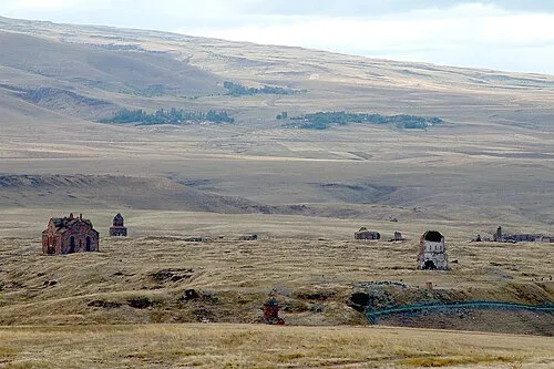 Ani Historic site, Kars0.4 km N
-
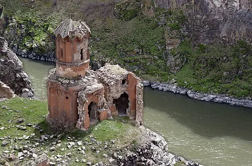 Monastery of the Hripsimyan Virgins Attraction, Kars0.3 km E
-
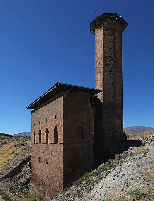 Menucihr Mosque Attraction, Kars0.3 km NW
-
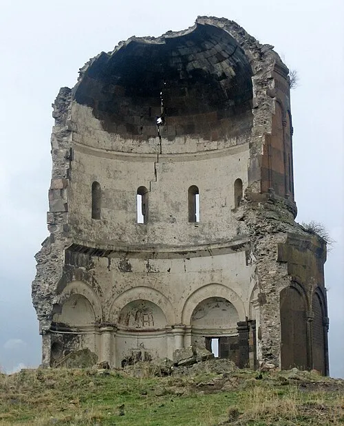 Church of the Holy Redeemer of Ani Attraction, Kars0.5 km NE
-
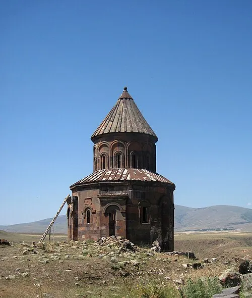 Saint Gregory of Abughamrents Church Attraction, Kars0.5 km NW
-
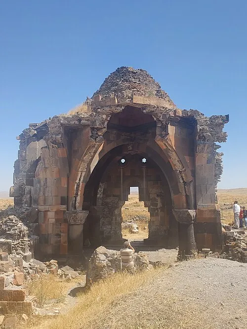 Church of the Holy Apostles Attraction, Kars0.5 km N
-
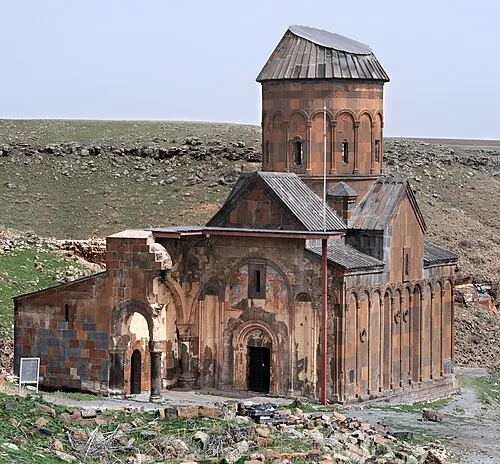 Tigran Honents Church Attraction, Kars0.5 km E
-
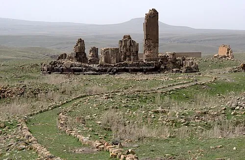 Cathedral of Saint Gregory the Illuminator Attraction, Kars0.8 km NW
Nearest towns and villages
More sights in Kars Province
-
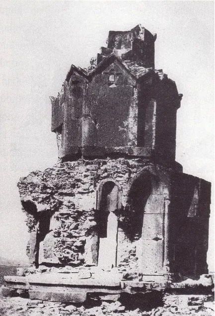 Hovvi Church Historic site, Kars1.2 km N
-
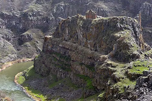 Saint Grigor Monastery (Aghkaberd, Ani) Attraction, Ani0.9 km SW
-
Abukhanmi Church Historic site, Kars0.7 km SW
-
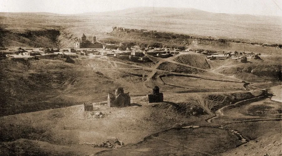 Horomos monastic complex Historic site, Kars5.2 km E
-
 Kizkale Church Attraction, Kars0.9 km S
-
 Magazberd Fortress Historic site, Kars4.2 km SW
Sources & licences
Data last updated: · 2 independent sources