Tahtalı Dağları
Located in Kayseri Province, Turkey Coordinates: 38°33′40″ N 36°29′27″ E
- Elevation
- 2,162 m
- above sea level
- Local time
- UTC+03:00
- Europe/Istanbul · UTC+03:00
About Tahtalı Dağları
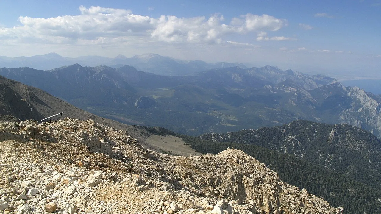
Tahtalı Dağları is a mountain. Location: Kayseri Province, Turkey. Elevation: 2,162 m.
The Tahtalı Mountain Range (Turkish: Tahtalı Dağları) are located in the Central Anatolian area of Turkey. It lies in the middle of the Taurus Mountains, mostly between the provinces of Kayseri, Adana, with smaller areas within the provinces of Sivas and Kahramanmaraş. The mountain range is location to the southeast of Kayseri province, south of Siva, north of Adana and northwest of Kahramanmaraş. The Tahtalı mountain range is between the two branches of the river Seyhan, as well as between Zamantı and Göksu.
Read more on Wikipedia Text: Wikipedia contributors · CC BY-SA 4.0 · shortened
In comparison
- No. 1990 of 12182 mountains in Turkey by elevation
- 5 sights and natural places within 10 km Keçili Dağı, Cavlak Pınarı
Nearest towns and villages
Nearby attractions & nature
Everything nearby-
Keçili Dağı Mountain, Sarız İlçesi2.1 km N
-
Cavlak Pınarı Natural site, Kayseri Province4.4 km E
-
Kuluncak Tepesi Mountain, Sarız İlçesi7.1 km SW
-
Kabaktepe Deresi River, Kayseri Province6.4 km NW
-
Eskiyayla Pınarı Natural site, Kayseri Province8.7 km NE
-
Kocadağ Tepesi Mountain, Sarız İlçesi10 km SW
-
İtdağı Mountain, Sarız İlçesi11 km SW
-
Kabak Tepesi Mountain, Sarız İlçesi11 km E
Sources & licences
Data last updated: · 2 independent sources