Kayseri Province
Local name: Kayseri ili
Located in Turkey Coordinates: 38°44′13″ N 35°29′49″ E
- Population
- 1,452,458
- 1.5M
- Elevation
- 1,052 m
- above sea level
- Local time
- UTC+03:00
- Europe/Istanbul · UTC+03:00
- Places inside
- 157
- listed under Kayseri Province
About Kayseri Province
Kayseri Province is a region. Location: Turkey. Population: 1,452,458.
Kayseri (Turkish pronunciation: [ˈkajseɾi]) is a large city in Central Anatolia, Turkey, and the capital of Kayseri province. Historically known as Caesarea, it has been the historical capital of Cappadocia since ancient times. The Kayseri Metropolitan Municipality area is composed of five districts: the two central districts of Kocasinan and Melikgazi, and since 2004, also outlying Hacılar, İncesu, and Talas. Kayseri has been selected by TURKSOY as the Cultural Capital of the Turkic World for 2027.
Read more on Wikipedia Text: Wikipedia contributors · CC BY-SA 4.0 · shortened
At a glance
- Area
- 16,917 km²
Source: Wikidata
In comparison
- 14 sights and natural places within 10 km Saint Gregory the Illuminator Church, Beş Tepesi
- Listed here: River: 75, Municipality: 26, District: 16, Mountain: 15
Places in Kayseri Province
157 places-
Kayseri City1.5M
-
Melikgazi District594.3K
-
Kocasinan District409K
-
Talas İlçesi District119.8K
-
Develi District66.8K
-
Yahyali District35.5K
-
Bünyan İlçesi District29.1K
-
Pınarbaşı İlçesi District26.6K
-
Tomarza İlçesi District25K
-
Incesu District24.3K
-
Yesilhisar District15.5K
-
Sarıoğlan İlçesi District15K
-
Hacılar İlçesi District12.4K
-
Sarız İlçesi District10.6K
-
Felahiye İlçesi District7K
-
Akkışla İlçesi District6.7K
-
Özvatan İlçesi District4.5K
-
Ağıl Dere River
-
Ağıl Dere River
-
Akarca Pınarı Natural site
-
Akçay Deresi River
-
Akkışla Bucağı Municipality
-
Ambar Suyu River
-
Asarak River
-
Asmaca Deresi River
-
Ataltı Pınar Natural site
-
Ayan Deresi River
-
Bahçeköy Village
-
Bakırdağı Bucağı Municipality
-
Berçin Deresi River
-
Beşik Tepe Mountain
-
Biçim Boğazı Natural site
-
Binboğa Dağları Mountain
-
Boğa Deresi River
-
Borandere River
-
Bünyan Bucağı Municipality
-
Bünyan Çayı River
-
Büyük Dere River
-
Çal Tepe Mountain
-
Camız Gölü Lake
-
Çat Dere River
-
Cavlak Pınarı Natural site
-
Çayırözününaltı Deresi River
-
Çiftlikköy Deresi River
-
Cipil Deresi River
-
Çorak Pınar Natural site
-
Çörümşek Deresi River
-
Değirmen Deresi River
-
Değirmentaşı Deresi River
-
Dekulsuyu River
-
Deliçay River
-
Develi Bucağı Municipality
-
Devetaşı Deresi River
-
Doğan Deresi River
-
Dumanlı Dere River
-
Duran Pınarı Natural site
-
Eğrikaya Tepesi Mountain
-
Elbaşı Bucağı Municipality
-
Elmalı Dağ Mountain
-
Engir Gölü Lake
Largest cities and towns
Nature and heritage in Kayseri Province
-
Zincirli Tepe Mountain, Yahyali
-
Sultan Dağı Mountain, Develi
-
Ayraklı Tepesi Mountain, Yahyali
-
Büyüksivri Tepe Mountain, Develi
-
Kılkoyak Tepesi Mountain, Sarız İlçesi
-
Karabayır Tepesi Mountain, Sarıoğlan İlçesi
Other regions in Turkey
-
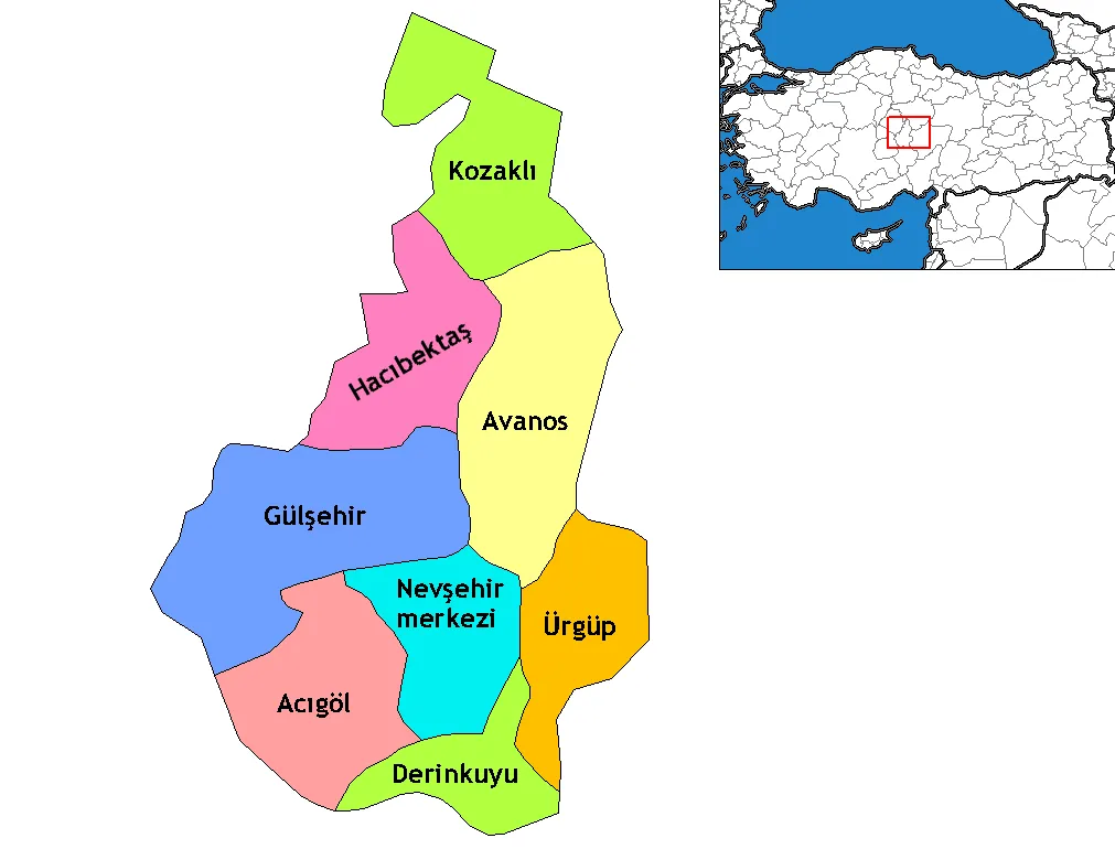 Nevşehir Province Region, Turkey75 km W
-
Yozgat Province Region, Turkey95 km N
-
Ürgüp District, Nevşehir Province52 km W
-
Boğazlıyan İlçesi District, Yozgat Province55 km N
-
Avanos District District, Nevşehir Province56 km W
Sources & licences
Data last updated: · 2 independent sources