Nevşehir Province
Local name: Nevşehir ili
Located in Turkey Coordinates: 38°55′00″ N 34°40′00″ E
- Population
- 310,011
- 310K
- Elevation
- 1,167 m
- above sea level
- Local time
- UTC+03:00
- Europe/Istanbul · UTC+03:00
- Places inside
- 64
- listed under Nevşehir Province
About Nevşehir Province
Nevşehir Province is a region. Location: Turkey. Population: 310,011.
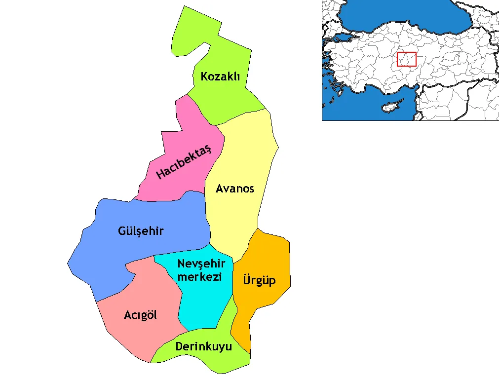
Nevşehir Province (Turkish: Nevşehir ili) is a province in central Turkey with its capital in Nevşehir. Its area is 5,485 km2, and its population is 317,952 (2024). Its adjacent provinces are Kırşehir to the northwest, Aksaray to the southwest, Niğde to the south, Kayseri to the southeast, and Yozgat to the northeast. Nevşehir includes the area called Cappadocia – a tourist attraction in Turkey. The town of Göreme is also located in Nevşehir. Nevşehir was declared a World Peace City by the United Nations.
Read more on Wikipedia Text: Wikipedia contributors · CC BY-SA 4.0 · shortened
At a glance
- Area
- 5,485 km²
Source: Wikidata
In comparison
- 6 sights and natural places within 10 km Çocuğuçullu Tepe, Fatma Çeşmesi
- Listed here: Natural site: 20, River: 19, Municipality: 11, District: 8
Places in Nevşehir Province
64 places-
Nevsehir District126.3K
-
Ürgüp District36.7K
-
Avanos District District34K
-
Gülşehir İlçesi District22.7K
-
Derinkuyu District District21.4K
-
Acıgöl District District19.7K
-
Kozaklı İlçesi District14.7K
-
Hacıbektaş District District11.5K
-
Acer Çeşmesi Natural site
-
Acıgöl Bucağı Municipality
-
Acısu Çayı River
-
Ağa Çeşmesi Natural site
-
Akıllı Çeşme Natural site
-
Alaçorak Deresi River
-
Asarca Deresi River
-
Avanos Bucağı Municipality
-
Balyeri Çeşmesi Natural site
-
Bayramuşağı Village
-
Büyükoluk Deresi River
-
Çallıyer Pınarı Natural site
-
Çayağıl Deresi River
-
Çayır Suyu River
-
Çiğdemli Boğazı Natural site
-
Çırçır Çeşmesi Natural site
-
Çırdıkınözü River
-
Damsa Çayı River
-
Darinöz River
-
Derinkuyu Bucağı Municipality
-
Derinöz Deresi River
-
Eraslan Deresi River
-
Fatma Çeşmesi Natural site
-
Gomeda Vadisi Natural site
-
Gülşehir Bucağı Municipality
-
Gümüşkent Bucağı Municipality
-
Gümüş Pınarı Natural site
-
Hacıbektaş Bucağı Municipality
-
Haflar Pınarı Natural site
-
Höyük Çeşmesi Natural site
-
Höyük Tepesi Mountain
-
Kalaycık Deresi River
-
Karaağaç Deresi River
-
Karahasanlı Bucağı Municipality
-
Karavenk Çeşmesi Natural site
-
Kavaklı Dere River
-
Kılıçlı Village
-
Kızılçukur Natural site
-
Kızılöz Deresi River
-
Koçcağız Çeşmesi Natural site
-
Kozaklı Bucağı Municipality
-
Kurunhöyük Gölü Lake
-
Kuşaklı Village
-
Madala Çeşmesi Natural site
-
Özonak Bucağı Municipality
-
Pancarlık Vadisi Natural site
-
Paşabağ Natural site
-
Pürçüklü Tepe Mountain
-
Sicim Deresi River
-
Sualgını Çeşmesi Natural site
-
Tarlacı Çeşmesi Natural site
-
Tokgöz Deresi River
Largest cities and towns
Nature and heritage in Nevşehir Province
-
Sivri Tepe Mountain, Nevsehir
-
Kırlangıç Tepesi Mountain, Hacıbektaş District
-
Göz Tepe Mountain, Nevsehir
-
Erdaş Dağı Mountain, Derinkuyu District
-
Ak Tepe Mountain, Avanos District
-
Kumlu Tepesi Mountain, Hacıbektaş District
Other regions in Turkey
-
Kayseri Province Region, Turkey75 km E
-
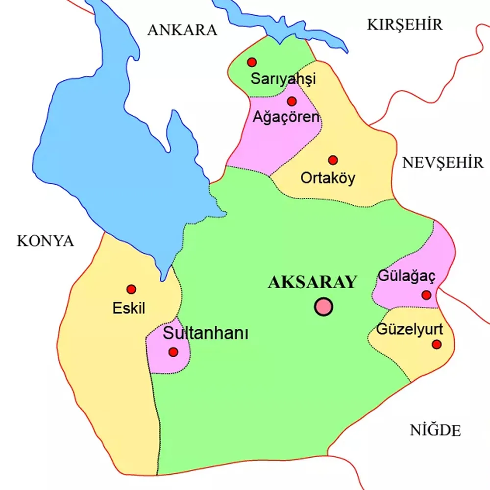 Aksaray Province Region, Turkey84 km SW
-
Kırşehir Province Region, Turkey63 km NW
-
Mucur İlçesi District, Kırşehir Province30 km NW
-
Yenifakılı İlçesi District, Yozgat Province44 km NE
-
Boğazlıyan İlçesi District, Yozgat Province60 km NE
Sources & licences
Data last updated: · 2 independent sources