Göreme
Located in Ürgüp, Nevşehir Province Coordinates: 38°38′34″ N 34°49′44″ E
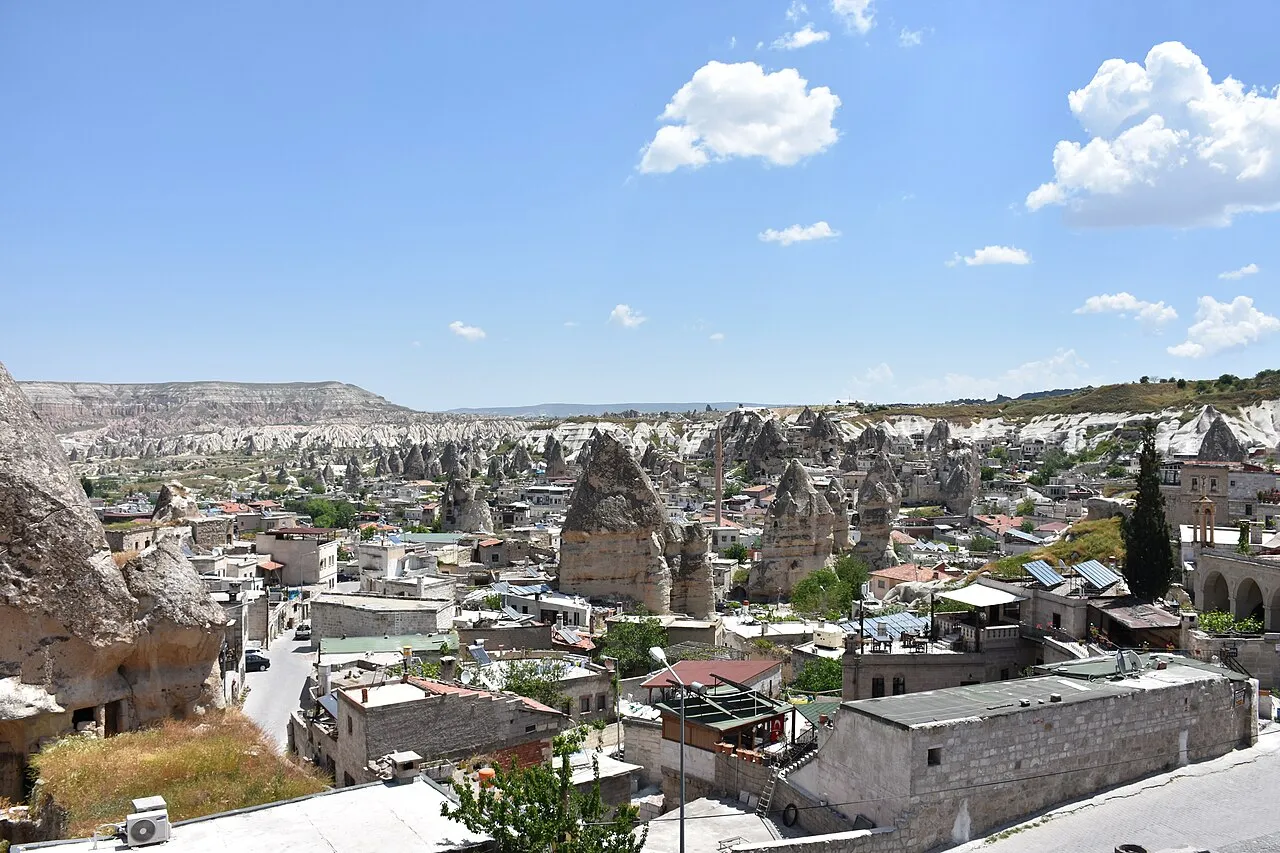
- Population
- 6,350
- 6.4K
- Elevation
- 1,082 m
- above sea level
- Local time
- UTC+03:00
- Europe/Istanbul · UTC+03:00
About Göreme
Göreme is a town. Location: Ürgüp, Nevşehir Province. Population: 6,350. Elevation: 1,082 m.
Göreme (Turkish: [ɟœˈɾeme]; Ancient Greek: Κόραμα, romanized: Kòrama) is a town (belde) in the Nevşehir District, Nevşehir Province in Central Anatolia, Turkey. Its population is 2,034 (2022). It is well known for its fairy chimneys (Turkish: peribacalar), eroded rock formations, many of which were hollowed out in the Middle Ages to create Christian churches, houses and underground cities. Göreme was formerly known as Korama, Matiana, Macan and Avcilar.
Read more on Wikipedia Text: Wikipedia contributors · CC BY-SA 4.0 · shortened
At a glance
- Area
- 98.8 km²
Source: Wikidata
In comparison
- No. 2 of 4 places in Ürgüp by population
- Nearest larger town: Ürgüp, 7 km E
- 18 sights and natural places within 10 km Göreme rock churches, Karanlik Kilise
Nearby attractions & nature
Everything nearby-
Göreme rock churches Attraction, Ürgüp1.4 km E
-
Karanlik Kilise Attraction, Ürgüp1.6 km E
-
Rose Valley Natural site, Avanos District2.2 km NE
-
Paşabağ Natural site, Nevşehir Province2.3 km NE
-
Göreme Harabesi Historic site, Nevsehir2.6 km E
-
Kaya Kalesi Historic site, Ürgüp3.1 km SE
-
Göreme National Park Natural site, Avanos District4 km N
-
Akdağ Mountain, Avanos District4.2 km NE
Sources & licences
Data last updated: · 2 independent sources