Kırşehir Province
Local name: Kırşehir ili
Located in Turkey Coordinates: 39°20′00″ N 34°10′00″ E
- Population
- 244,546
- 244.5K
- Elevation
- 1,134 m
- above sea level
- Local time
- UTC+03:00
- Europe/Istanbul · UTC+03:00
- Places inside
- 50
- listed under Kırşehir Province
About Kırşehir Province
Kırşehir Province is a region. Location: Turkey. Population: 244,546.
Kırşehir Province (Turkish: Kırşehir ili) is a province in central Turkey, forming part of the Central Anatolia Region. Its area is 6,584 km2, and its population is 244,519 (2022). The average elevation is approximately 985 meters above sea level. The provincial capital is Kırşehir. The geographical centre of all land surfaces on Earth is at 39°00′N 34°00′E, in Kırşehir Province, Turkey.
Read more on Wikipedia Text: Wikipedia contributors · CC BY-SA 4.0 · shortened
At a glance
- Area
- 6,584 km²
Source: Wikidata
In comparison
- 3 sights and natural places within 10 km Ziyaret Tepesi, Çoğun Barajı
- Listed here: River: 19, District: 7, Lake: 7, Municipality: 7
Places in Kırşehir Province
50 places-
Kaman İlçesi District39.2K
-
Mucur İlçesi District18.6K
-
Çiçekdağı İlçesi District15.5K
-
Akpınar İlçesi District8.2K
-
Boztepe İlçesi District5.5K
-
Akçakent İlçesi District4.5K
-
Acıözü River
-
Acıözü River
-
Akçakent Bucağı Municipality
-
Akkaşdağı Tepesi Mountain
-
Belarkaç Tepesi Mountain
-
Bölükçayır Deresi River
-
Bozada Tepesi Mountain
-
Büyüköz River
-
Çenderözü River
-
Çiçekdağı Bucağı Municipality
-
Çoğun Barajı Lake
-
Değirmen Dere River
-
Derin Dere River
-
Direklidamözü River
-
Göllü Bucağı Municipality
-
Kalkada Tepesi Mountain
-
Kaman Bucağı Municipality
-
Karaboğaz Göleti Lake
-
KaralıK Deresi River
-
Karaova Deresi River
-
Kirsehir District
-
Kılıçkaya Deresi River
-
Kırdök Sulama Göleti Lake
-
Kırşehir Çayı River
-
Kızılöz River
-
Kösefakılı Bucağı Municipality
-
Koşkerliözü Deresi River
-
Küçükkaraboğaz Deresi River
-
Lake Suğla Lake
-
Malaközü Deresi River
-
Mucur Bucağı Municipality
-
Nigaroğlu Göleti Lake
-
Öteyüzözü River
-
Şalgösteren Dere River
-
Savcılı Bucağı Municipality
-
Taşlama Çeşmesi Natural site
-
Taşlı Tepe Mountain
-
Topçu Village
-
Yayla Pınarı Natural site
-
Yazpınar Çeşmesi Natural site
-
Yellibel Tepesi Mountain
-
Yukarıöz Deresi River
Largest cities and towns
Nature and heritage in Kırşehir Province
-
Çanhoca Tepesi Mountain, Akpınar İlçesi
-
Çölünbel Tepesi Mountain, Boztepe İlçesi
-
Kızıl Dağ Mountain, Mucur İlçesi
-
Kalkanlı Dağı Mountain, Kirsehir
-
Bozluk Tepesi Mountain, Kirsehir
-
Yarımkale Tepesi Mountain, Kirsehir
Other regions in Turkey
-
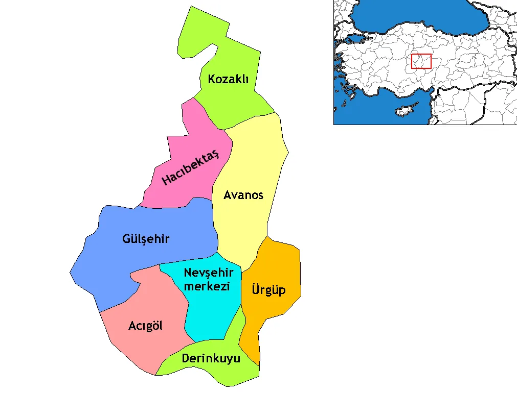 Nevşehir Province Region, Turkey63 km SE
-
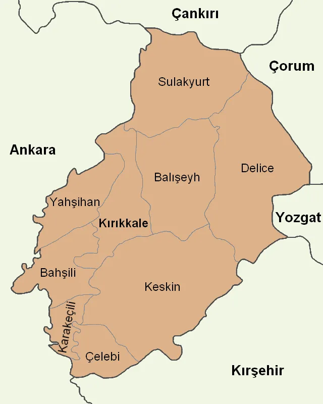 Kırıkkale Province Region, Turkey66 km NW
-
Yerköy İlçesi District, Yozgat Province44 km NE
-
Sarıyahşi İlçesi District, Aksaray Province47 km SW
-
Şefaatli İlçesi District, Yozgat Province55 km E
-
Hacıbektaş District District, Nevşehir Province55 km SE
Sources & licences
Data last updated: · 2 independent sources