Kırıkkale Province
Local name: Kırıkkale ili
Located in Turkey Coordinates: 39°50′00″ N 33°45′00″ E
- Population
- 277,046
- 277K
- Elevation
- 1,352 m
- above sea level
- Local time
- UTC+03:00
- Europe/Istanbul · UTC+03:00
- Places inside
- 32
- listed under Kırıkkale Province
About Kırıkkale Province
Kırıkkale Province is a region. Location: Turkey. Population: 277,046.
Kırıkkale Province (Turkish: Kırıkkale ili) is a province of Turkey. It is located on the crossroads of major highways east of Ankara leading east to the Black Sea region. Its area is 4,791 km2, and its population is 277,046 (2022). With its rapid population growth it has become an industrial center. The province was established in 1989 from part of Ankara Province. The provincial capital is Kırıkkale. Kırıkkale is a rapidly growing town in central Turkey, on the Ankara-Kayseri railway near the Kızılırmak River.
Read more on Wikipedia Text: Wikipedia contributors · CC BY-SA 4.0 · shortened
At a glance
- Area
- 4,365 km²
Source: Wikidata
In comparison
- 2 sights and natural places within 10 km Dinek Dağı, Kekik Tepe
- Listed here: District: 9, Municipality: 9, Natural site: 5, River: 5
Places in Kırıkkale Province
32 places-
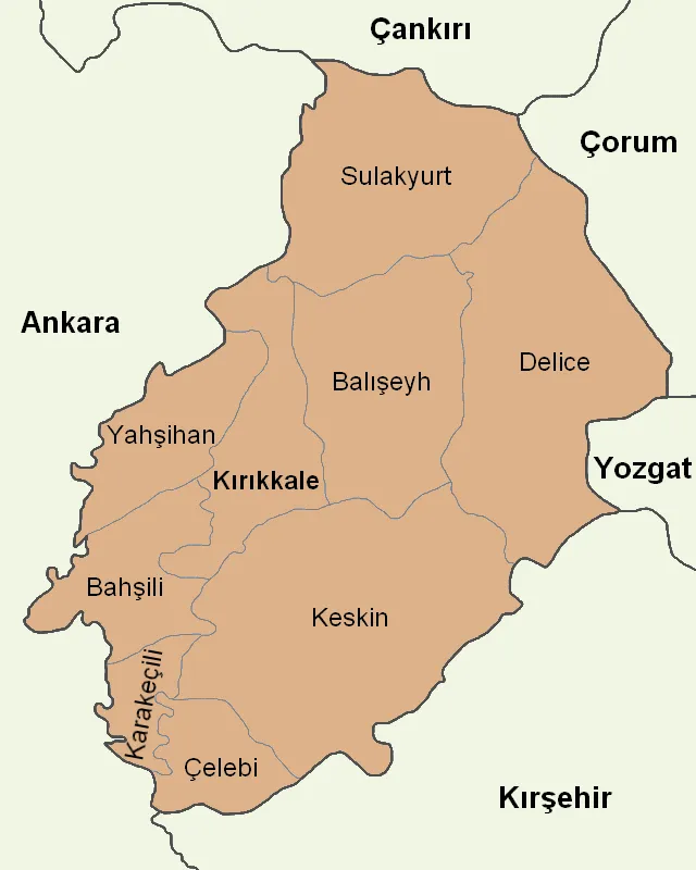
Keskin İlçesi District20.1K
-
Yahşihan İlçesi District19.5K
-
Delice İlçesi District10.1K
-
Sulakyurt İlçesi District7.8K
-
Bahşılı İlçesi District7K
-
Balışeyh İlçesi District6.6K
-
Karakeçili İlçesi District4.4K
-
Çelebi İlçesi District3.2K
-
Akkosan River
-
Bahşılı Bucağı Municipality
-
Balışeyh Bucağı Municipality
-
Belyol Çeşmesi Natural site
-
Çelebi Bucağı Municipality
-
Çifte Tepe Mountain
-
Çoruközü Deresi River
-
Delice Bucağı Municipality
-
Esatözü Deresi River
-
Eski Pınar Natural site
-
Helveren Çeşmesi Natural site
-
Karakeçili Bucağı Municipality
-
Karapınar Deresi River
-
Karpuz Tepesi Mountain
-
Keskin Bucağı Municipality
-
Kirikkale District
-
Kırıkkale Bucağı Municipality
-
Kışlabağ Tepesi Mountain
-
Kusalan Çeşmesi Natural site
-
Mahmutlarşarklısı Village
-
Özderesi River
-
Sarısak Çeşmesi Natural site
-
Sulakyurt Bucağı Municipality
-
Yahşihan Bucağı Municipality
Largest cities and towns
Nature and heritage in Kırıkkale Province
-
Karagüney Dağı Mountain, Kirikkale
-
Göztepe Tepesi Mountain, Keskin İlçesi
-
Yediler Tepesi Mountain, Keskin İlçesi
-
Çelebi Dağı Mountain, Çelebi İlçesi
-
Ziraat Tepesi Mountain, Balışeyh İlçesi
-
Kapapur Tepesi Mountain, Delice İlçesi
Other regions in Turkey
-
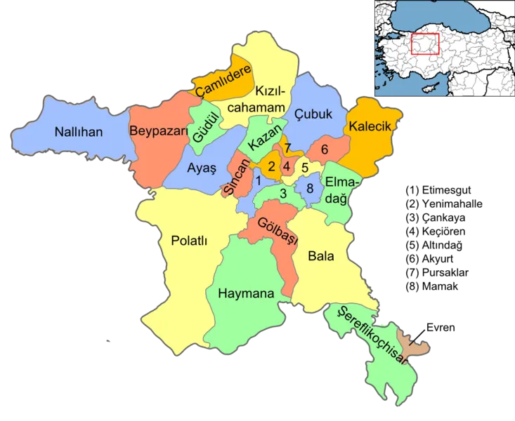 Ankara Province Region, Turkey77 km W
-
Kırşehir Province Region, Turkey66 km SE
-
Akçakent İlçesi District, Kırşehir Province36 km SE
-
Kalecik District District, Ankara Province41 km NW
-
Elmadağ İlçesi District, Ankara Province45 km W
-
Kaman İlçesi District, Kırşehir Province52 km S
Sources & licences
Data last updated: · 2 independent sources