Aksaray Province
Local name: Aksaray ili
Located in Turkey Coordinates: 38°21′54″ N 34°00′51″ E
- Population
- 433,055
- 433.1K
- Elevation
- 980 m
- above sea level
- Local time
- UTC+03:00
- Europe/Istanbul · UTC+03:00
- Places inside
- 54
- listed under Aksaray Province
About Aksaray Province
Aksaray Province is a region. Location: Turkey. Population: 433,055.
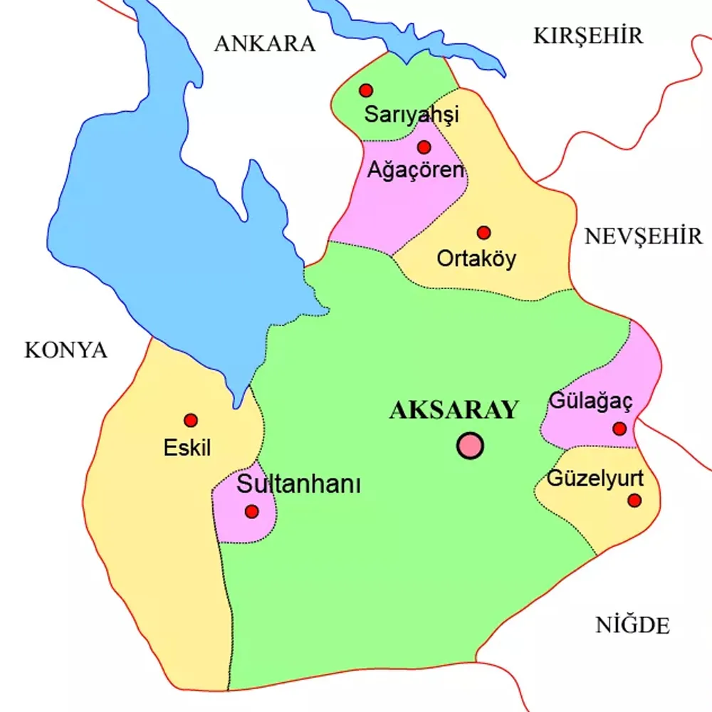
Aksaray Province (Turkish: Aksaray ili) is a province in central Turkey. Its adjacent provinces are Konya along the west and south, Ankara to the northwest, Niğde to the southeast, Nevşehir to the east, and Kırşehir to the north. Its area is 7,659 km2, and its population is 439.474 (2022). The provincial capital is the city of Aksaray. Aksaray is one of the four provinces in Cappadocia, along with Nevşehir, Niğde, and Kayseri. Also, the 3,000-metre (9,843 ft) volcano Mount Hasan stands between Aksaray and Niğde.
Read more on Wikipedia Text: Wikipedia contributors · CC BY-SA 4.0 · shortened
At a glance
- Area
- 7,626 km²
Source: Wikidata
In comparison
- 4 sights and natural places within 10 km Gümüşpınar Deresi, Yeniköy Deresi
- Listed here: River: 21, Municipality: 10, Natural site: 9, District: 8
Places in Aksaray Province
54 places-
Aksaray District201.6K
-
Ortaköy İlçesi District34.8K
-
Eskil İlçesi District26.2K
-
Gülağaç İlçesi District20.4K
-
Güzelyurt İlçesi District12.5K
-
Ağaçören İlçesi District9.3K
-
Sarıyahşi İlçesi District5.6K
-
Acıpınar Bucağı Municipality
-
Ağaçören Bucağı Municipality
-
Ağtaşlı Pınarı Natural site
-
Akgöl Lake
-
Balcı Bucağı Municipality
-
Beş Pınar Natural site
-
Beş Pınar Natural site
-
Değirmen Deresi River
-
Demirci Deresi River
-
Ebuhasan Deresi River
-
Eskil Bucağı Municipality
-
Eşmakaya Deresi River
-
Gülağaç Bucağı Municipality
-
Gümüşpınar Deresi River
-
Güvercinlik Deresi River
-
Güzelyurt Bucağı Municipality
-
Hacıömer Çeşmesi Natural site
-
Ihlara Vadisi Natural site
-
Irgatlı Deresi River
-
Karaboğaz Deresi River
-
Karaova Deresi River
-
Karasu River
-
Karasu Çayı River
-
Karasu Çayı River
-
Karatalkuyusu Deresi River
-
Koca Dere River
-
Kolak Yaylası Village
-
Kulhasan Deresi River
-
Melendizsuyu River
-
Musluk Çeşmesi Natural site
-
Obruk Village
-
Obruk Platosu Natural site
-
Öteyüzözü Deresi River
-
Oyuklu Boğaz Natural site
-
Özdere River
-
Şabanlı Deresi River
-
Sarıyahşi Bucağı Municipality
-
Şirinler Yaylası Village
-
Sultanhanı District
-
Sultanhanı Bucağı Municipality
-
Taşpınar Bucağı Municipality
-
Tekmezar Tepesi Mountain
-
Üçhöyüğünözü Deresi River
-
Yenice Village
-
Yeniköy Deresi River
-
Yeşilova Bucağı Municipality
-
Yunus Çeşmesi Natural site
Largest cities and towns
Nature and heritage in Aksaray Province
-
Mount Hasan Mountain, Aksaray
-
Boz Dağ Mountain, Sarıyahşi İlçesi
-
Keklikkaya Tepesi Mountain, Aksaray
-
Tavşan Dağı Mountain, Aksaray
-
Kızıl Tepe Mountain, Aksaray
-
Mahmutlu Tepesi Mountain, Aksaray
Other regions in Turkey
-
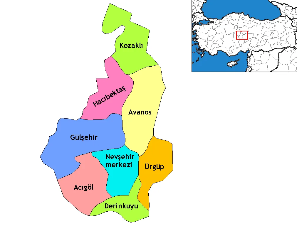 Nevşehir Province Region, Turkey84 km NE
-
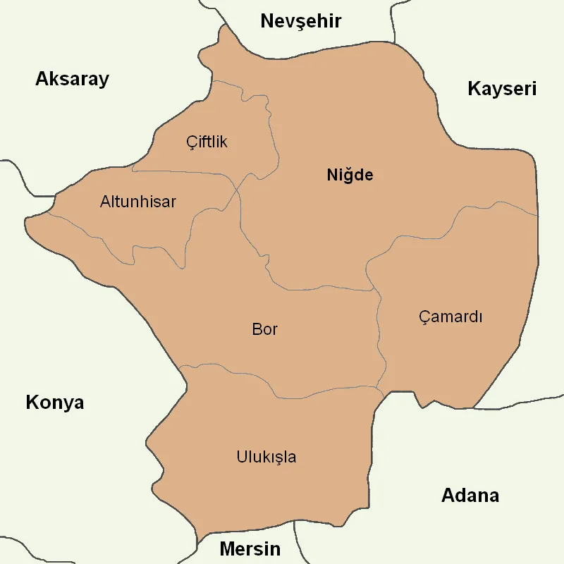 Niğde Province Region, Turkey87 km SE
-
Çiftlik District District, Niğde Province45 km SE
-
Acıgöl District District, Nevşehir Province49 km NE
-
Altunhisar District District, Niğde Province51 km SE
-
Nevsehir District, Nevşehir Province64 km NE
Sources & licences
Data last updated: · 2 independent sources