Niğde Province
Local name: Niğde ili
Located in Turkey Coordinates: 37°50′00″ N 34°45′00″ E
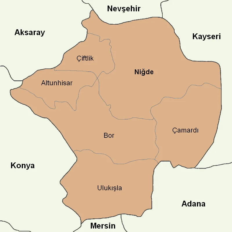
- Population
- 365,419
- 365.4K
- Elevation
- 1,559 m
- above sea level
- Local time
- UTC+03:00
- Europe/Istanbul · UTC+03:00
- Places inside
- 49
- listed under Niğde Province
About Niğde Province
Niğde Province is a region. Location: Turkey. Population: 365,419.
Niğde Province (Turkish: Niğde ili) is a province in the southern part of Central Anatolia, Turkey. Its area is 7,234 km2, and its population is 365,419 (2022) of which 170,511 live in the city of Niğde. The population was 348,081 in 2000 and 305,861 in 1990. Neighbouring provinces are Kayseri, Adana, Mersin, Konya, Aksaray and Nevşehir. The province is surrounded on three sides by mountain ranges: the Taurus Mountains, Mount Hasan, and the Melendiz Mountains.
Read more on Wikipedia Text: Wikipedia contributors · CC BY-SA 4.0 · shortened
At a glance
- Area
- 7,312 km²
Source: Wikidata
In comparison
- 4 sights and natural places within 10 km Elma Deresi, Kurbanpınar Deresi
- Listed here: River: 22, Municipality: 7, Natural site: 7, District: 6
Places in Niğde Province
49 places-
Bor District60.9K
-
Çiftlik District District29.6K
-
Ulukisla District19K
-
Çamardı District District15.7K
-
Altunhisar District District14.5K
-
Acıgöl Lake
-
Acıöz Dere River
-
Alihoca Deresi River
-
Altunhisar Bucağı Municipality
-
Boğaz Deresi River
-
Bor Bucağı Municipality
-
Boyalık Deresi River
-
Çamardı Bucağı Municipality
-
Çayıçı Deresi River
-
Çiftehan Bucağı Municipality
-
Çökelek Deresi River
-
Deli Dere River
-
Elma Deresi River
-
Göğüs Deresi River
-
Gölcük Bucağı Municipality
-
Halilböğre Deresi River
-
İkitepe Çeşmesi Natural site
-
İmrahor River
-
Karpuzbaşı Şelalesi Natural site
-
Kavakçaören Deresi River
-
Keçibenli Tepesi Mountain
-
Kemerhisar Bucağı Municipality
-
Kemerhisar İçmecesi Natural site
-
Kırkgeçit Deresi River
-
Kızılcameşe Çeşmesi Natural site
-
Kızılöz Dere River
-
Kösedilin Dağı Mountain
-
Kurbanpınar Deresi River
-
Kurugöl Çeşmesi Natural site
-
Nigde District
-
Omarlı Deresi River
-
Ören Deresi River
-
Sap Deresi River
-
Şeytan Deresi River
-
Şileğin Boğazı Natural site
-
Süğdeli Tepe Mountain
-
Tömekyaylası Village
-
Toprakkayalar Çeşmesi Natural site
-
Üçkapılı Dere River
-
Uluağaç Deresi River
-
Uluağaç Göleti Lake
-
Ulukışla Bucağı Municipality
-
Uluyol Sarnıcı Lake
-
Yalak Deresi River
Largest cities and towns
Nature and heritage in Niğde Province
-
Göllü Dağ Mountain, Nigde
-
Sansar Tepesi Mountain, Ulukisla
-
Baba Tepesi Mountain, Ulukisla
-
Gellek Tepesi Mountain, Nigde
-
Kara Tepe Mountain, Çamardı District
-
Ölmez Tepesi Mountain, Ulukisla
Other regions in Turkey
-
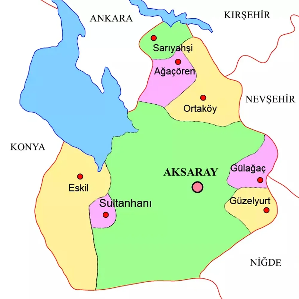 Aksaray Province Region, Turkey87 km NW
-
 Adana Province Region, Turkey106 km SE
-
Pozantı District, Adana Province46 km S
-
Derinkuyu District District, Nevşehir Province57 km N
-
Yahyali District, Kayseri Province62 km E
-
Tarsus District, Mersin Province85 km S
Sources & licences
Data last updated: · 2 independent sources