Mustafapaşa
Located in Ürgüp, Nevşehir Province Coordinates: 38°35′06″ N 34°53′54″ E
- Population
- 1,725
- 1.7K
- Elevation
- 1,159 m
- above sea level
- Local time
- UTC+03:00
- Europe/Istanbul · UTC+03:00
About Mustafapaşa
Mustafapaşa is a village. Location: Ürgüp, Nevşehir Province. Population: 1,725. Elevation: 1,159 m.
Mustafapaşa, formerly known as Sinasos (Greek: Σινασός), is a town (belde) in the Ürgüp District of Nevşehir Province, Turkey. Its population is 1,295 (2022). Its status as a town had been downgraded to village with 2013 Reorganisation up until the court order in 2024. It lies to the west of Gomeda valley and is 5 kilometres (3.1 mi) away from Ürgüp and 27 kilometres (17 mi) away from Nevşehir town. There are two main explanations of the origin of its name.
Read more on Wikipedia Text: Wikipedia contributors · CC BY-SA 4.0 · shortened
In comparison
- No. 3 of 4 places in Ürgüp by population
- Nearest larger town: Ürgüp, 5 km N
- 18 sights and natural places within 10 km Büyükoluk Deresi, Pancarlık Vadisi
Nearby attractions & nature
Everything nearby-
Büyükoluk Deresi River, Nevşehir Province2.2 km NE
-
Pancarlık Vadisi Natural site, Nevşehir Province2.7 km NW
-
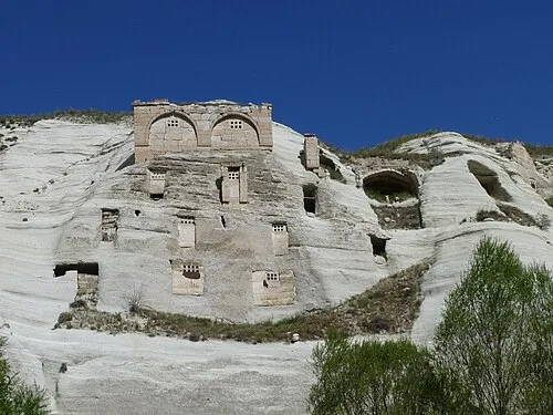 Gomeda Vadisi Natural site, Nevşehir Province3.6 km SW
-
Kavaklı Dere River, Nevşehir Province3.8 km N
-
Kaya Kalesi Historic site, Ürgüp5.8 km NW
-
Avla Dağı Mountain, Ürgüp7.1 km SE
Sources & licences
Data last updated: · 2 independent sources